
Weather warnings in five states as cold fronts pummel SE Australia
A burst of severe wintry weather will spread across southeastern Australia over the next two days, including damaging winds, rain, thunderstorms and snow in multiple states.
The satellite images below show a broad area of speckled clouds to the south of Australia, which is associated with a large pool of cold polar air moving northwards from the Southern Ocean. Picture
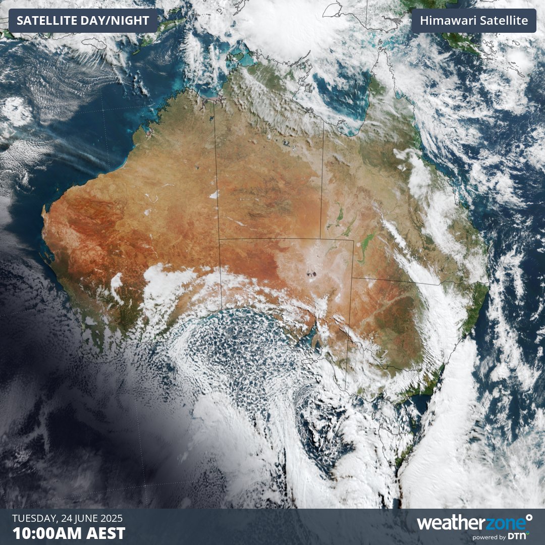
Image: Visible satellite image showing speckled cloud to the south of Australia on Tuesday morning.
This frigid air mass is being driven towards Australia by a complex low pressure system that will deliver a burst of cold, wet and windy weather across the country’s southeastern states during the first half of this week.
Conditions deteriorated over SA on Monday as the first in a series of cold fronts arrived in southern Australia, causing dust storms, rain and damaging winds.
This system delivered around 20 to 30 mm of rain to parts of the Mount Loft Ranges, Kangaroo Island, the Yorke and Eyre Peninsulas and the West Coast districts in SA, giving a welcome drop to areas that just had one of their driest starts to a year on record.
Monday night also saw heavy rain falling over Australia’s mainland alps as pre-frontal warmth and moisture combined to deliver 60 to 90 mm of precipitation in the high mountains of northeast Vic and southern NSW, most of which fell as rain.
On Tuesday, blustery winds and showers will continue to spread across southeastern Australia as the front that arrived over SA on Monday moves further east. A second cold front will also cross SA and southeastern Australia on Tuesday and Wednesday, prolonging the cold, wet and windy weather.
This procession of cold fronts, along with the associated low pressure system, will cause damaging winds, showers and wintry temperatures across parts of SA, Tas, Vic, the ACT and NSW on Tuesday and Wednesday. Severe weather warnings have been issued for damaging wind gusts in parts of all five states/territories.
Some notable wind gusts up to 10am AEST on Tuesday included:
- 122 km/h at Thredbo Top Station, NSW
- 117 km/h at Mount Buller, Vic
- 111 km/h at Mount Hotham, Vic
- 107 km/h at kunanyi / Mount Wellington, Tas
- 93 km/h at Murrurundi Gap, NSW
- 89 km/h at Minlaton airport, SA
The map below shows how much rain is expected to fall across southeastern Australia between Monday night and Thursday night. Falls of 20 to 40 mm are likely across parts of SA, Tas, Vic, NSW and the ACT. Heavier three-day totals of about 50 to 120 mm will target the ranges in southern NSW and northeast Vic, although this includes what has already fallen on Monday night. Picture
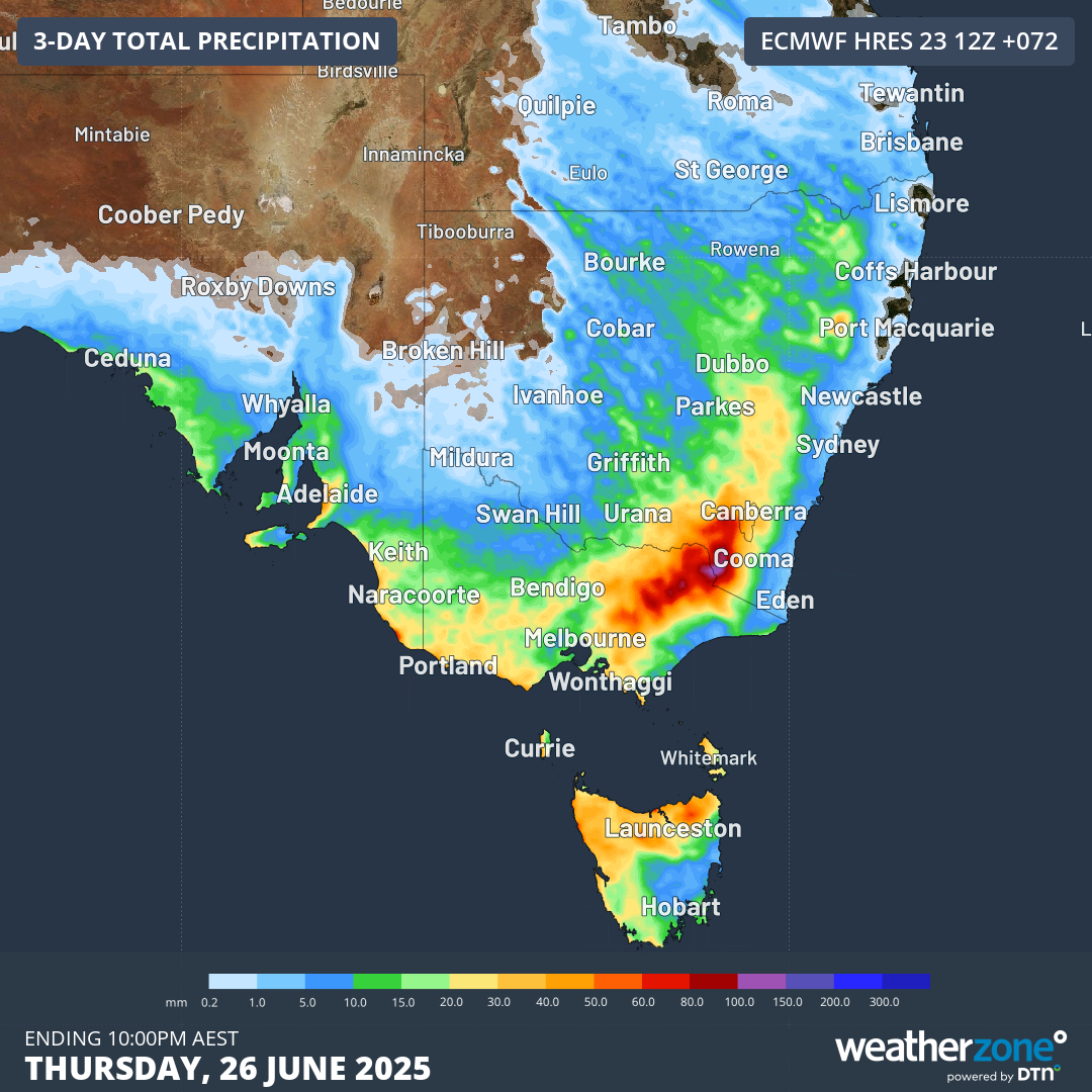
Image: Forecast accumulated rain during the 72 hours ending at 10pm AEST on Thursday, June 26, 2025.
While heavy rain fell over Australia’s mainland Alps on Monday night, lower temperatures will replace the rain with snow from Tuesday afternoon into Wednesday. This should deliver about 20 to 30cm of fresh snow to the mainland ski resorts, making up for the snow that was melted by Monday night’s pre-frontal rain.
The combination of snow and powerful winds will also lead to blizzard conditions in exposed areas of the Alps from Tuesday afternoon.
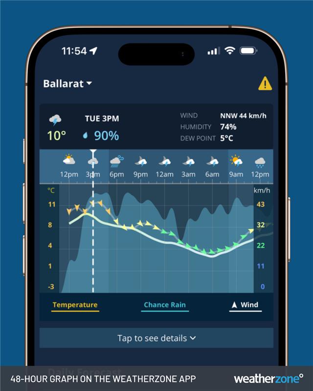
Image: Wind, temperature and chance of rain graph on the Weatherzone app.
Be sure to check the latest forecasts and severe weather warnings in southeastern Australia over the next 48 hours.