
Sydney swelters in 30°C
Sydney Airport reached 30.1°C at 1:40pm on Monday, just eight days after winter, as a surge of early spring warmth baked the east coast in a blustery northwesterly airstream.
In summer, Sydney’s west is often considerably hotter than the coastal suburbs on days when winds have a westerly aspect. But in springtime – and especially early in the season – the city’s east (where the airport is located) can be as warm as the west, or even slightly warmer.
That's the situation this Monday, with the mercury topping 29°C at several locations in the city’s west and similarly warm conditions near the coast. To 3pm, only the airport had registered a reading of 30°C or higher.
The highest temperature recorded to 3pm at Sydney’s official weather station at Observatory Hill was 29.0°C.
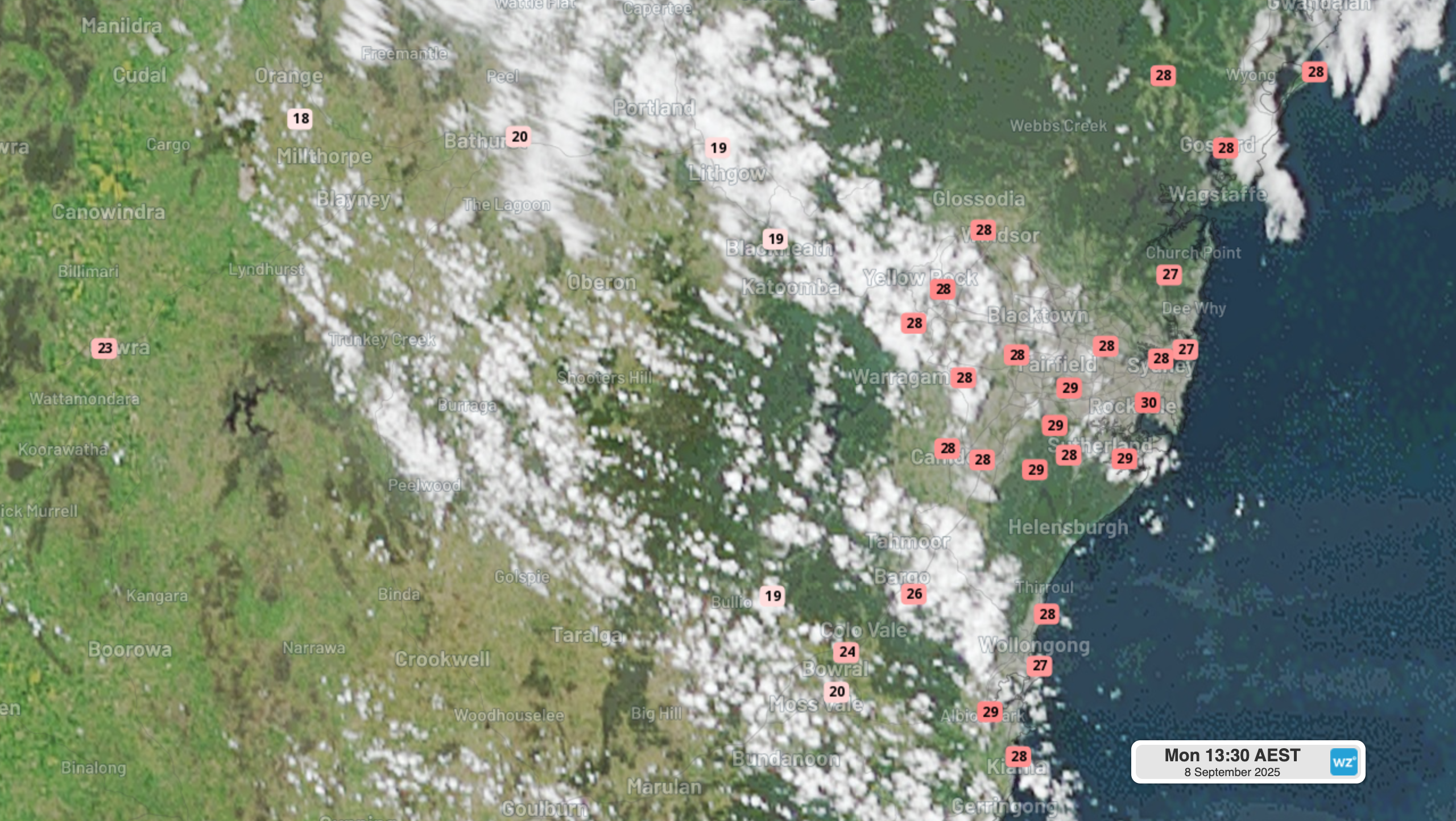
Image: Satellite image with live temperatures across the Sydney basin and nearby parts of NSW at 1:30pm (AEST) on Monday, September 8, 2025.
It’s worth noting that the Sydney Airport weather station sits on a grassy area to the side of the runways to minimise the "heat island effect" generated by the large areas of asphalt.
Why is Sydney so hot today, and is 30 degrees unusual so soon after winter?
Those blustery northwesterly winds mentioned earlier (gusts today have topped 60 km/h at several weather stations in the Sydney area) are pushing warm air from the interior of the country towards the east coast.
READ MORE: Spring see-saw brings wildly fluctuating temperatures
Days of 30-degrees or slightly higher in the Sydney basin are not unknown this early in the season. Indeed, Sydney Airport reached 31.5°C almost exactly a year ago, on September 6, 2024.The city’s maximum that day was 29.7°C.
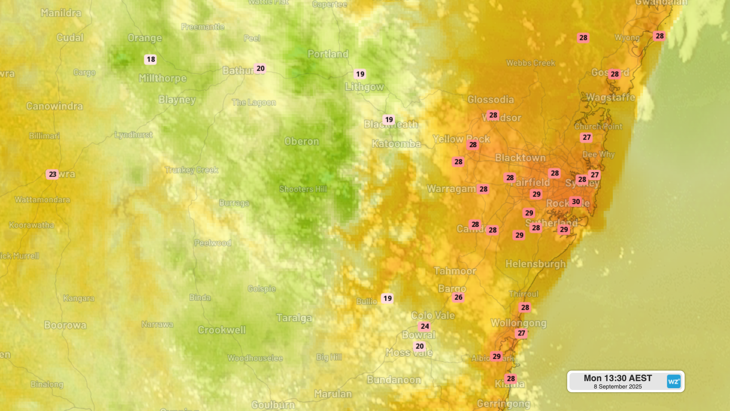
Image: Live temperatures across the Sydney basin and nearby parts of NSW at 1:30pm (AEST) on Monday, September 8, 2025.
Sydney temperatures will start to drop as the week progresses, bringing maximums much closer to the September average of 20.2°C. Rain should arrive later on Wednesday and persist into Thursday, when a maximum of just 18°C is expected.