
Sydney 'mizzle' set to stick around for a while yet
If Thursdays have a feel, then that feel has to be pretty close to the weather in Sydney today.
For the record, the weather in Sydney on this Thursday January 28 is drizzly. Not rainy, not stormy - just miserable and drizzly with a strong vibe of "Can this week be over already?"
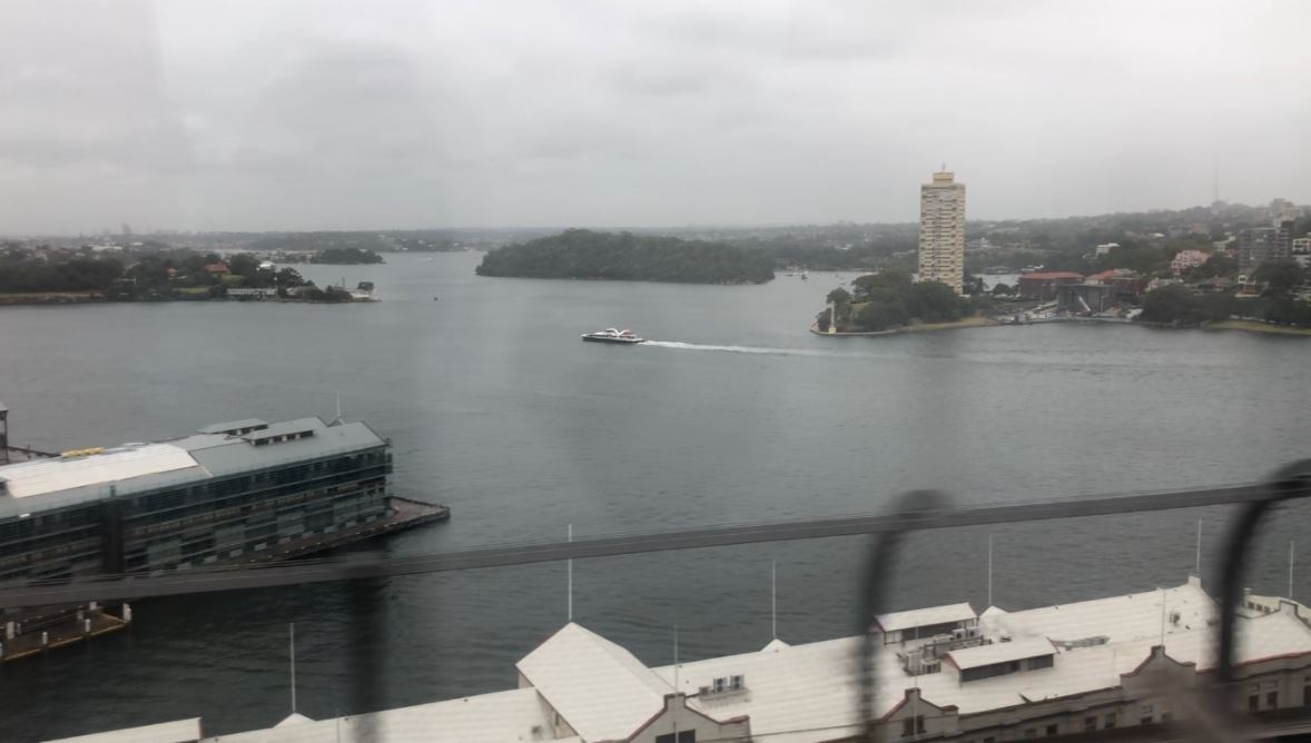
Image: Your reporter stares aimlessly out the window of the train through the mizzle on his way to work. Source: Ant Sharwood.
Sydney had its first decent rain in almost three weeks on Wednesday. After the hottest Australia Day since 1960 when temperatures exceeded 40 degrees in some parts of the city, a cool change arrived on Wednesday with moderate to heavy rain in the evening.
The city received 19 mm during the 24 hours to 9am Thursday, which was the heaviest daily total for the year to date, and the first fall of more than 1.2mm since January 8.
By Thursday morning, the rain had turned to the sort of misty drizzle which cricket commentators often call "mizzle". And the mizzle doesn't look set to fizzle anytime soon.
"This onshore drizzly flow is not going anywhere today and looks like it might increase to slightly heavier rain on Friday as mid-level moisture in the atmosphere increases," Weatherzone meteorologist Ben Domensino said.
While heavier rain is forecast for Sydney on Friday, the heaviest rain in eastern Australia appears likely to fall in Victoria, with up to 100 mm possible in northern parts of the sate.
You can keep up to date with the latest Victorian Flood warnings here.