
Surprisingly heavy mainland snowfall overnight
The series of cold fronts crossing Tasmania have briefly surged far enough north to deliver a surprisingly heavy snowfall to mainland alpine regions.
To 9 am on Wednesday morning, 11 mm of precipitation had been recorded in the Perisher Valley gauge, which translates to about 11 cm of snow on the ground – as you can see on the snow cam image below which is time and date stamped.
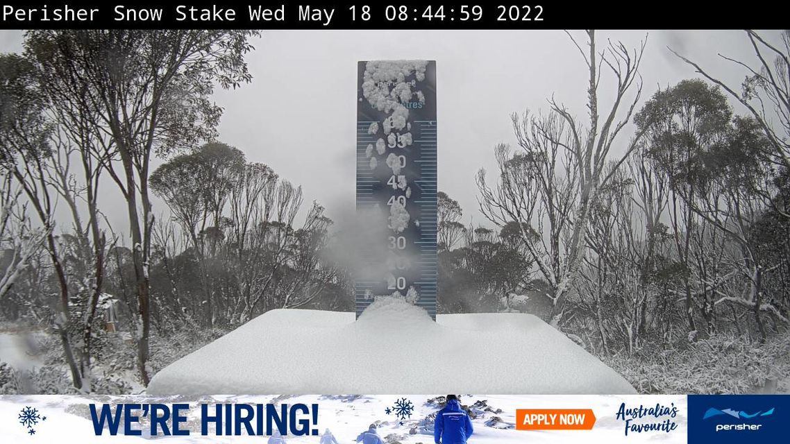
Image: Plenty of snow, and plenty of jobs for snow lovers too, so it seems: Source: Perisher.com.au.
Meanwhile in Tasmania, locals say the snow depth is now around 20 cm at the tiny volunteer-run skifield of Mt Mawson, an hour-and-a-half from Hobart.
We wrote about this week's Tassie snow on Monday, noting that highland snowfalls of 20 cm or thereabouts could be expected, and so it has proven.
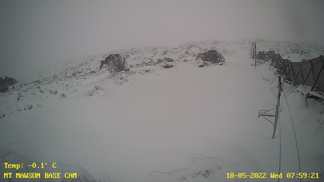
Image: Time to wax the boards! Source: Mt Mawson.
But mainland snowfalls were expected to be considerably lighter, perhaps amounting to no more than a centimetre or two. In simple terms, the fronts were just too far south – slamming into Tasmania on their journey across the Southern Ocean but only just clipping the very southern tip of the mainland.
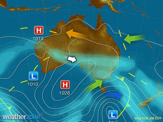
You can see that illustrated on the synoptic chart above, but there's one thing you can’t see, and that's how the cloud that made overnight snowfalls heavier than expected came from a low pressure system near southwestern Australia.
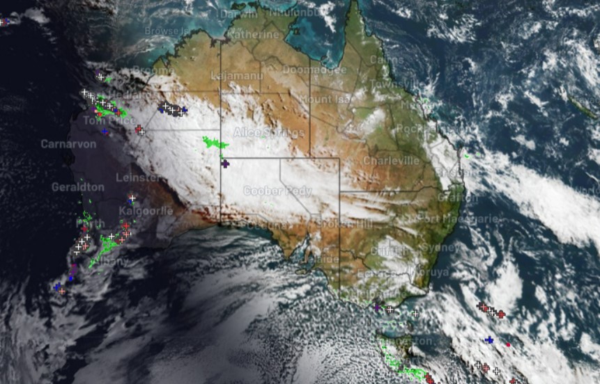
Cloud from the low was picked up by a cold front and carried all the way across the Great Australian Bight to eastern Australia. You can see that cloud over the Australian Alps, as well as storm activity associated with low southwest of WA on this morning's satellite image.
By later today, snow and strong winds should start to ease over Tasmanian and mainland mountain districts, with a spell of mostly fine weather with cold frosty nights ahead.