
How long will this sunny La Nina break last for?
Large parts of eastern Australia are having a brief break from the relentless big wet of November and the first week of December – but how long will sunny conditions prevail for?
We should make it clear from the top of this story that sections of eastern Australia have already seen rain and showers this week, while other parts will see showers and storms later this week and next week.
But for now, the good news for people in eastern Australia seeking a taste of what you might call "real summer weather" is that the sun should stay out in most areas, with mild to warm and even hot temperatures over the next few days.
We can also state that this doesn't mean La Niña has "given up", so to speak. Even the wettest La Nina summers don't bring rain all the time.
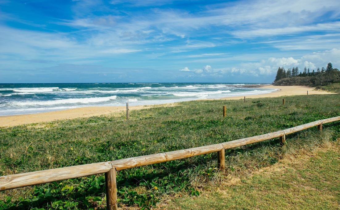
Image: It's been wet for so long, everyone has forgotten how to go to the beach. Source: Dan_Park via Pixabay.
La Niña means wetter summers, but it's not just rain, rain, rain
As Weatherzone meteorologist Ben Domensino explained in the very wet week around November 22 when La Niña was officially declared:
"La Niña is a broad-scale circulation in the Pacific Ocean that is characterised by warmer-than-average sea surface temperatures near Australia and abnormally cool water in the central and eastern equatorial Pacific Ocean.
"The rain that's soaking Australia this week is a classic footprint of La Niña and the type of weather that's likely to feature more regularly this summer.
For those of you hoping for continued sunshine, the key phrase in Ben's story was "more regularly". As in, wet weather will feature more regularly, but not constantly.
VID HERE
For more info on this summer's La Niña, and how La Niñas in general work, you should watch the video above.
You should also know that the record-breaking run of the SAM (Southern Annular Mode – another key climate driver) is set to continue. This means that Southern Ocean cold fronts and low pressure systems are further south than usual, which again opens the door for more summer rain in large parts of Australia.
But even with at least two major climate drivers pointing to wetter-than-usual summer weather, you can still get a break like most areas of eastern Australia are experiencing now.
So how long will this comparatively dry spell last?
That obviously depends on where you live. For detailed forecasts, please click the weather tab on our homepage, then click on your state.
The good news is we are not looking at any widespread and heavy rain in any of the eastern states for the next seven days or so, extending into next week.
Queensland shouldn't see too much action, and that includes the tropics (possibly due to the Madden-Julian Oscillation moving into an inactive phase) while SA, VIC, Tassie and NSW and the ACT should all stay mostly fine for the next week or so, give or take a shower here and a thunderstorm there.
Temps will start to rise in inland areas, but any extreme heat should be confined to outback parts of the country.
So overall… the sun should keep shining most of the time for a week or so yet
Usually in Australia11111111, it's not great form to say, "Hooray, it'll be a nice fine week!" because there is always someone somewhere desperate for rain.
But with the majority of people in eastern Australia having copped a spell of seriously soggy and sometimes dangerously wet weather for many weeks now, we hope you enjoy the sunshine.
We'll let you know next week whether fine weather is likely to be around during the Christmas/New Year Period, but for now, you can find early Christmas Day forecasts if you scroll down our home page.