
Burst of wintry weather turns Canberra white
It wasn't quite snow, but it looked a lot like it as tiny hailstones fell across Canberra, particularly in the city's north, as a band of cloud parked itself over the city on Monday morning.
A total of 7.4 mm of rain fell at the capital's official weather station at the airport, about 9 km east of the city centre, in approximately 90 minutes after 9 am. Temperatures stayed below 7°C while the small hail, interspersed with rain drops, lashed the city.
Snow flurries were reported at least twice this winter in Canberra, and while temps this Monday morning were a touch too warm for the fluffy stuff, it was still cold enough for small hail, or graupel – a type of frozen precipitation which forms when water freezes onto snowflakes, encasing them in ice, before they reach the ground.
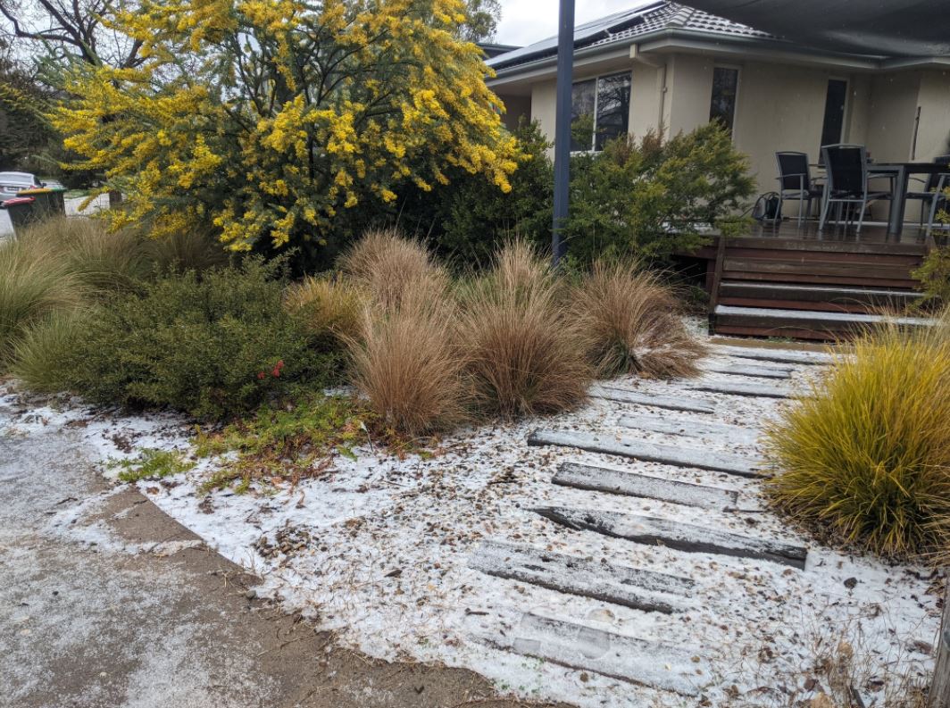
Image: Wattle the weather do in Canberra next? Source: David Osmond.
So what happened with the weather in Canberra this morning?
The northern part of the ACT was sitting directly under a line of convergence between cold southerly winds and northerly winds.
The interaction between these two airmasses caused a near-stationary line of cloud and precipitaion. Some of this precipitation was able to reach the ground frozen, thanks to a cold air mass sitting above the ACT.
Where else is it cold today?
Pretty much everywhere across southeastern Australia, south of about Newcastle, was chilly this morning, and there is the likelihood of light snow showers today down to reasonably low levels (about 800m in Victoria, 900m in Tasmania, 900m in southern NSW and 1100 m on the NSW Central Tablelands).
Here's a pic this morning just east of Jindabyne, at about 1160m above sea level.
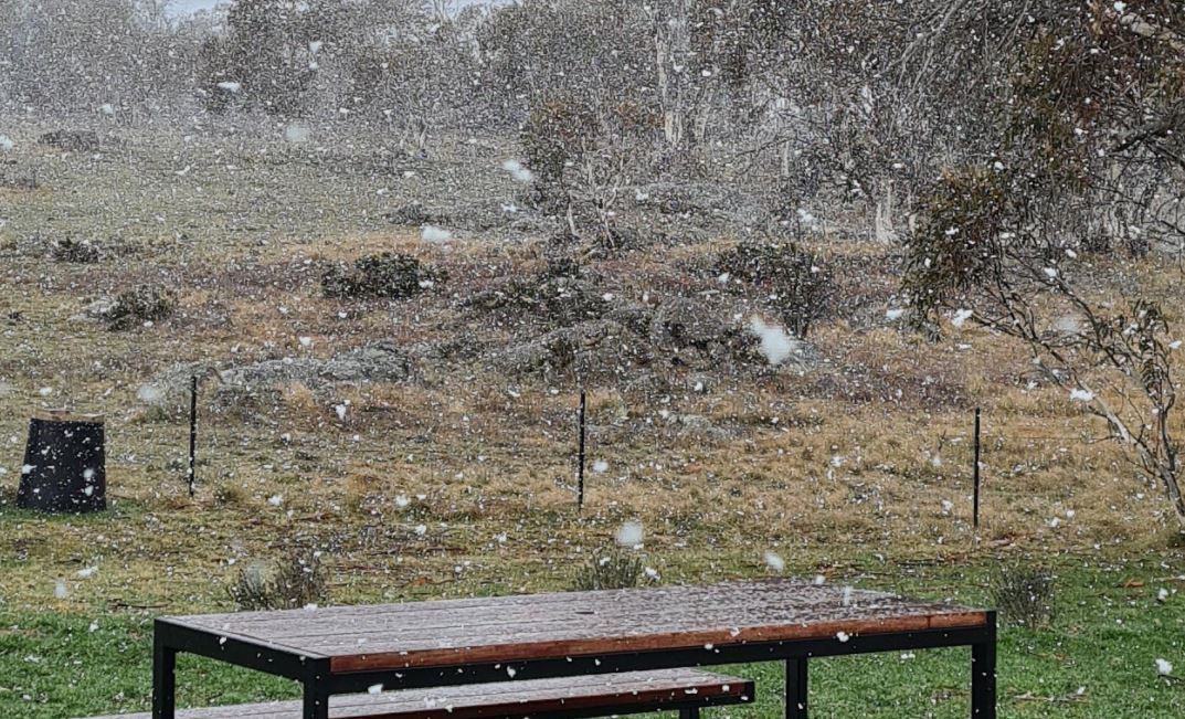
Image: Big fat flakes starting to fall this morning in farmland east of the NSW Snowy Mountains Source: Phil Richmond.
The cold front moved through Victoria and southern NSW yesterday, but Sydney was immune until cool conditions moved through late on Sunday evening, after the hottest weekend since last summer with temps that topping 30°C in the city and 31°C in the western suburbs.
Not a huge amount of moisture was associated with the cold snap, which is why snowfalls totalling only a modest 5cm or so were reported in Tasmania and at the NSW and Victorian skifields.

Image: A nice cold cuppa in Miena, a small town in Tasmania's Central Highlands. Source Katy Morgan (@katypotaty77 on Instagram).
Cool weather should stick around in the southeast for at least the first three days of the working week.