
16-degree temperature difference in Sydney suburbs on Friday: Why?
At 2 pm on Friday, most parts of western Sydney were baking in temperatures of 36 or 37 degrees.
By contrast, it was 25 degrees in coastal suburbs like Bondi, and as cool as 21 degrees at the Bureau of Meteorology's "Sydney Harbour" weather station, located off Georges Head near Mosman.
Why the 16-degree disparity? The sea breeze, right. OK so you knew that.
But how exactly does the sea-breeze effect work to cool down Sydney's eastern fringe, and why is it so common at this time of year?
"Sea breezes occur when the sun heats the ground faster than the nearby ocean. As the air over land warms up, it starts to rise. This causes cooler air from the ocean to rush in and take its place," Weatherzone meteorologist Ben Domensino explains.
"The boundary between this cool sea breeze and the much warmer inland air is called a sea breeze front. In late spring, when the western Pacific Ocean is still quite cool, temperatures can range by around 20 degrees on either side of this boundary. Penrith might be close to 40 degrees while Sydney's eastern suburbs are near 20."

Image: A mixture of storm cloud and hazard reduction burn smoke in northern Sydney. Source: weather guru Tim Bailey (@dailybaileylive) on Twitter.
You can feel the effect of the sea breeze front as you travel west in Sydney.
On a day like this when it's 25 degrees at Bondi, it'll typically be around 30 as soon as you're west of the Harbour Bridge. It then quickly rises to 35 and beyond from about Parramatta onwards as you travel west towards the Blue Mountains.
Spare a thought for forecasters on days like today. Even the best of them sometimes find things tricky when a sea breeze has kicked in.
That's because temperatures can fluctuate wildly when the sea breeze is negated by strong offshore winds (wind coming from the land).
Just this week we saw an example of this. As we wrote on Monday, temperatures rose to 41 in Penrith in Sydney's west, but remained only moderately hot for most of the day at the city's Observatory Hill weather station due to the sea breeze, hovering around 29 or 30.
But later in the afternoon, the temperature jumped by seven degrees in half an hour as the sea breeze weakened, peaking at 36.5. So a very smart forecaster correctly anticipated the late gusty northwesterlies when they predicted a maximum of 36.
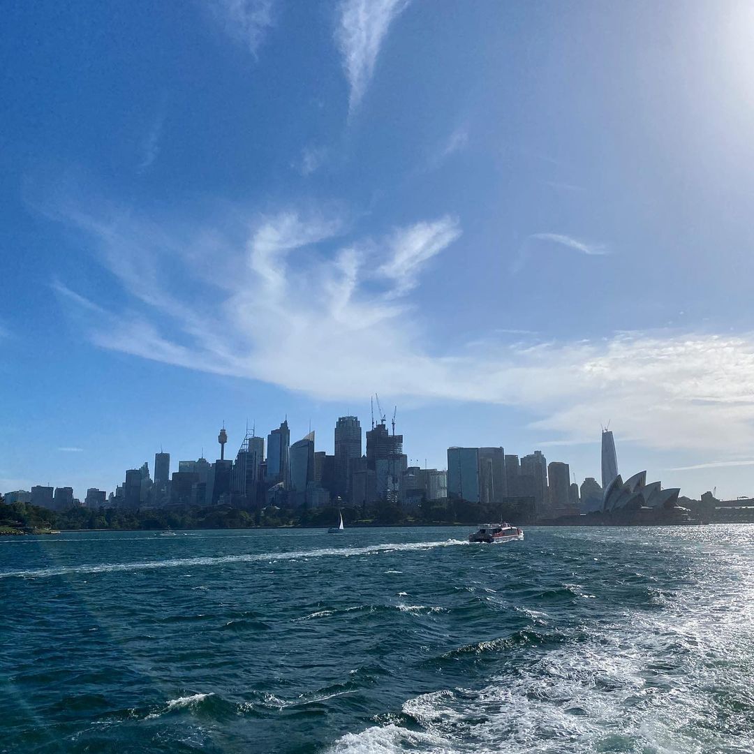
Image: There's really only one place to be on a day like this in Sydney. Source: @lacon_z ImgInn.
As for the coming weekend in Sydney, Saturday should see temps in the mid-to-high 20s across the city, while Sunday could be similar to today, with peaks in the mid-to-high 30s inland, but slightly milder temperatures along the coast.
There is also a chance of showers and a storm on Sunday.