Wild, windy, wintry start to the week
It's a wild one out there across southeastern Australia this Monday, with strong winds lashing the east coast and heavy snow still falling in the mountains.
Just after 10 am, the BoM issued an updated Severe Weather Warning for Damaging Winds for several southeastern NSW forecast districts – including the Illawarra, South Coast, Central Tablelands, Southern Tablelands, Snowy Mountains, and parts of the Sydney Metropolitan area.
As we write this story at 11 am Monday, gusts of 70 km/h or slightly higher have been recorded in southwestern Sydney and the nearby Illawarra area, while even stronger gusts whipped the alpine regions of NSW and Victoria overnight as yet more snow fell in what has been a very productive week for snow lovers.
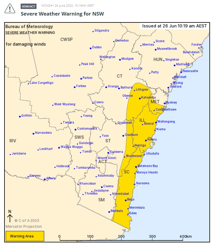
Image: The yellow area shows the warning area, as at 10:19 am Monday. Strong winds can be expected throughout much of the day. Source: BoM.
The current weather system is chilly enough, but it's not super cold. Melbourne is heading for a top of 16°C which isn't too severe for a day of winter westerlies with the odd shower about, while Sydney could get very close to 20°C today although it'll feel a lot cooler with all that air moving about.
But it's still cold enough for widespread snow in the mountains, give or take a little sleety drizzle at the very bottom of some ski lifts. Mt Hotham in Victoria recorded 21 cm of snow overnight, making its tally 66 centimetres of fresh stuff for the week. Most other resorts in both NSW and Vic have recorded similar totals, and more is in throughout Monday.
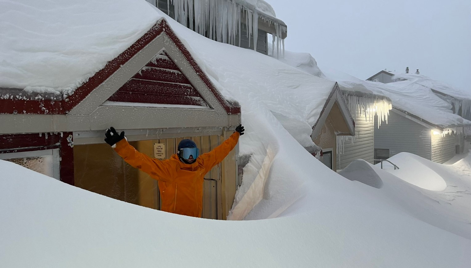
Image: Hours of shovelling is the sort of problem ski folk love to have. Source: Chris Hocking.
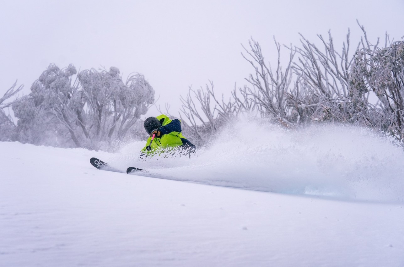
Image: Your work today is more fun than this. This is what you have to tell yourself to get through the day. Source: Chris Hocking.
So while it's all good news up in the snowfields with the NSW and Victorian school holidays upon us, the main current weather story for the country's southeast corner is the wild winds.
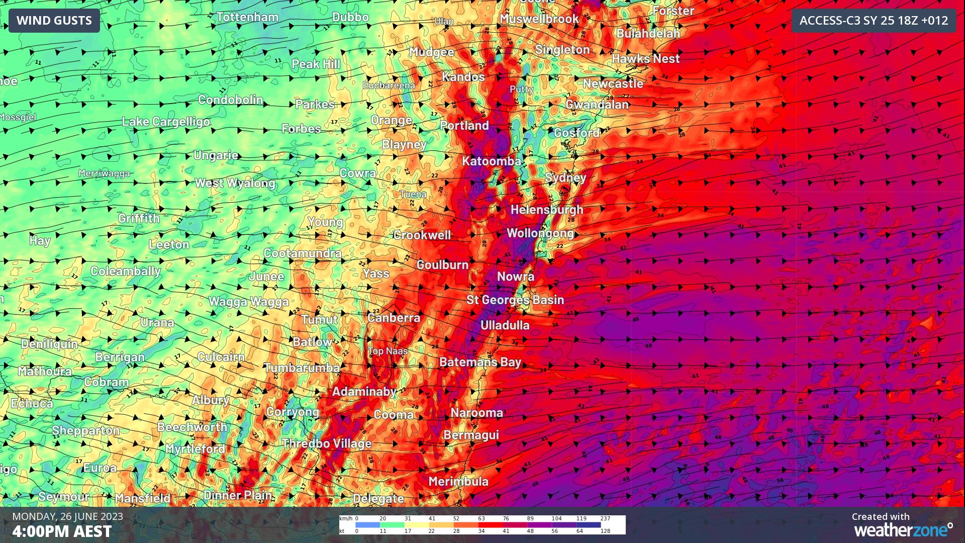
The graphic below shows the predicted strongest gusts for eastern NSW. The dark purple and blue indicate the possibility of gusts reaching 100 km/h or higher, so please be careful of trees and loose material blowing around in exposed areas. Be careful on the roads too, and be sure to keep checking the Weatherzone warnings page for the latest updates.