
Why Sydney awoke to dense fog
Thick fog across the Sydney basin on Tuesday morning has caused ferry services to be delayed or cancelled, flights to be diverted, and created hazardous conditions for motorists across the city as visibility was reduced to as little as 200 metres.
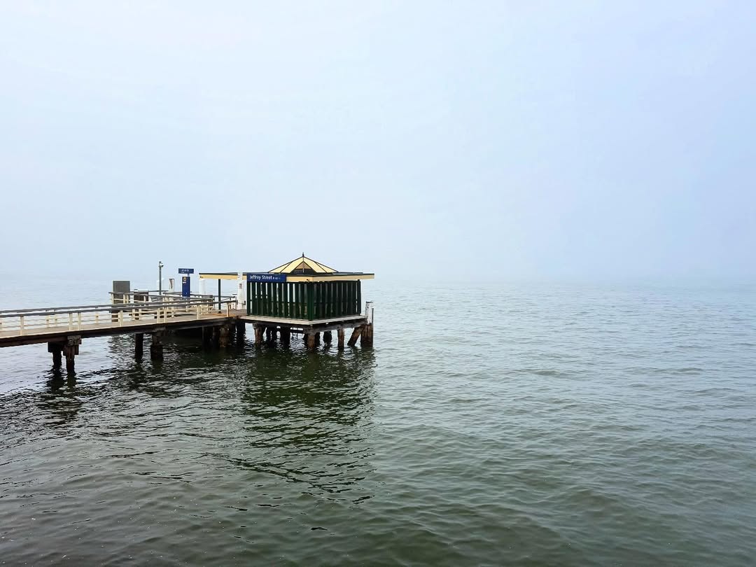
Image: Many Sydney ferry wharves were desolate empty places on Tuesday morning. Source: @nit.stagram on Instagram.
The fog caught many Sydneysiders by surprise and created some spectacular images for those lucky enough to be about 100m or more above ground level.
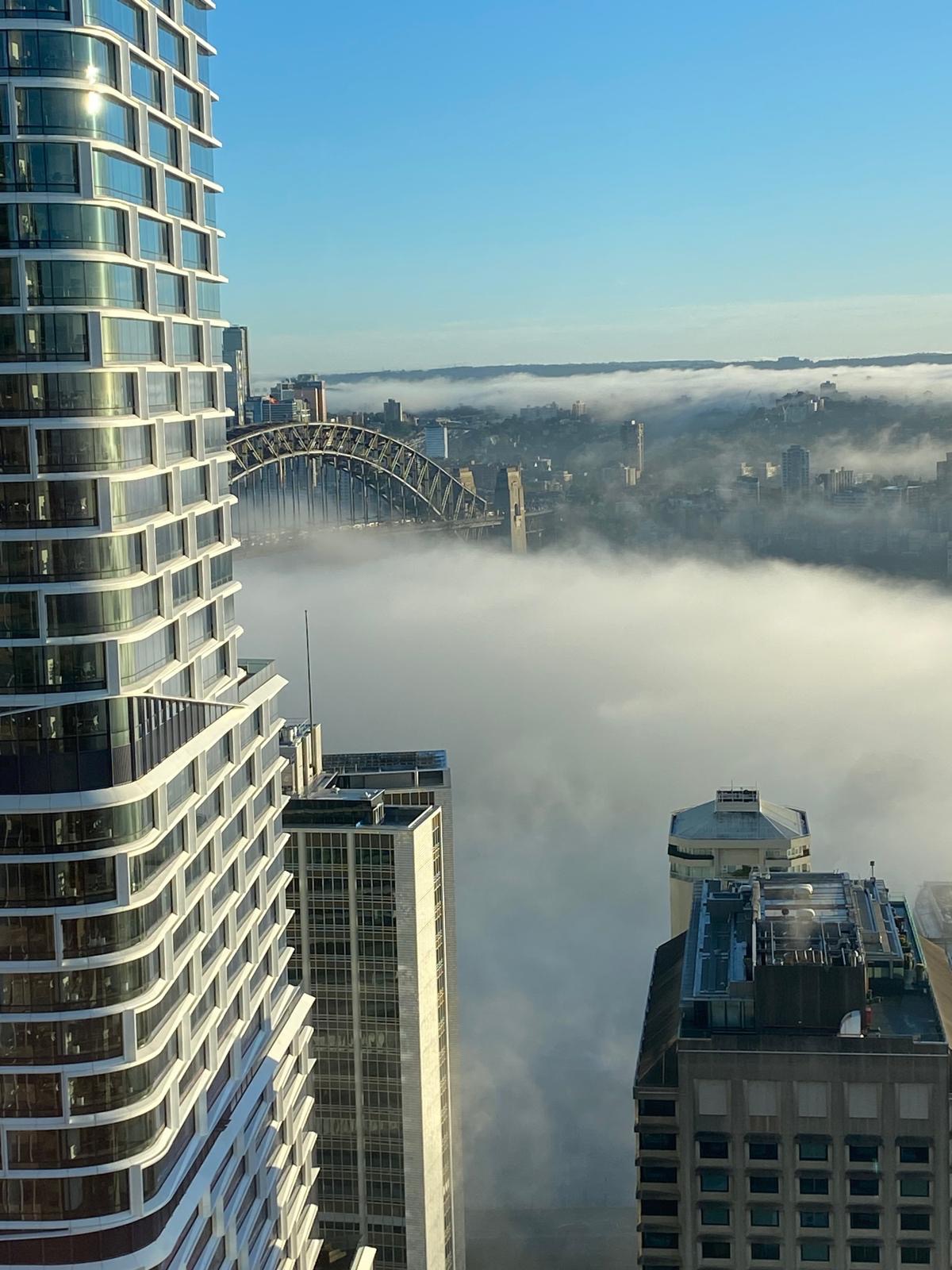
Image: There’s an Opera House down there somewhere. Source: Michael Gabriel.
But why did the fog form?
The first factor contributing to Tuesday morning’s fog was remnant moisture from recent heavy recent rain.
Sydney has received 87.6mm of rainfall to 9am on August 5, with rain recorded each day so far this month. The last two days of July were also very wet, with a total of 57mm. So that’s a super soggy seven-day stretch that delivered 144.6mm.
The second factor that enabled the fog was light winds and associated cooler overnight temperatures. This allowed the temperature to reach its dew point, which is the temperature at which airborne water vapour condenses into small droplets of water.
Under these conditions, the tiny water droplets stayed suspended in the air as fog.
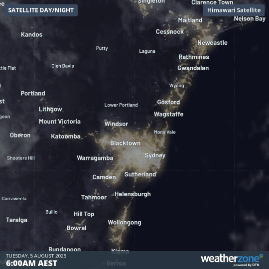
Image: Four-hour satellite loop showing fog rapidly starting to dissipate over Sydney after 9am on Tuesday morning.
As is often the case in fogbound locations, a clear day now lies ahead for Sydney and surrounds. Indeed, it will be both sunny and mild in Sydney this afternoon, with a high of 21°C on the cards – three degrees above the long-term average August maximum of 18°C.
Another fine day is in store for Wednesday under dry westerly winds before winds shift to the south again, ushering in another multi-day burst of showery weather. If it’s any consolation for Sydney folk who are sick of the rain, the showers shouldn’t be quite as relentless as last week.