
Wet October in Tasmania

Parts of eastern Tasmania have received a month's worth of rain in 24 hours, with some parts of the state already having their wettest October in over a decade.
A low pressure system dragging tropical moisture across southeastern Australia has caused heavy rain and damaging winds in parts of Tasmania during the last couple of days.
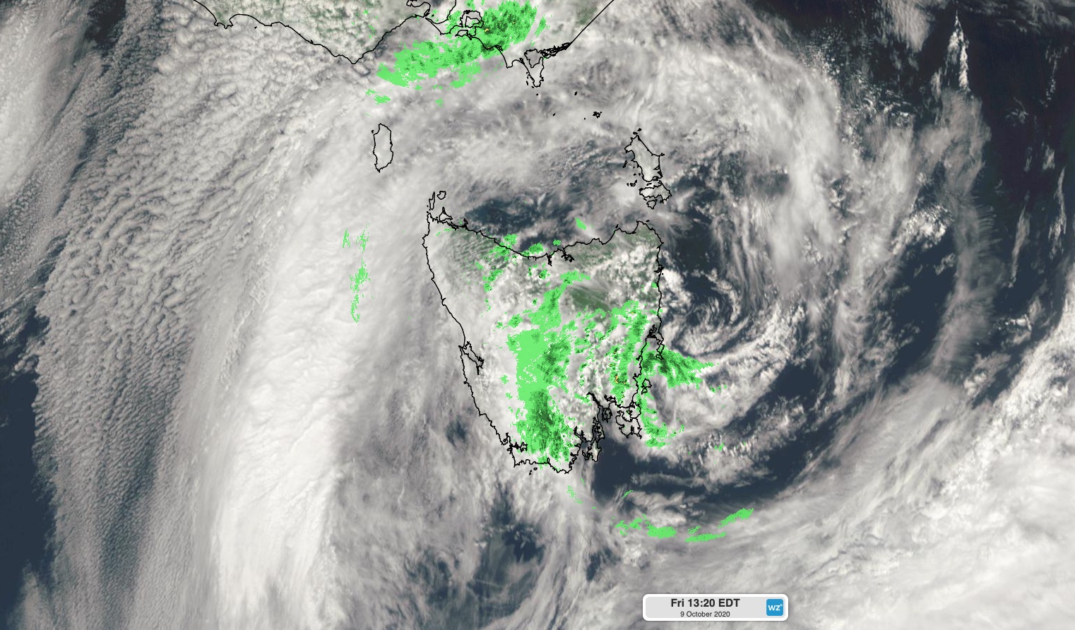
Image: Composite satellite and radar image showing cloud and rain over Tasmania on Friday.
The heaviest falls from this event occurred on the state's east coast, where a rain gauge at Gray received 140mm during the 24 hours to 9am on Friday. Falls of 30-60mm were also widespread in the state's north and east during this time.
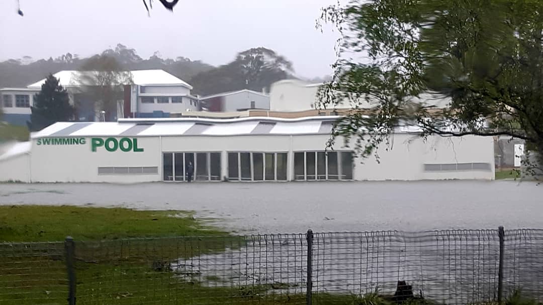
Image: Flooding in St Marys on Thursday. Source: @deegardam / Instagram
The deluge has inundated a number of rivers and caused minor-to-moderate flooding across a number of catchments. There were reports that a bridge had been washed away by floodwaters in the state's east near Orford, cutting off the coastal community of Spring Beach.
Hobart picked up 19mm of rain during the 24 hours to 9am Friday, bringing its running monthly total up to 88mm. This is already the city's wettest October in seven years, less than 10 days into the month.
Further north, Maria Island's 87.6mm so far this month is already the site's highest October total in records dating back to 2004.
Showers will continue across Tasmania on Friday before drier weather returns to most of the state on the weekend.