
Unusually warm night for parts of Victoria
Yesterday, we wrote about the great big high in the sky sitting almost straight over Adelaide, which you can read about here, bringing about clear skies and settled conditions across virtually the entire country. Normally, high pressure would result in chilly nights; however, parts of western VIC saw overnight temperatures hovering 5-7°C above average.
Why was it unusually warm overnight? The answer is the low cloud blanketing the region like a doona overnight. Yesterday, the high was sitting right on top of Adelaide, directing winds in an anticlockwise direction. Winds across VIC were largely W/SW’ly, which for most of southwestern VIC, would be coming off the ocean.
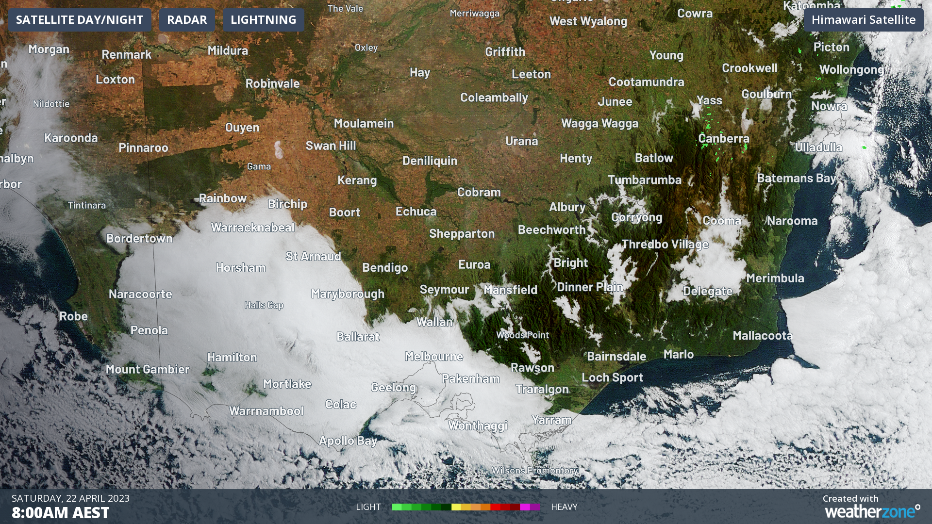
Image: Himawari satellite image at 8am AEST 22nd April
These winds were ladened with moisture, allowing clouds to form over the region which stuck around through the afternoon and persisted overnight. As you can see in the image above, low cloud was still blanketing the region early this morning.
The thick cloud trapped warm and moist air close to the surface, inhibiting the usual overnight cooling effects leading to a very mild morning.
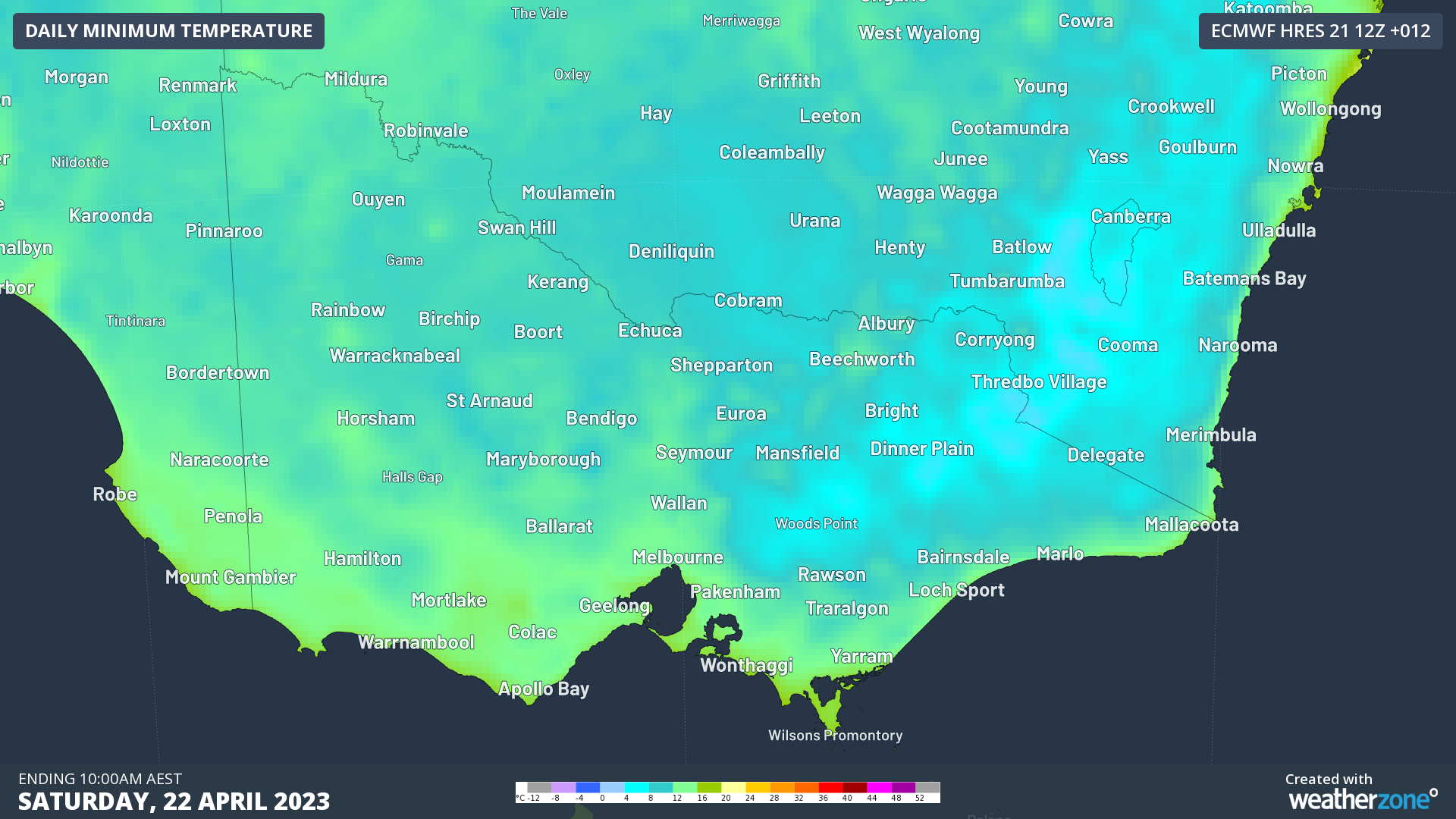
Image: ECMWF model forecast minimum temperatures for April 22nd
Overnight minimums were not much lower than yesterday’s maximum temperatures. Some of the smallest temperature differences were recorded at:
- Horsham Airport: min 14.5°C – down from 18.6°C yesterday
- Longerenong: min 14.4°C - down from 18.3°C
- Westmere: 13.3°C - down from 16.6°C
- Mortlake: 13.5°C - down from 17.3°C
Melbourne also had quite a warm night, dropping to just 14.6°C from a top of 19°C.
Even though it was a warm night, minimum temperatures were not record-breaking for April, not even the warmest for April 2023! In previous warmer nights cloud cover developed ahead of cold fronts and troughs, combining with warmer northerly winds from inland. This contributed to higher temperatures, as opposed to the much more stable high pressure currently dominating.
As the high pressure crawls towards the southeast coast, skies will clear across VIC, leading to some cooler nights early next week. If you haven't already, it could be nearing the time to break out the actual doonas!