
Tropical cyclone looming for WA
A tropical low is forming just south of the island of Timor, and is likely to intensify to a tropical cyclone this weekend.
Forecast models have been signaling the formation of a tropical cyclone, or cyclones, within a monsoon trough north of WA and the NT over the coming days. The models diverged significantly on where and when a tropical cyclone could form, however in the last 24 hours they have generally aligned. A tropical cyclone should form in the Timor Sea by Sunday, possibly by late Saturday, and begin its journey southwest over the North West Shelf.
Strong wind gusts, large waves and rain are all possible for coastal and adjacent inland parts of the Kimberley and Pilbara in the coming few days, with models keeping the system offshore until later next week.
At this stage, the tropical cyclone would be near places like Exmouth around Thursday or Friday next week. Unfortunately, some models do have the system crossing the coast anywhere between about Onslow and Carnarvon, possibly as a severe tropical cyclone.
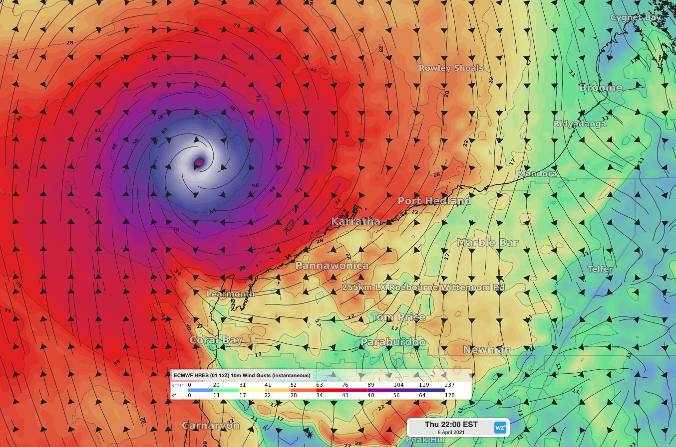 Image: wind gusts using the ECMWF model on Thursday evening (8th), prior to the system moving south.
As with all tropical cyclones, the forecast may change significantly in the coming days, so best to keep a watchful eye on forecasts and warnings. If this possible tropical cyclone is named in Australian waters, it will be called Odette.