
Tornado touches down in NSW amid multi-day severe storm outbreak
A confirmed tornado left a trail of damage near Bathurst in Central West NSW on Thursday afternoon.
The animation below shows an intense thunderstorm passing to the northeast of Bathurst shortly after lunchtime on Thursday.
The small area of pink pixels in the video above is a region of strong reflectivity from the radar, which indicates where the thunderstorm that produced the tornado was located.
The image below, captured by Dean Whiting, shows what this afternoon's tornado looked like from the ground.
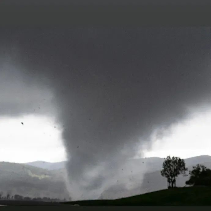
Image: Tornado to the north-northeast of Bathurst, NSW on Thursday afternoon. Source: @dean_o_photography / Instagram
According to the Bureau of Meteorology, there were reports of damage to houses, powerlines and trees around the Clear Creek area, north northeast of Bathurst. The trail of damage from the tornado was initially estimated to stretch for about 25-30 km.
This tornado is part of a prolonged thunderstorm outbreak in eastern Australia, which has been going since Tuesday and is likely to last until Saturday.
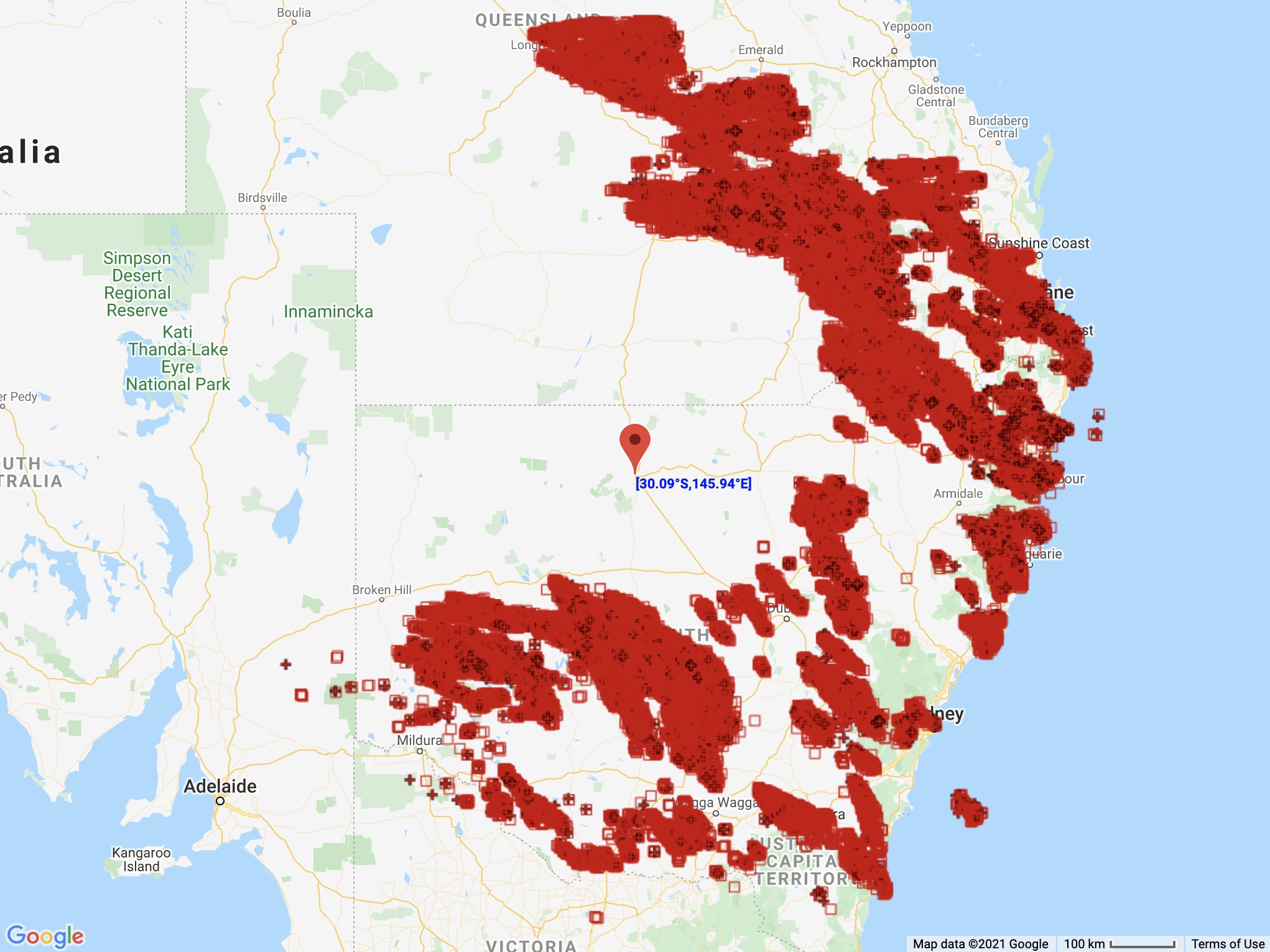
Image: There were 361,401 lightning strikes detected within an 800 km radius of Bourke between 7am and 7pm on Thurday.
More severe storms will occur in eastern Australia on Friday and there is potential for supercells in northeast NSW and southeast Queensland. Supercell thunderstorms can be capable of producing destructive winds and tornadoes.