
Thunderstorm flash flood risk in NSW, Vic and ACT today
Slow-moving thunderstorms will bring an increased risk of flash flooding across a broad area of southeastern Australia today, including parts of NSW, the ACT and Vic.
A moisture-laden air mass interacting with an upper-level trough will create an ideal environment for towering clouds and thunderstorms on Thursday.
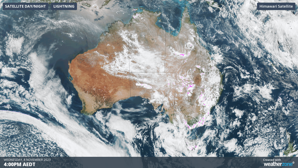
A few large storms were already occurring in northeast Vic and southern NSW as the sun rose on Thursday, highlighting ample instability in the atmosphere. Lightning should become more widespread throughout the day and into the evening as warmer air near the surface further fuels this storm-ripe environment.

Overnight, good falls were recorded in some inland regions of NSW and Victoria that needed a good soaking as showers and storms moved through.
- Albury on the NSW/Vic border had 41 mm, breaking a three-week dry spell going back to October 18
- Braidwood, east of Canberra, had its heaviest daily rainfall in a year with 31.6 mm
- Two stations in Tasmania saw their highest daily rainfall in November for 14 years
The map below shows where rainfall is expected to occur on Thursday. The most likely areas to see thunderstorms will be central and southern NSW (mainly inland), the ACT and northeast Vic, with storms possible in or near Canberra, Sydney and Melbourne. Thunderstorms could also develop over Tasmania on Thursday and while these are less likely to become severe, a few places could see heavy rain.
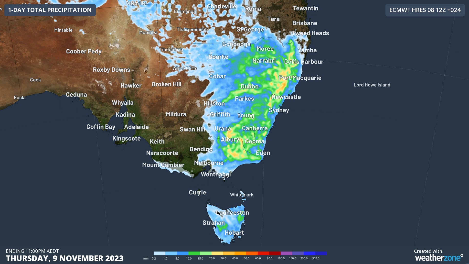
Image: Forecast accumulated rain on Thursday, November 9, according to the ECMWF-HRES moodel.
Any thunderstorms that form in Vic, NSW and the ACT on Thursday will bring an increased risk of flash flooding due to weak steering winds causing the storms to be slow-moving. While heavy rain is the main threat, large hail and damaging winds are also possible.
Thursday’s wet and stormy weather is part of a prolonged storm outbreak that has been affecting eastern Australia since late last week, fuelled by humid easterly winds and a series of low pressure troughs.
Video: Heavy rain and hail in Ballarat, Vic on Tuesday, November 7, 2023. Source: @sktzit_spam / Instagram
More than one million lightning strikes were detected over Qld and NSW on the weekend and by Tuesday, hail and heavy rain were blanketing parts of Victoria. The storms then become more widespread on Wednesday, with lightning occurring over part of every state and territory in the afternoon.
Showers and thunderstorms will continue to occur above several Australian states and territories for the rest of this week and into early next week. Be sure to check the latest warnings in your area for the most up-to-date information.