
Swirling bands of showers and storms across SE Aus
If you check out the weather radar this Tuesday afternoon, you'll see swirling bands of showers and storms circulating between Adelaide, Melbourne and Sydney – and pretty much everywhere in between.
The culprit is a low pressure system currently centred in southern inland NSW, which is directing winds in a clockwise direction across at least three states.
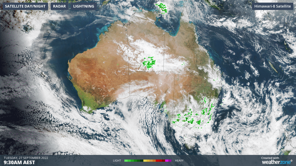
You can see the effect of the low illustrated really clearly on the image above.
The rotation of winds around the low means that east Gippsland in Victoria has winds coming out of the north and northeast, while Melbourne is experiencing southeasterlies and western Vic has winds coming out of the southwest.
Different wind directions, same system.
Showers are also a feature of this system and while most locations in Victoria, SA or southern NSW have only seen a few millimetres since 9 am today, you can expect to see scattered heavier falls at times this afternoon.
For example, as we're writing this story just after 2 pm, Deniliquin in the NSW Riverina has just received 20 mm in the space of an hour.
What sort of weather system is this?
Thickness of the slab of atmosphere between 1000 and 500 hPa highlights the cut-off low that's destabilising skies over south east Australia. Lower thickness values are associated with colder (denser) air masses. pic.twitter.com/aAhXr3OitI
— Andrew Miskelly (@andrewmiskelly) September 27, 2022
Today's weather is a type of low pressure system called a cut-off low. We say that it's "cut-off" because it is separated from the band of low pressure systems which constantly circulate the globe in strong westerly winds at latitudes below the Australian mainland.
Every now and then, a smaller pool of cold air at the edge of this band breaks away and heads north. This vagrant pool often causes a low pressure system to form about five to six kilometres above the ground.
That's a cut-off low, and it's typically quite unstable due to the interaction of cold Southern Ocean air and warmer air over the continent.
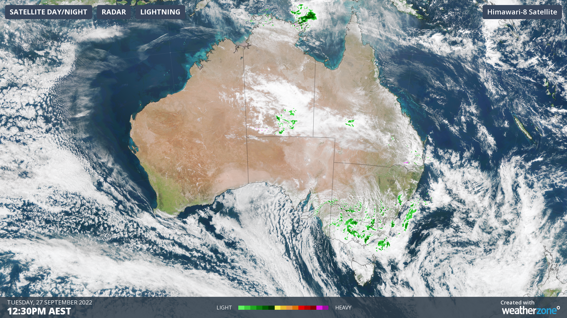
Meanwhile, this system should continue to impact southeastern Australia for the next day or two, and the precise location of heavy showers in inland areas will be difficult to predict.
We can, however, state with confidence that the heaviest rain over the next few days will be along the NSW coastline from Sydney southwards, as well as in eastern Victoria, as the low drifts to the northeast, and moisture-laden winds stream onto the coast and nearby ranges and tablelands from the south and southeast.