
Sunny spell set to turn soggy in Australian Alps
Things could be worse in the Australian snowfields, but they could also be a whole lot better.
While the snowpack up high still has a reasonable depth, the surface has been hard and icy for several weeks on most slopes due to warm days, cold nights, and a lack of significant fresh top-ups.
Lower down, the cover has thinned drastically, with Australia's two lowest mainland ski resorts in terms of peak elevation – Mt Baw Baw (Vic) and Selwyn Snow Resort (NSW) – reduced to just one or two lifts for beginners only.
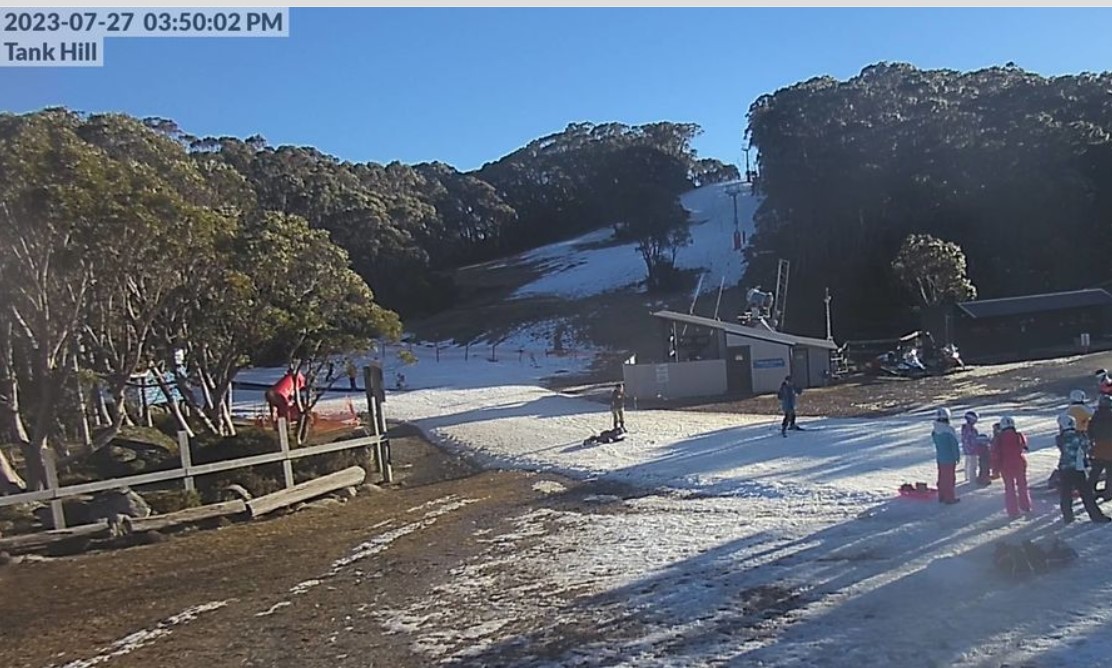
Image: Baw Baw's limted snowmaking can't quite cover the large grass patches. Source: ski.com.au.
So when will the next big snowfall arrive?
Regrettably for snow lovers and the snow industry as a whole, probably not in the next week.
While cold fronts have been reasonably active in the Australian region, they are tending to peak too far west of the Australian Alps before sliding south of the mainland. That's why Perth is having a wettish winter to date in 2023.
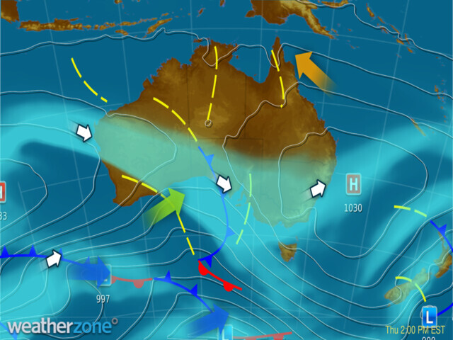
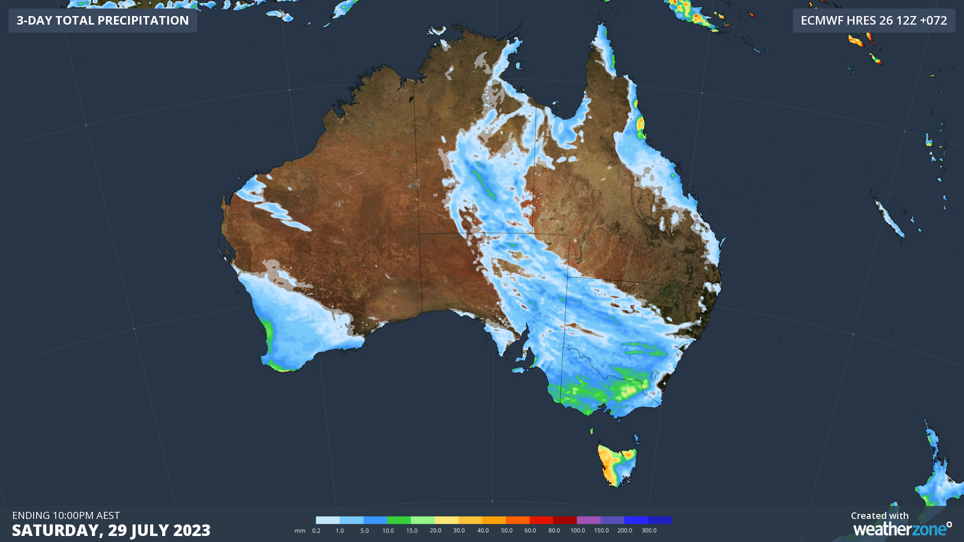
The synoptic chart above from this Thursday, July 27, depicts that pattern well. The front peaking in the Great Australian Bight will deliver moisture to eastern Australia as it moves east, as you can see in the three-day accumulated precipitation map below.
But whether it delivers snow rather than rain to the Alps is another story.
When fronts peak too far west, they tend to drag relatively warm air from Central Australia southwards in a northwesterly airflow. That means snow at only the highest elevations of our high country, with rain on most slopes.
We may yet get lucky this weekend but don't count on it. Indeed we could see significant damage to the snowpack at all resorts before a slightly cooler front due Monday does some minor damage repair.
Looking further ahead, there appears to be a colder outbreak brewing towards the end of next week, but whether it is accompanied by enough moisture for significant snowfalls remains to be seen.
As ever, click on the links for for the latest ski conditions at Thredbo, Perisher, Charlotte Pass, Selwyn (NSW) and Mt Buller, Hotham, Falls Creek and Mt Baw Baw (Vic), and stay glued to our snow page for the latest conditions, forecasts, live cam images and more.