
Summer shows up in Adelaide as SA bakes
Hot air and dust are sweeping across South Australia today, allowing temperatures and fire danger ratings to soar.
A surge of dry inland heat is being transported across the state today by blustery northerly winds, which have developed ahead of an approaching cold front.
While this weather pattern is typical at this time of year, it's producing some of the warmest weather in 10 months.
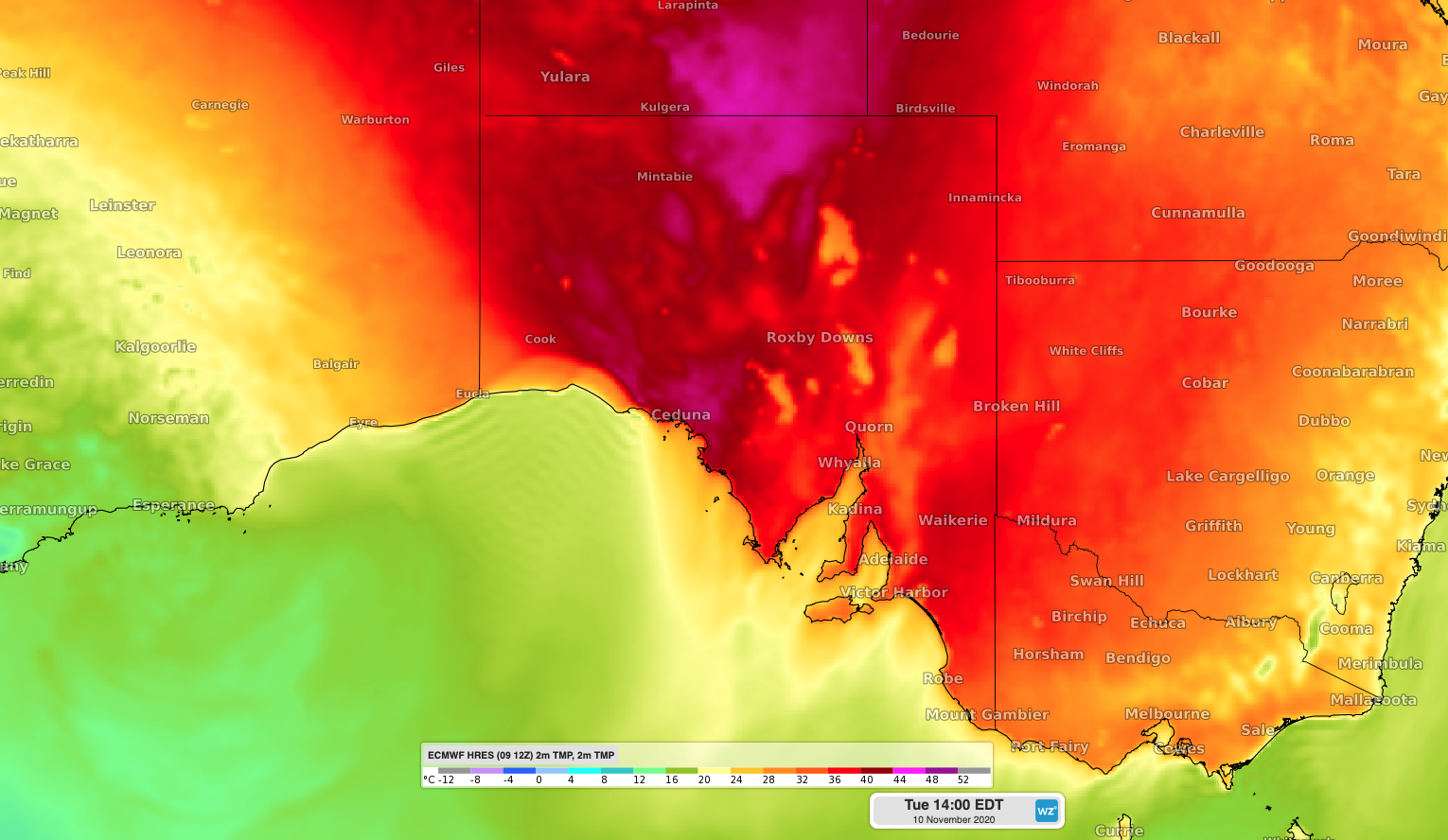
Image: Forecast surface temperatures over South Australia on Tuedsay afternoon, according to the ECMWF model.
Adelaide had already reached 37.0ºC by midday, which was its warmest day since mid-January. It's also the 5th highest temperature to be recorded so far this year at the city's West Terrace weather station.
Further inland, Tarcoola had already hit 41.1ºC by midday, which was the state's 3rd highest temperature so far this spring.
Tuesday's heat is combining with gusty winds and dry air to lift fire danger ratings across the state. Parts of the West Coast and North West Pastoral districts were experiencing Extreme-to-Catastrophic fire danger ratings in the middle of Tuesday, thanks to wind gusts above 70km/h, relative humidity close to 10 percent and temperatures over 40ºC.
These dry northerly winds have also been causing areas of raised dust. As the sun rose this morning, satellite images showed a large cloud of dust being blown from South Australia over the Great Australian Bight.
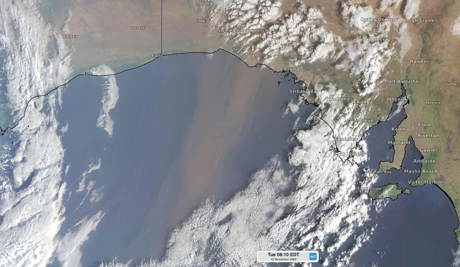
Image: A streak of airborne dust blowing over the Great Australian Bight on Tuesday morning.
As of midday, a severe weather warning and a fire weather warning were in place for parts of SA. With showers and thunderstorms expected to develop later in the day, severe thunderstorm warnings are likely to be issued as well.