
Storms electrify Sydney, bringing Campbelltown Carols to a grinding halt
An active trough brought severe thunderstorms to Sydney and surrounds last night, with some areas in the region’s southwest and into the Wollondilly area receiving some significant rainfall. 37.2mm of rain fell in just 20 minutes at Campbelltown, causing the Campbelltown Christmas Carols 2023 event to end prematurely as carolers were evacuated from Campbelltown Sports Stadium. The storm also brought 22.2mm in 30 minutes at Holsworthy, while Picton and Kentlyn also reported 24-hr rainfall totals of 27.5mm and 27mm respectively, largely as a result of these storms.
The particular thunderstorm which caused so much havoc in Sydney’s southwest began near Bargo shortly before 7:30pm, circled below in orange, as part of a larger storm band stretching down into the south coast.
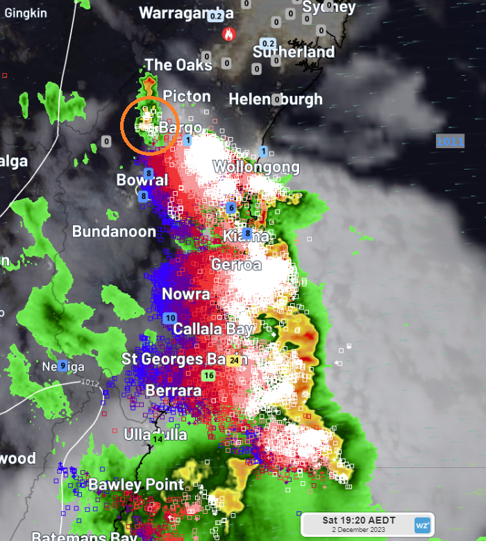
Image: The storm band marching up the NSW south coast last night, with the developing cell near Bargo circled in Orange
As the whole storm band tracked northeast, it marched through the Wollondilly region, into Sydney’s southwest and then up into Sydney’s northern suburbs by late evening, generating approximately 80,500 lightning strikes within a 75km radius of Campbelltown and dumping some very localised heavy rainfall in Minto (south of Ingleburn) and near Leppington (south of Austral), as seen in the image below. This meteorologist also witnessed hailstones ranging between 1cm and 4cm in size in Glen Alpine, approximately 4km southwest of Campbelltown.
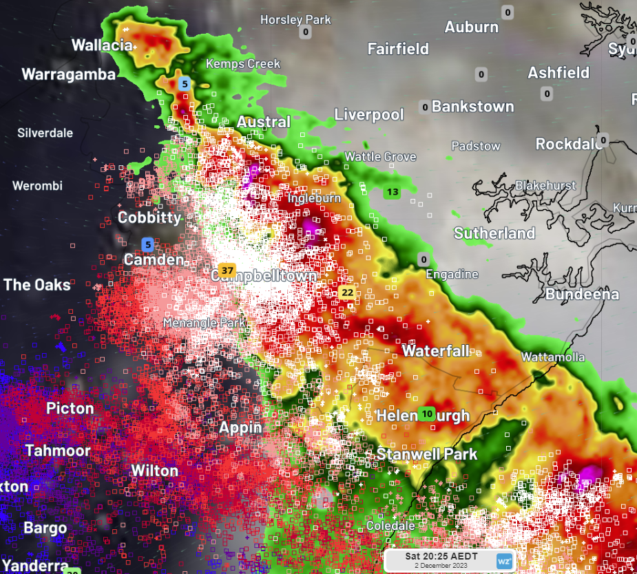 Image: Radar, lightning and rainfall data in Sydney’s southwest last night
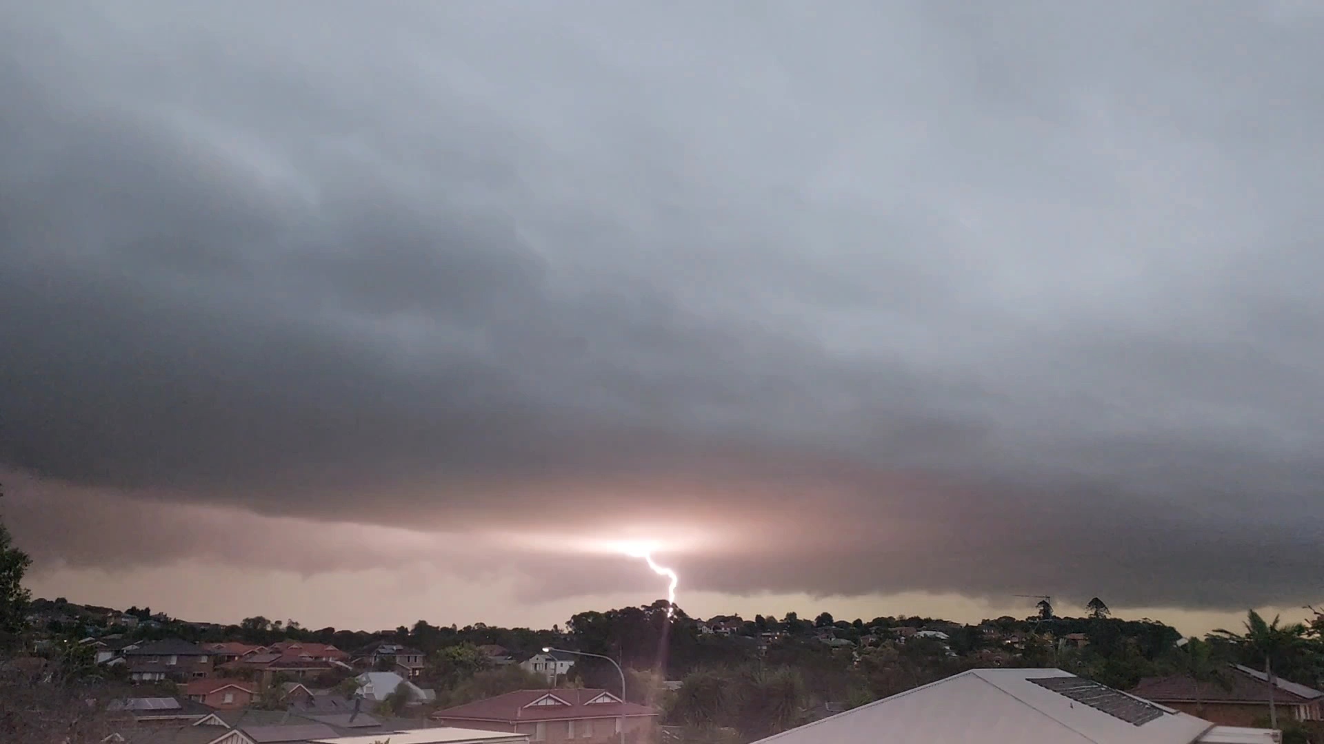 Image: Lightning strike near Glen Alpine, NSW, taken by Weatherzone meteorologist Corine Brown.
Thunderstorms have been springing up again this afternoon along the NSW east coast and ranges and will continue into this evening. Although more isolated than the storm activity we saw yesterday, some storm cells do have the potential for large hail and heavy rainfall, which could produce some localised damaging winds. Keep an eye on all the latest warnings at weatherzone.com.au