
Southerly busts Sydney's record March warm spell
A southerly change that blew into town around 3 pm will put a stop to a record spell of nine consecutive Sydney March days with max temps of 28°C or higher, which helped make Sydney's warmest start to March in 109 years.
The mercury at Sydney's Observatory Hill weather station reached 32°C at 1 pm on Thursday and hovered in the low 30s until just before 3 pm, when the temperature dropped rapidly by several degrees as the southerly kicked in.
Sydney top temps will now reach only 25°C or 26°C until at least Monday – much closer to the March average max of 24.8°C – under the influence of south to southeasterly winds and occasional showers.
READ MORE: Water near Sydney warm enough to support a tropical cyclone
This has been an unusual start to autumn for Sydney, as for most locations on the NSW coast. Indeed it has been the 2nd-hottest start to the season in 160 years of records with an average max of 28.7°C over the first two weeks.
- What's remarkable is that there have been no extremely hot days skewing the figure, with only one day (today’s 32°C) exceeding 31°C.
- Back in 1915, when Sydney had its hottest first two weeks of March on record, that fortnight included days with maximums of 37°C, 35°C, 38°C, and 36°C.
- This March has been very different in Sydney, with no extremely hot days but a pattern of consistent warmth.
- Sydney has also been very dry to date in March with just 2 mm of rain recorded. The full monthly average for March is 135.6 mm.
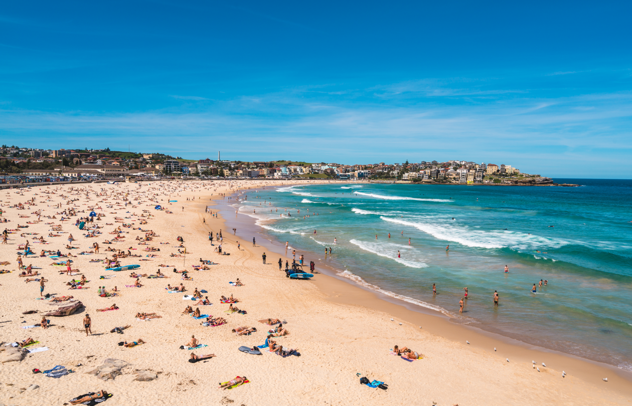
Image: No more sunbathing for a few days, sorry Sydney. Source: iStock.
We should also give Canberra a mention in this story, as the national capital has also sweltered through March 2024 to date.
Over the first two weeks of the month, Canberra has averaged 30°C – a whopping 5°C above the long-term March average max.
Like Sydney, Canberra has seen no dramatic heat spikes over that period, with consistent warmth punctuated by a hottest day of 34.5°C. Also like Sydney, Canberra can expect several days of cooler weather from Friday onwards, which will be a welcome relief to most locals.
The main culprit for the warm spell that has affected Sydney, Canberra, and much of the southeast, has been a blocking upper level high pressure system – the same system we wrote about earlier in the week which helped drag tropical moisture all the way down to southern WA, causing flooding there.
At long last, we are seeing a shift in the pattern, with moist easterlies beginning to affect the whole east coast of the continent as a high pressure system becomes centred over the Tasman Sea by the end of the weekend.