
Southeast to soak up late heat before the cold
In the southeast of Australia places are experiencing what might be their last hot day for a while as the months become colder.
A low-pressure trough ahead of a frontal system is generating northerly winds which are drawing a warm airmass into the southeast.
Friday was generally 5-7 degrees warmer than the late April average for much of South Australia and Victoria. This meant that some late season heat records were challenged. It was the warmest day this late in South Australia for:
- 8 years in Snowtown (28.1 degrees), Mt Gambier (25.3 degrees), Naracoorte (26.5 degrees) and Noarlunga (25.6 degrees)
- 6 years in Adelaide (26.8 degrees)
Similarly, it was the warmest day this late in Victoria for:
- 14 years at Mt Baw Baw (15.1 degrees)
- 8 years at Hamilton (23.7 degrees), Warrnambool (24.9 degrees), Portland (23.8 degrees) and Nhill (25.9 degrees)
- 5 years at Melbourne (24.4 degrees)
What is even more impressive is that these temperatures should be replicated and even topped on Saturday. Adelaide is forecast to reach 28 degrees which would beat out Friday's maximum. Melbourne is forecast to reach 24 degrees on both days this weekend, also giving it every opportunity to top the maximum from Friday.
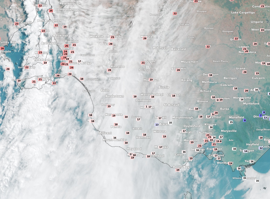 Image: Satellite (Himawari-8) imagery at 10am EST Saturday with observed temperature overlay
The frontal system following behind the trough should make temperatures feel much closer to what is expected around this time of year. The strong southwesterly winds generated by the passing of the front should also make it feel colder as well, so it may be these locations last chance to soak up this heat for a while.