
Snowy start to winter
A burst of cold air passing over southeastern Australia on Monday brought fresh snow to parts of Victoria and NSW on the first day of winter.
Snow was falling at Falls Creek, Mount Hotham, Mount Buller, Thredbo and Perisher on Monday as the pool of cold Southern Ocean air passed over the mainland alps. This timely snowstorm gave most ski resorts a picturesque start to winter, with fresh flakes turning the landscape white.
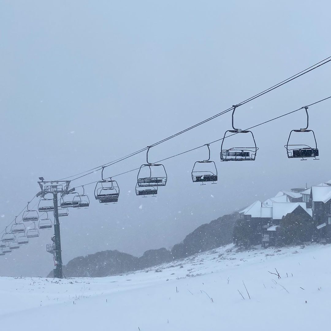
Image: Snow at Mount Hotham on Monday. Image: Hotham Alpine Resort
Monday's cold weather and snow is sure to get Australia's skiers and snowboarders excited for the upcoming season, despite the disruptions being caused by COVID-19 this year.
Looking ahead, the cold air mass will continue to spread north during the next 12-24 hours, causing temperatures to drop over NSW and southern Queensland.
Temperatures are likely to get low enough for snow to fall in elevated areas of central NSW and possibly even northern NSW on Monday night and Tuesday morning.