
Snowy end to autumn transforms Australia's ski resorts

Australia's alps are being covered with fresh snow just two weeks out from the start of the 2019 ski season.
Snow started falling on the mainland alps on the weekend as cold air pushed across southeastern Australia, behind a cold front. This dusting was followed by heavier snow on Sunday night as another, stronger cold front barreled over the alps.
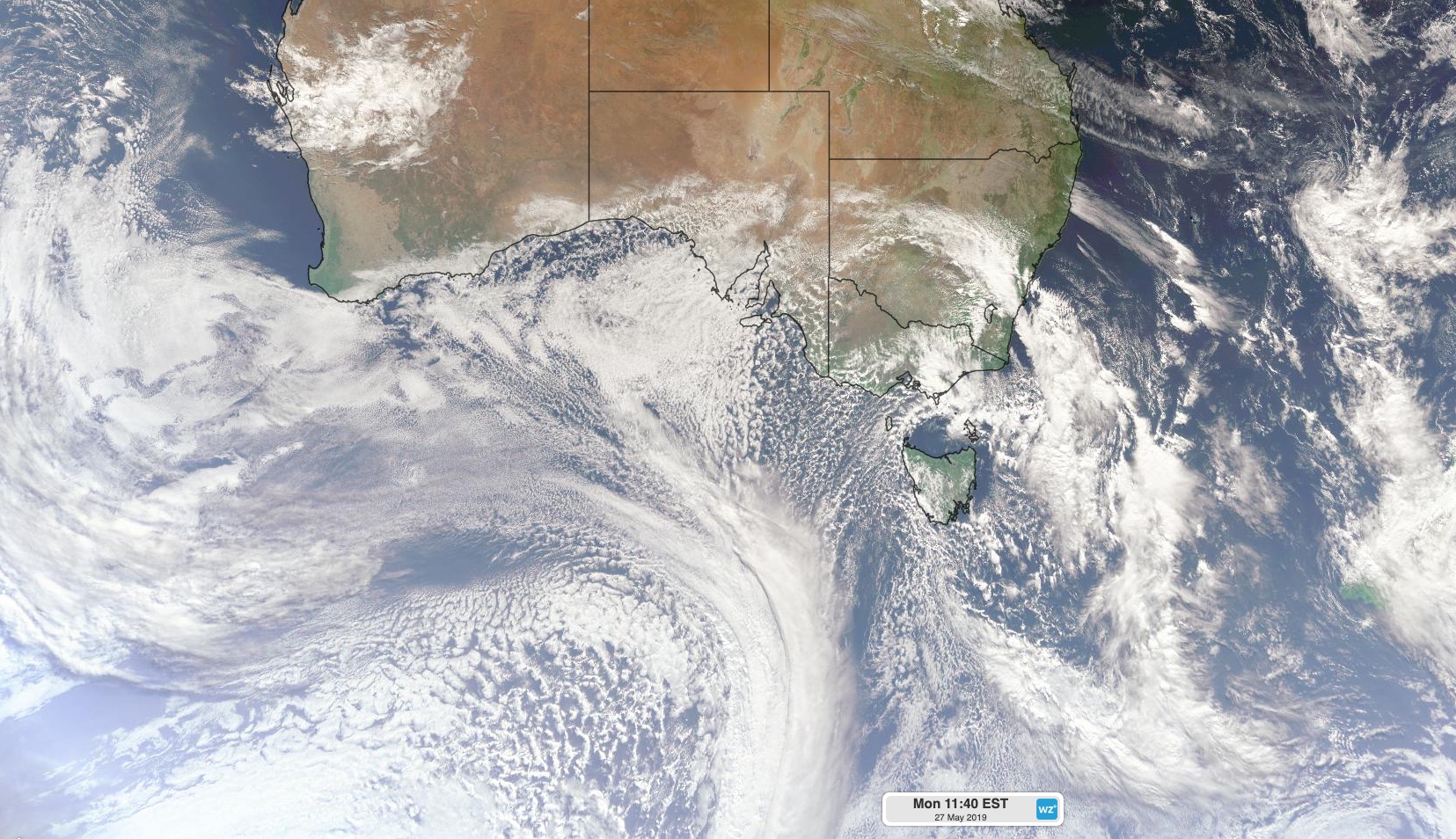
Image: Satellite image showing a cold front crossing southeastern Australia on Monday morning, with another front approaching Australia from the Southern Ocean.
By 9am on Monday, parts of the alps had received 15-25cm of fresh snow. The temperature plunged to minus five degrees at Thredbo Top Station, Mount Buller and Falls Creek on Monday morning, allowing the settling snow to stay soft and thick.
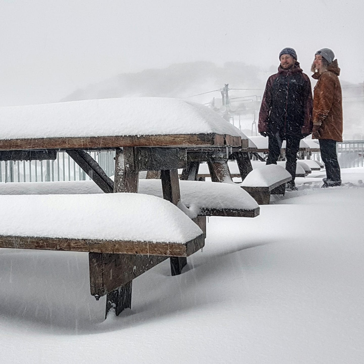
Image: Mount Hotham on Monday morning. Image: Hotham Alpine Resort
Monday's snow will taper off by the afternoon and the most recent cold front heads out into the Tasman Sea. However, another front is already on the horizon.
The next surge of cold air moving up from the Southern Ocean will reach the mainland alps on Tuesday night. Snow is likely to fall in the alps ahead of, with, and behind this strong frontal system.
Some parts of the alpine region are likely to see another 20-40cm of snow between Tuesday and Friday on top of what's already on the ground, possibly more about the peaks and in the backcountry.
Snow will ease over the alps on Thursday and drier weather should return by the weekend. However, resorts with snowmaking guns will be able to capitalise on sub-freezing nights at the end of the week to add some artificial snow to natural base.
In addition to the alpine snow, other elevated areas in NSW, Victoria and Tasmania could see some flakes this week.
There were reports of snow falling on higher parts of the Oberon Plateau late on Monday morning as the cold front reached central NSW.
The next front could bring air cold enough to produce snow below 1,000 metres above sea level in central NSW on Wednesday or Thursday. Further south, snow could reach down to 600m in Victoria and 500 metres in Tasmania during the middle of the week.