
SNOWVEMBER! Mountains coated in white two weeks out from summer
A strong cold front has lashed southeastern Australia, bringing strong winds, cold temperatures, hail, rain and yes, even snow to the mountains.
Weatherzone meteorologist Chris Matthews told us yesterday that a dusting of snow had sprinkled the ground, but that dusting has turned into a "dump", with locals reporting around 20 cm up high and 10 cm or thereabouts down in the valleys in places like Thredbo Village.
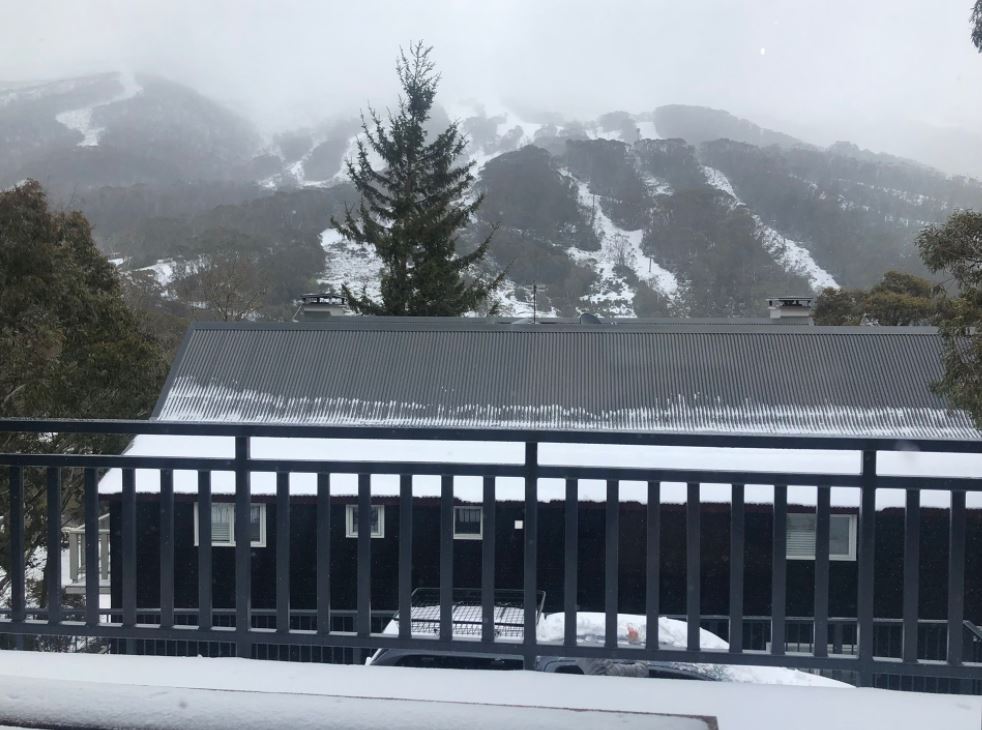
Image: Thredbo on November 15, 2021, five days before mountain bike season, not ski season! Source: Simone Griffin.
Snow is, of course, far from unknown in the Australian High country in late spring or even in the summer months, as Southern Ocean cold fronts can push northwards in any season. But it's far less likely at this time of year, and especially in this quantity.
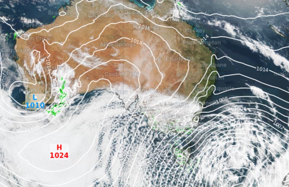
But if you take a look at the current satellite image overlayed with the synoptic chart, you can see the cold southerly flow at work, with the tell-tale speckle cloud that usually accompanies a strong cold front.
As you'd expect, temps were frigid across the Australian Alps, and when you factor in the wind chill, the apparent temperature (effectively what it feels like to be outside factoring in air temp, relative humidity and wind speed) some of the readings were pretty extreme, and still are.
For example, as we write this at 10:30 am on Monday morning (AEDT):
- Thredbo top station (NSW, elevation 1957m) was sitting on -4.3°C with wind gusts approaching 100 km/h and an apparent temp of -20.1°C
- Perisher Valley (NSW, elevation 1720m) was -2.0°C with gusts around 80 km/h and an apparent temp of -13°C.
- Mt Buller (Vic, elevation 1707m) was sitting on -3.5°C with gusts around 50 km/h and an apparent temp of -11.7°C.
- Several minimum temp records appear to have been broken in Tasmania, and Hobart's low of 2.9°C was its coldest November reading since 1953.
Unsurprisingly with such cold temperatures, the snow level in Tasmania was low for any season, let alone November. This was the scene at Mountain River near Hobart, at an elevation of just 360m.
Morning!! Spring is a mess pic.twitter.com/EsemYnGWK3
— Dr SWIFT PARROT (@teamswiftparrot) November 14, 2021
The mountain weather should start to clear tomorrow in Tasmania and on the mainland. That’s good news for hikers like Simone Griffin, who is currently undertaking the Australian Alps Walking Track (a 670 km trek from the ACT to southern Victoria) who is currently holed up in Thredbo waiting for the snow to melt. The pics of Thredbo village in this story are hers.
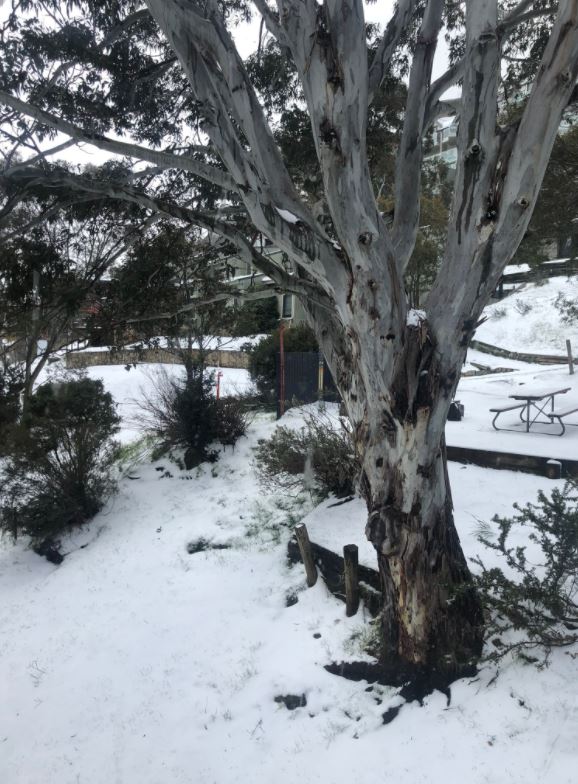
Image: They don't call then snow gums for no reason: Source: Simone Griffin.
Meanwhile the strong winds that have lashed Tasmania, Victoria and southern NSW should start to ease across inland areas today, although parts of the NSW coast, including Sydney, have gale warnings in force today, and strong wind warnings in place for Tuesday.
Aside from the strong winds, the southeast will stay cool and mainly dry for the first part of this week, before warmer unstable weather arrives around Thursday.