
Snow reaches northern NSW
Snow has fallen in central and northern NSW during the last 24 hours following the first cold front of winter.
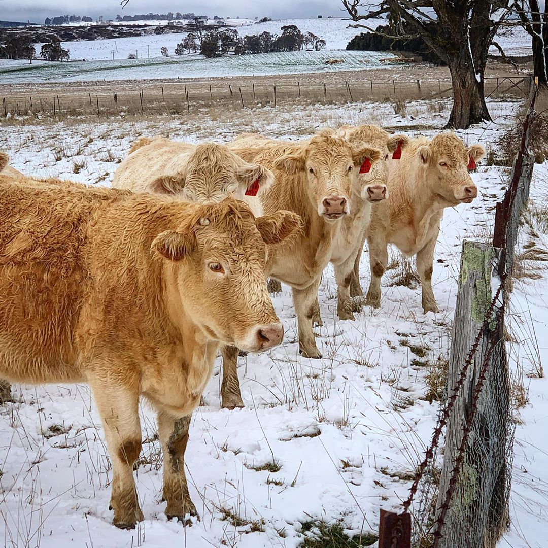
Image: Snow in Oberon on Monday, June 1st. Source: @mitch_photography22 / Instagram
A cold pool of air passing over southeastern Australia on Monday and Tuesday has caused a wintry mix of rain, hail and snow in multiple states and territories.
As winter officially kicked off in Australia on Monday, fresh snowflakes were falling over the alps in NSW and Victoria. By Tuesday morning, some ski resorts had picked up around 10-15cm of new snow, making for a picturesque start to the season.
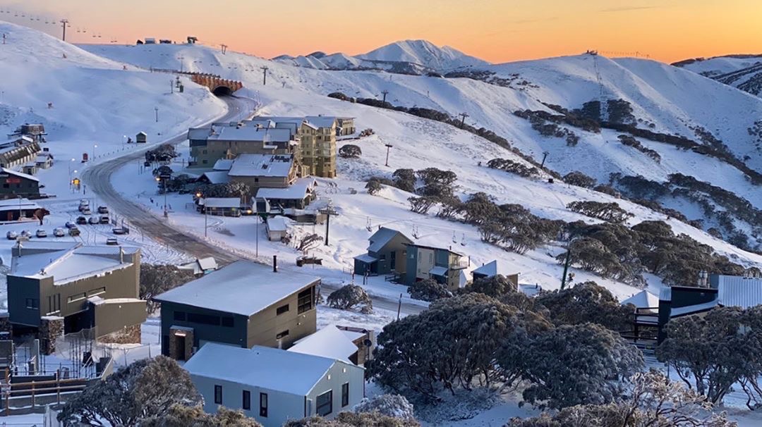
Image: A wintry scene at Mount Hotham on Tuesday morning. Source: @hockster111 / Hotham Alpine Resort
It was also cold enough for snow in other parts of southern NSW and the ACT. A weather station at Mount Ginini in the Brindabella Ranges was recording temperatures below zero degrees with frequent precipitation during Monday afternoon and night.
As the cold air spread further north, temperatures got low enough for snow to start falling on high ground in the Central Tablelands of NSW from Monday evening and parts of the Northern Tablelands by Tuesday morning. Places around Oberon, Armidale and Uralla saw some early winter snow from this system.
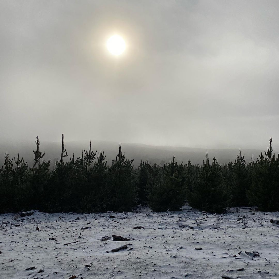
Image: Snow at Shooters Hill in central NSW on Tuesday morning. Source: @bluemountainsmaid6 / Instagram
A warning has been issued for sheep graziers across most of NSW, with cold temperatures, showers and blustery wind likely to threaten some livestock on Tuesday and Wednesday.