
Snow possible in northern NSW tonight
Light snow could fall in parts of northern NSW on Monday night and Tuesday morning, as a pool of cold air spreads across the state.
A large mass of cold air will pass over NSW during Monday and Tuesday in the wake of a front. This wintry air is being driven north by a complex low pressure system, allowing it to spread across the entire state.
Forecast models suggest that it could get cold enough for snow to reach about 1000-1100 metres elevation in southern and central NSW on Monday and Tuesday. Light snow flurries are also possible down to about 1100-1200 metres elevation on the Northern Tablelands late on Monday and into Tuesday morning.
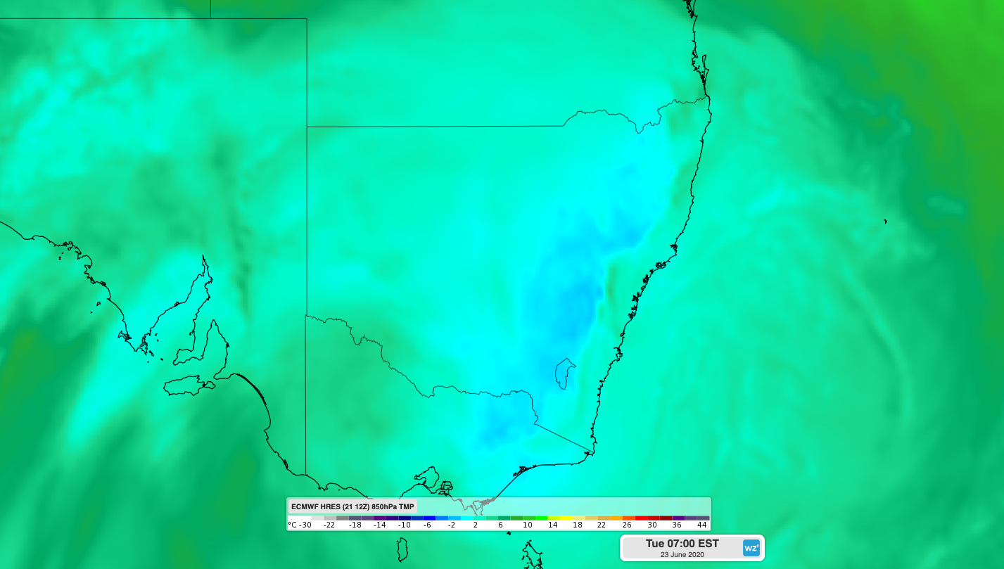
Image: Cold air at the 850hPa level (around 1,500m elevation) over NSW on Tuesday morning.
While there is a chance that this system will cause snow well outside the alps during the next couple of days, it's unlikely to cause widespread heavy snow, simply because there isn't enough moisture in the atmosphere.
Fortunately, this pulse of cold air has brought a bit of fresh snow to the alps. Some ski resorts have already picked up around 10-15cm of fresh snow between Saturday and Monday, adding much-needed cover for the opening week of their season. The injection of cold air has also allowed snow-making machines to pump out lots of artificial snow, helping to top up the natural base on the slopes.
Looking ahead, this snowmaking will continue in the alps during the final week of June, with cold nights and dry days on the cards in the absence of any strong cold fronts.