
Snow piling up as icy blast hits Australia's southeast
Australia's alps have been transformed by a fresh layer of thick snow during the last two days as a pulse of freezing weather hits southeastern Australia.
Snow started settling on Australia's highest mountains on Wednesday night. By Friday morning, a large area of the alps was under snow and some ski resorts had picked up more than 30cm of fresh cover.
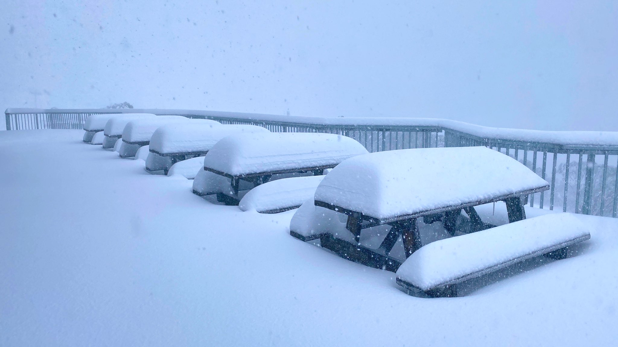
Image: Snow at Mount Hotham, Vic on Friday. Source: Hotham Alpine Resort.
Snow was also falling in Tasmania and parts of central western NSW on Friday. Diving temperatures produced a mix of rain and sleet in the Blue Mountains, with reports of light snow flurries in some areas.
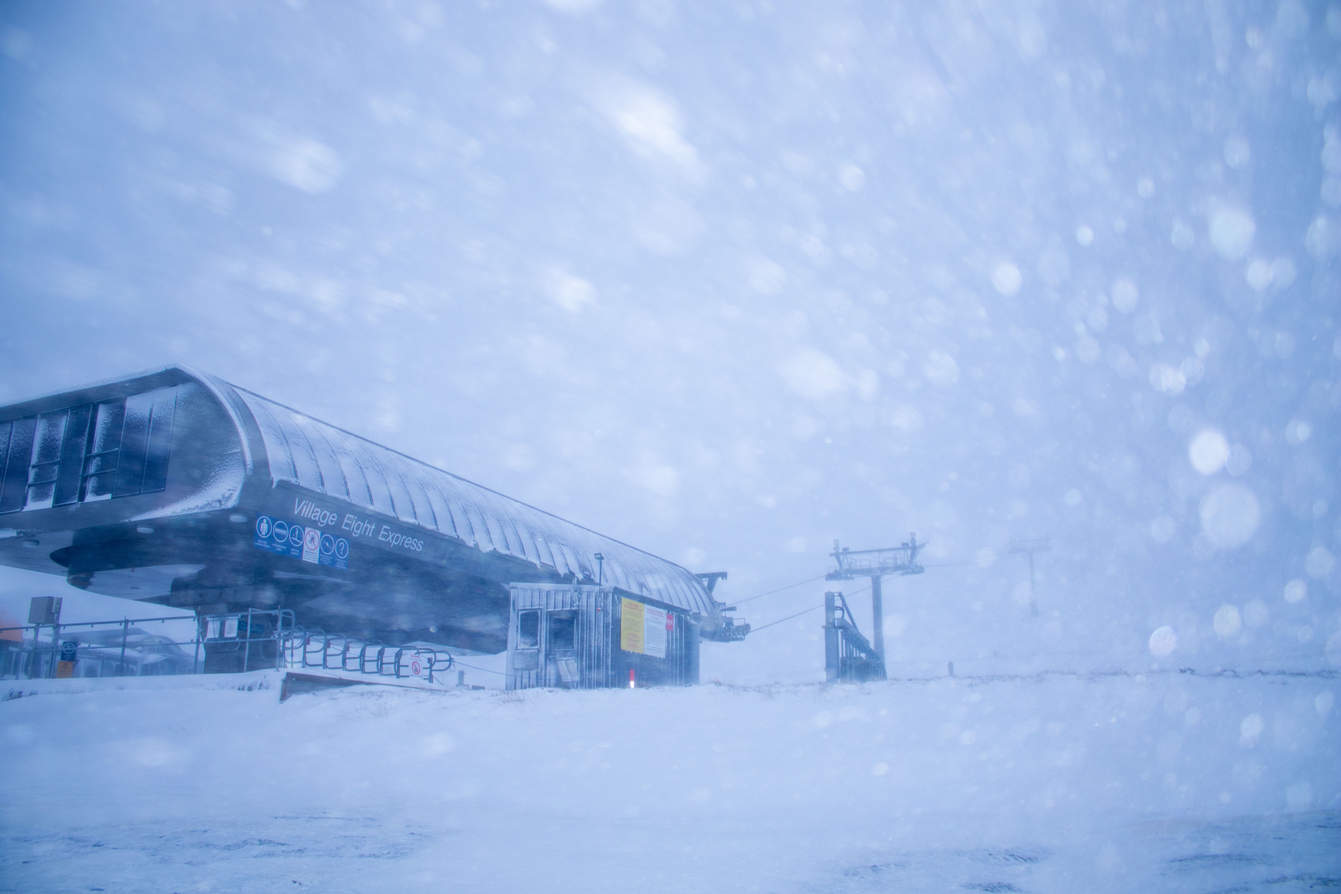
Image: Perisher, NSW on Friday morning. Source: Perisher Resort.
In addition to the snow, icy winds were also making it feel exceptionally cold for the start of May in many areas. While Canberra's temperature was hovering around five to seven degrees for most of the morning, wind chill kept the apparent temperature below zero degrees, even getting down to -3 degrees at times.
Cold air will linger over southeastern Australia into the weekend, with more snow falling in parts of Tasmania, Victoria and NSW. By Sunday, some parts of the alps will have seen more than half a metre of fresh snow, which is an impressive dump for the start of May.