
Severe storms rumble over the NT
A broad region of low pressure triggered widespread thunderstorms over northern Australia on Saturday, with some of these storms becoming severe over parts of the Northern Territory.
Storms sparked to life during Saturday afternoon, with some lingering through to Sunday morning. Rainfall was exceptionally heavy with some of the storms and a Severe Thunderstorm Warning was issued for some northern parts of the territory. Wandie Creek recorded the most rain with 107mm in the 24 hours to 9am on Sunday. Some other impressive 24 hour totals include 73mm at Douglas River, 71mm at Upper Ferguson River and 53mm at Old Delamere.
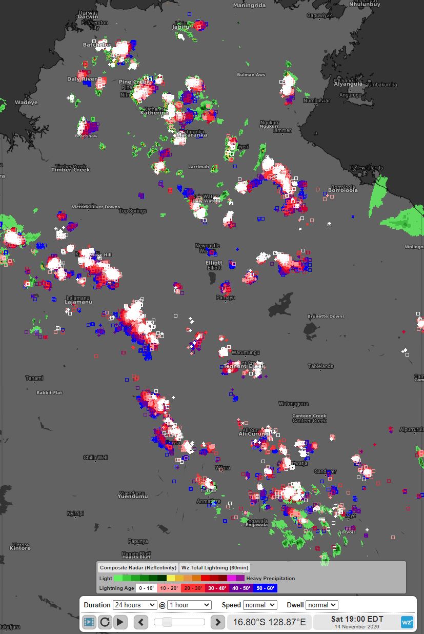
Image: Lighting over the Northern Territory on Saturday evening
Some of the more intense storms brought heavy bursts of rain in a short period of time. At Mount Bundey South, 8.8mm of rain fell in just 10 minutes. Elsewhere, Victoria RIver Downs picked up 8.6mm and Douglas River 6.2mm in the same amount of time. Gusty winds were also associated with some of these storms. Katherine recorded an 87km/h gust as a storm passed through.
These storms also brought an impressive light show to a broad area. Over half a million lightning strikes lit up the skies over the Northern Territory. This exceptional number includes both cloud-to-cloud and cloud-to-ground strikes. Over 140,000 of these lightning strikes reached the ground.
Thunderstorms are a chance to develop during Sunday afternoon over much of the territory excluding Arnhem and far eastern parts of Carpentaria. Once again some of these storms may become severe with damaging winds and heavy rainfall both a risk.