
Severe storms hitting southeast QLD
Numerous severe thunderstorms have developed over southeast Queensland this afternoon.
Satellite images showed a large mass of thunderstorms developing over inland areas of southeast Queensland at around lunchtime on Tuesday. These storms have developed in a very unstable atmosphere that is capable of causing numerous severe thunderstorms.
As of 2pm AEST, a severe thunderstorm warning was in place for the Queensland's southeast inland stretching from the NSW border up to the area just south of Rockhampton. A warning was also in place on the far northern slopes and ranges in NSW, covering an area that includes Tenterfield, Glen Innes, Liston, Emmaville, Boggabilla and Ashford.
The warning area in Queensland was expanded east at 2:34pm AEST to include areas along the coast from about Brisbane to Gladstone.
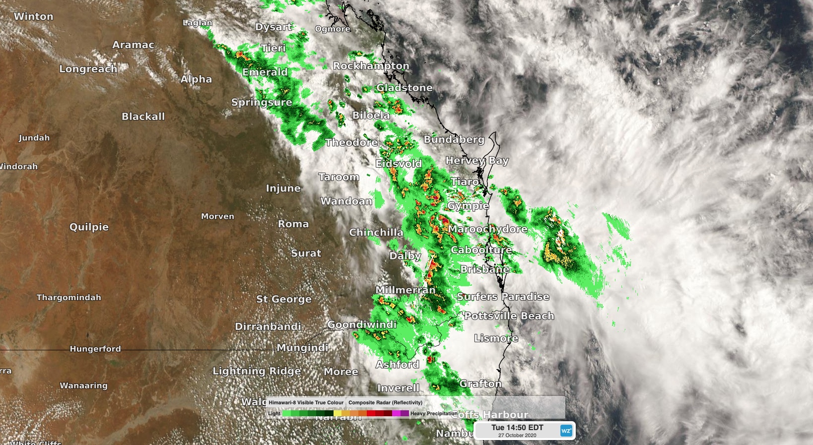
Image: Severe storms moving over southeast Queensland and far northern NSW on Tuesday afternoon.
Detailed severe storm warnings have also been issued in the more densely populated areas of southeast Queensland and will be updated as required throughout the afternoon.
Today's storms are part of a stagnant unstable weather pattern that saw severe storms in parts of Queensland and NSW on multiple days last week. Looking ahead, more severe storms will affect both states on Wednesday and again later in the week.