
Satellites tracking Antarctic air spreading over Australia
Satellites are capturing amazing images of a large Antarctic air mass that is spreading over southeastern Australia today.
Earlier this week, a pool of cold polar air broke away from Antarctica and made a bee-line for southern Australia. Weather watchers have been keenly tracking the journey of this stray Antarctic air as it ventures into unusually low latitudes.
Japan's geostationary Himawari-8 satellite has been capturing detailed images of the air mass over the last few days. On Wednesday, it showed the pool of cold air crossing the Southern Ocean between Australia and Antarctica. Today, it is witnessing the air mass spreading over Australia's southeastern states.
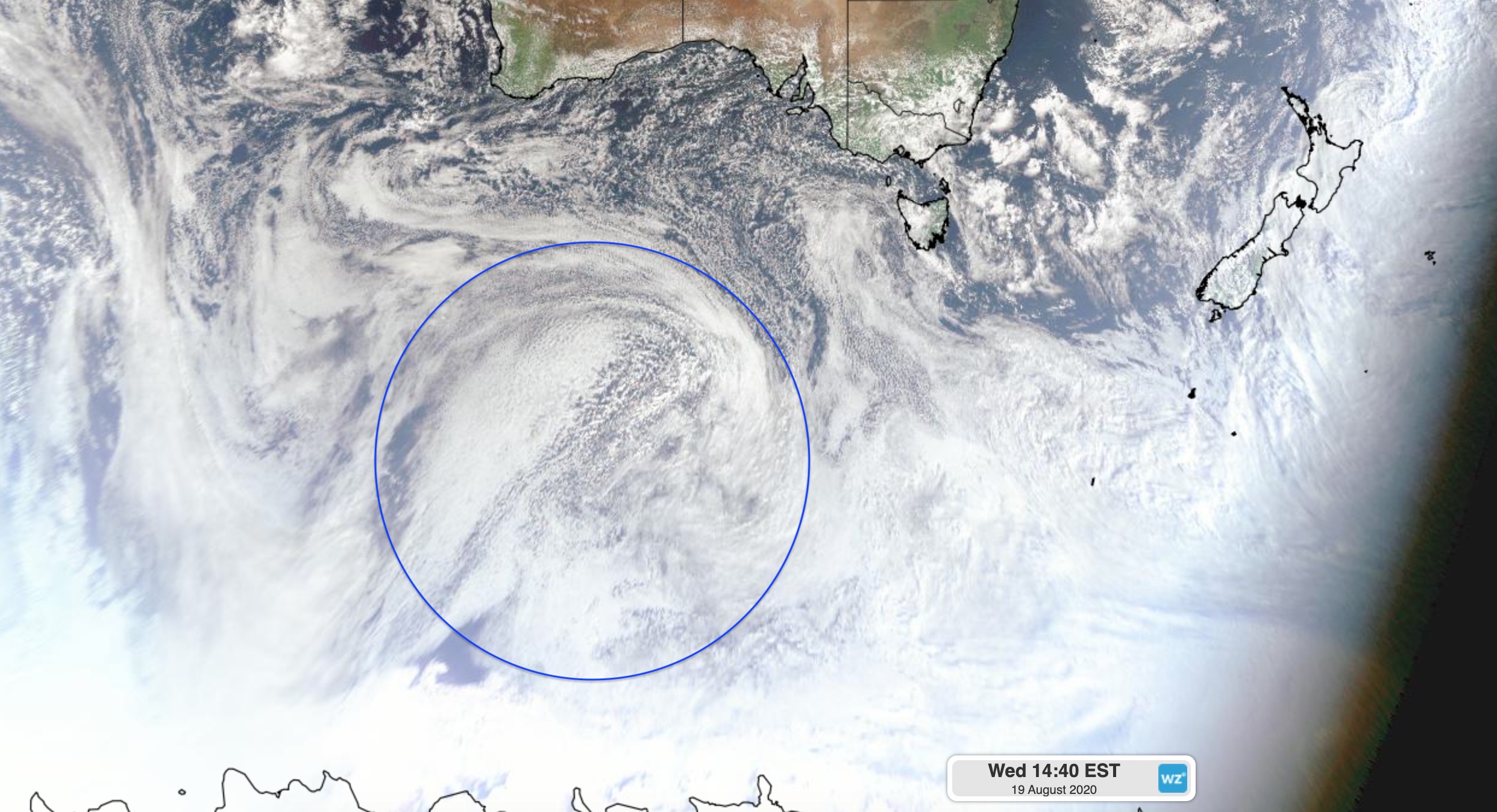
Image: Visible 'true colour' satellite image captured on Wednesday, with the polar air mass circled in blue.
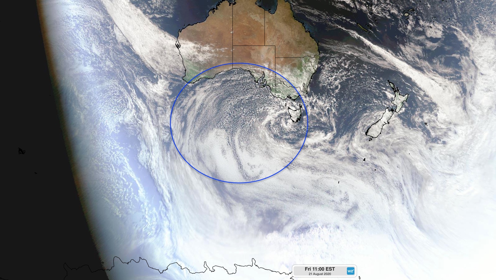
Image: Visible 'true colour' satellite image captured on Friday, with the polar air mass circled in blue.
One of the key features that reveals the polar origin of this air mass is a large field of 'speckled clouds' over the ocean. These clouds form when very cold air moves over a relatively warm area of ocean, causing a large number of individual cumulus clouds to develop over a broad area. Each of these cloud cells can produce rain, hail, snow and thunderstorms, with patches of clear sky in between.
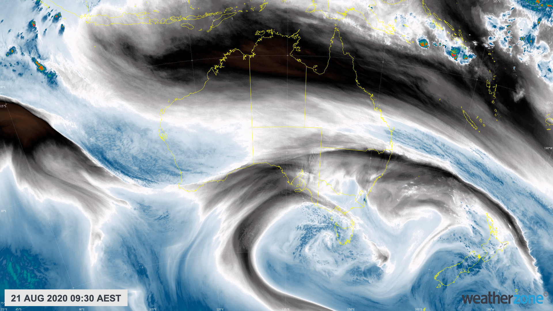
Image: Enhanced water vapour satellite image captured on Friday, showing a band of jet strem cloud across Australia and a pool of convective clouds within the Antarctic air mass near Tasmania.
The Antarctic air will continue to spread over southeastern Australia between now and Sunday, causing a wintry mix of wind, rain, hail and snow in multiple states. Some areas could see thunderstorms and a few places may even witness rare thundersnow (lightning and snow at the same time).
This weather event will be both spectacular and dangerous, so be sure to keep up to date with the latest severe weather warnings and road closures.