
Satellite captures sunset storms building over WA outback
As the sun was setting in Western Australia on Monday evening, the Himawari-8 satellite captured images of a line of thunderstorms building over the state's Goldfields and Eucla Districts.
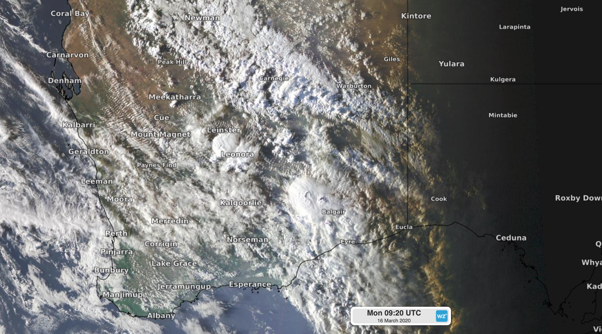
Image: Satellite image showing thunderstorms over Western Australia on Monday evening.
A low pressure trough passing over central and southern parts of Western Australia triggered Monday evening's storms. At 7pm WST, a severe thunderstorm warning was in place for damaging winds and heavy rain across an area stretching from the northern Goldfields down to the Eucla coast.
Inside this warning area, Leonora was hit by two fast-moving storms between 5pm and 7pm on Monday, causing wind gusts to reach 78km/h and the temperature to drop by nine degrees in six minutes amid brief showers.
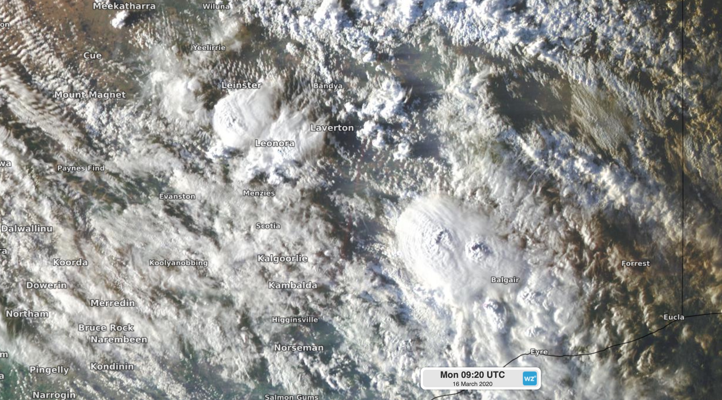
Image: Satellite image showing thunderstorm cells over Western Australia's Goldfields and Eucla districts on Monday evening.
A cold front and low pressure trough will cause further showers and thunderstorms over the southern half of Western Australia on Tuesday, some of which could become severe.