
Rain spreading from NSW into Queensland
A rain-bearing low pressure trough is moving into southern Queensland after soaking parts of central and eastern NSW during the last couple of days.
A blanket of cloud associated with the north-moving trough has already delivered over 20mm of rain to a broad area of NSW, from the Central Tablelands and Mid North Coast. Meldrum's 47mm during the 24 hours to 9am on Thursday was its highest September daily total in 12 years. Dubbo (16.8mm) and Tamworth (15.4mm) also saw their wettest September day in four years during this period.
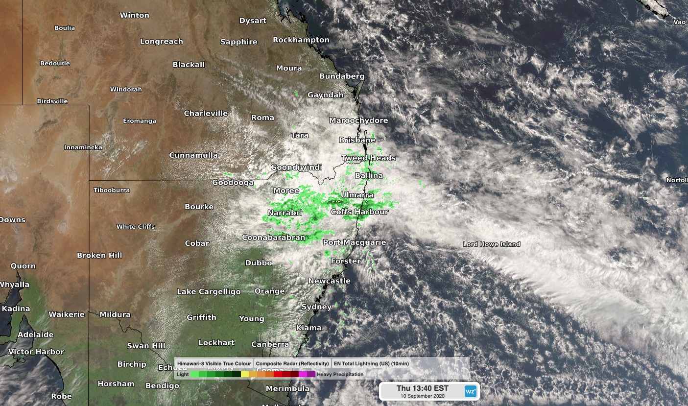
Image: Composite satellite and radar image on Thursday afternoon.
As the trough moves further north, rain will ease in NSW and spread up into parts of southeast and central Queensland during the next couple of days. Parts of southeast Queensland could see 30-50mm of rain between now and Saturday, with the heaviest falls likely to occur along the coast south of Fraser Island.
Showers will ease in southeast Queensland from Sunday as the trough weakens and moves further north.