
Perth’s coldest August morning in nine years after stormy cold front
After a wet and stormy start to the week, Perth and surrounding areas just shivered through their coldest August morning in around a decade.
A cold front caused showers, thunderstorms, blustery winds and cold air to sweep across the southwest of Western Australia on Monday.
This system delivered widespread rainfall totals of 10 to 30 mm across the state’s Southwest Land Division during the 24 hours ending at 9am AWST on Tuesday, including 16.4 mm at Perth.
There was also lots of lightning, with close to 18,000 lightning pulses detected over the state’s southwest on Monday, including about 2,750 within 50 km of Perth.
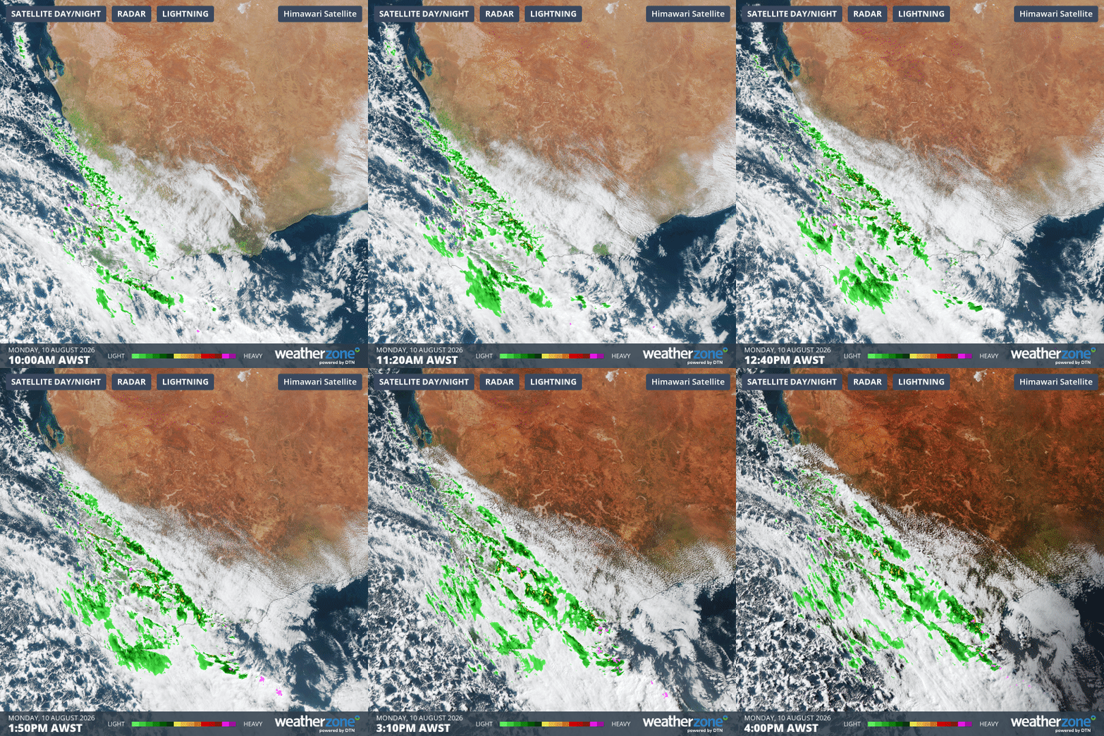
Image: Composite satellite, radar and lightning observations over southwestern Australia on Monday, August 10, 2026. Source: Weatherzone.
By Monday night, most of the cloud, rain and storms had moved further east, allowing clearer skies and lighter winds to develop over the state’s southwest. These conditions, combined with lingering cold air, caused temperatures to dive.
Some of the standout low minimum temperatures on Monday night into Tuesday morning included:
- 2.5°C at Perth, its lowest August temperature in nine years
- 0.8°C at Bunbury, its coldest morning in five years and coldest for August in a decade
- 1.5°C at Pearce RAAF, its coldest August morning in 11 years
- 5.4°C at Mandurah, its lowest August temperature in 10 years
The coldest place in the state on Tuesday morning was Collie East in the state’s South West district, where the temperature dropped to -0.4°C shortly before 6 am.
Looking ahead, showers will continue to spread over the southeast of WA on Tuesday afternoon as the cold front moves towards South Australia. Calmer and drier conditions will return across the whole state on Wednesday under the influence of a large high pressure ridge.
Overnight minimum temperatures will remain chilly for the next few mornings under this ridge. Perth’s temperature is forecast to reach about 5°C on Wednesday and Thursday morning, before climbing later in the week.