
Perth's absurd May warmth to continue this week
Perth’s daytime temperatures have been running 4°C above average so far this month. With no sign of cooling down for at least the next week, the city could be on track to register one of its warmest Mays on record.
In an average May, Perth’s daytime maximum temperatures typically reach around 21 to 22°C. This month, however, days have been averaging about 26.5°C, including three days over 30°C and one day getting as high as 33.8°C, which was the city’s second warmest May day on record.
This month’s abnormally warm temperatures have been caused by a sequence of strong high pressure systems centred near southern Australia, associated with a positive phase of the Southern Annular Mode (SAM). These highs have prevented any strong early-season cold fronts from reaching southwestern Australia and allowed warmer easterly to northerly winds to affect the city.
With the warming influence of these high pressure systems likely to persist for at least the next seven days, daytime temperatures in Perth are forecast to reach 26 to 27°C every day this week. This should maintain the city’s running average maximum temperature at about 26.5°C well into the second half of the month.
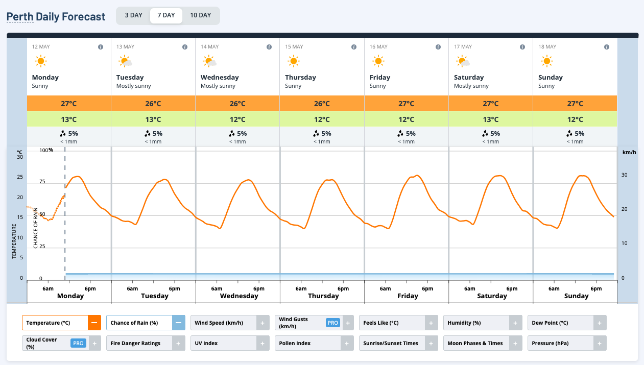
Image: Temperature forecasts for Perth this week.
Perth’s highest average maximum temperature on record during May was 24.9°C in 2024, with data available all the way back to 1897. At this stage, Perth has a good chance of beating this record, unless temperatures start to cool off substantially in the last two weeks of the month.
Perth’s back-to-back record-challenging Mays in 2024 and 2025 follow a long period of autumnal warming over the past century. Perth Airport is one of the official sites used to monitor climate change in Australia and in the 114 years from 1910 to 2023, the site’s average maximum temperature in autumn has increased by around 2.17°C. This rate of warming is roughly half a degree above the national average.
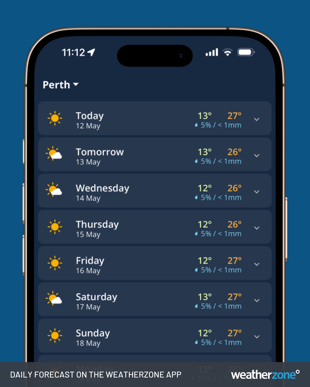
Perth's daily forecasts on the Weatherzone app.
To help put Perth’s unusual late-autumn warmth into perspective, the first half of May has been about as warm as a typical January day in Sydney and Melbourne, or a December day in Adelaide.