
Perth to receive much needed rainfall
Water storage for Perth is currently at 36.6% of capacity, which is lower than any other Australian capital city, but moisture from the tropics will fuel much needed rainfall across southwest WA this week.
As seen below, a low pressure system located offshore from the Gascoyne is tapping into abundant moisture from the tropics and it will be directing that moisture over southwest WA this week.
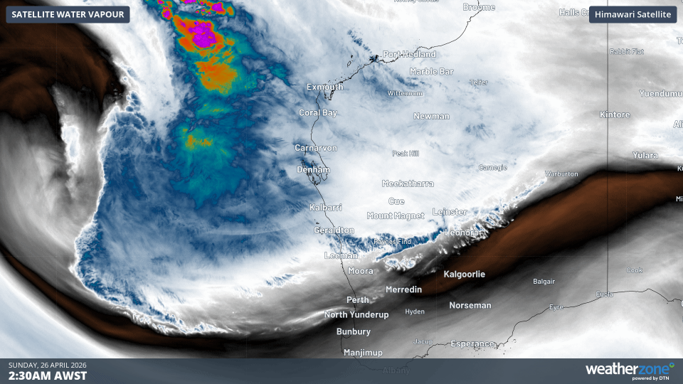
Image: Animation of water vapour imagery on 26 April 2026. Source: Weatherzone.
This moisture will fuel widespread rain across southwest WA on Monday with the potential for isolated thunderstorms and heavy falls. Precipitation will then tend to scattered showers and isolated thunderstorms across the region on Tuesday and early Wednesday. Rainfall totals of 10-30mm will be common across the Perth Metro by Wednesday morning, but isolated locations may see totals exceeding 50mm. Showers will then become rather light and isolated later Wednesday and on Thursday as a ridge of high pressure builds over southwest WA.
So far this month, Perth has received only 16mm of rainfall but the additional rainfall expected early this week could push that figure above the April average of 39mm.