
Persistent rain and large waves to hit southeast Queensland and northeast NSW
A developing low pressure system off southeast Queensland is slowly edging towards the coast today and is expected to bring a period of severe coastal weather to southeast Queensland and northeast New South Wales. As the low interacts with strong high pressure inland, southerly to southeasterly winds are expected to strengthen to strong-to-gale force along the coast and offshore.
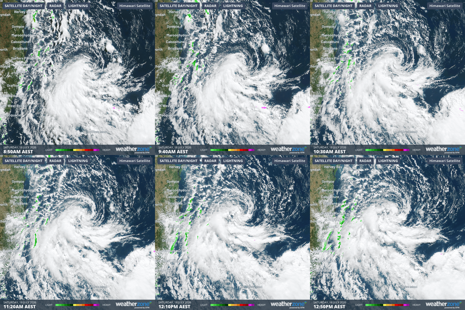
Image: Combined satellite and radar loop of offshore southeast Queensland over the four hours to 12:50 pm AEST on Saturday, July 18, 2026. Source: Weatherzone.
The system will also funnel moisture over land, with another 30 to 50mm of rain in 24 hours possible to Sunday between North Stradbroke Island and Coffs Harbour. This comes after several days of persistent rain, with some locations already recording more than a month's worth of July rainfall, such as
- 76mm in 3 days at Point Lookout (70% of the monthly average),
- 71mm in 3 days at Cape Byron (83% of the monthly average),
- 53mm in 3 days at Lismore Airport (134% of the monthly average),
- 51mm in 3 days at Darlington (109% of the monthly average),
- 49mm in 2 days at Corndale (86% of the monthly average).
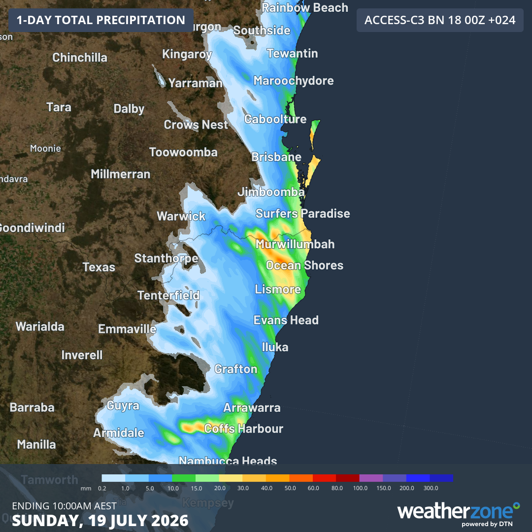
Image: Forecast accumulated rain over northeast NSW and southeast Qld during the 24 hours ending at 10 am AEST on Sunday, July 19, 2026. Source: Weatherzone.
Sustained winds are forecast to reach gale force across the K'gari coast, Byron coast, Sunshine Coast waters and Gold Coast waters through to early Sunday evening, with the strongest winds expected on Saturday evening and early Sunday morning.
Powerful onshore winds will also generate large waves of 4–5 m along the Gold Coast, Moreton Island and North Stradbroke Island through Sunday, with rough conditions persisting offshore into Monday and Tuesday. Damaging surf may cause coastal erosion and localised damage to coastal infrastructure.
Please check the Weatherzone Warnings page for the latest warnings and advice for your area.