
One degree of difference between a huge snowfall and soggy disappointment
In some ways it's the story of the Australian Alps - if only they were a little higher, we'd really have ourselves some mountains with a reliably deep snow cover.
But overnight, temps proved just a degree or two too warm for what would have been a significant authumn dump of snow in the Snowy Mountains of New South Wales.
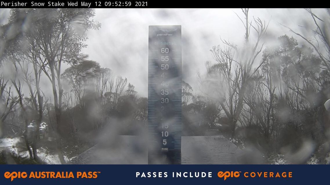
Image: Come June, there's a lot at stake with snow depth. Source: Perisher.com.au via Ski.com.au.
The low pressue system which was the main weather feature in southeast Australia yesterday duly delivered the heavy rainfall predicted, with readings of 139.8 mm in Bega and in 125.0 mm Merimbula in the 24 hours to 9 am Wednesday.
Across the border in Victoria, East Gippsland also raised the bat (as you do when you notch a triple-figure score in cricket) with 101.8 mm in Combienbar.
But the most interesting weather for snow-lovers was happening up in the Snowy Mountains of NSW, which tend to get more precipitation out of these southeasterly systems than the Victorian ski fields, which are located further west.
Snowfalls in early-to-mid May don't make or break a season as most of the snow inevitably melts before the June long weekend. But snow lovers still love to see a decent early dump.
Alas last night, it was a case of so close, yet so far. As you can see on the graph below, temps dipped close enough to zero for snow to fall in the late afternoon and early evening above about 1700 metres.
So Perisher Valley, which is at 1720 m, was getting snow all the way to village level while temps hovered near or just below the one degree mark.
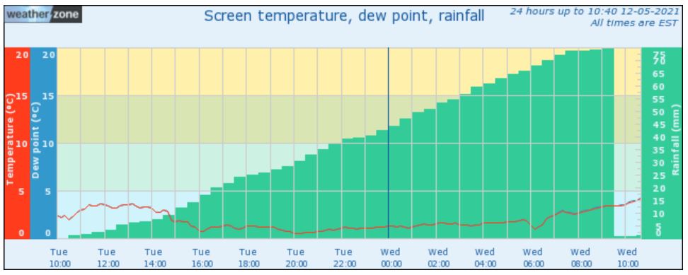
"Snow can fall when the temperature is just above zero because it takes time for it to melt as it makes it through the shallow layer of warmer air," Weatherzone meteorologist Ben Domensino explains.
But there's a limit. By midnight Tuesday night, temps in Perisher Valley rose to about 1.3°C. For the rest of the night, snow was too sleety and wet to accumulate. By 7:30, temps hit a positively tropical 2.5°C and that's all she wrote. It was all rain from there.
And the Perisher snow stake, which had accumulated almost 10 centimetres of snow depth early on Tuesday evening, was bare by Wednesday morning.
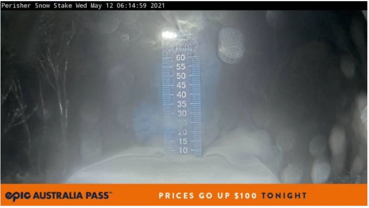
Image: It was looking good there for a while. Source: Perisher.com.au via Ski.com.au.
Perisher recorded 74.4 mm of (mostly) rain up to 9 am Wednesday morning. A degree or two cooler and we'd have had the first proper snow dump of 2021.
No matter. There's a pretty strong system coming this weekend which should deliver a few more flakes in both NSW and Victoria.