
NSW rain update
Heavy rain and thunderstorms have been inundating parts of the NSW coast today. Here are some of the notable falls in the state so far.
The heaviest rain during the middle of Thursday has been fallen along the Mid North Coast. During the six hours ending at 3pm, a whopping 192mm of rain fell at Seven Oaks near Kempsey. Nearby, Kempsey Airport collected 130mm during the same period, which was its heaviest rain in at least a year.
Parts of the Hunter coast have also hit triple figures today, with Blacksmiths registering 101mm in just over six hours from 9am onwards.
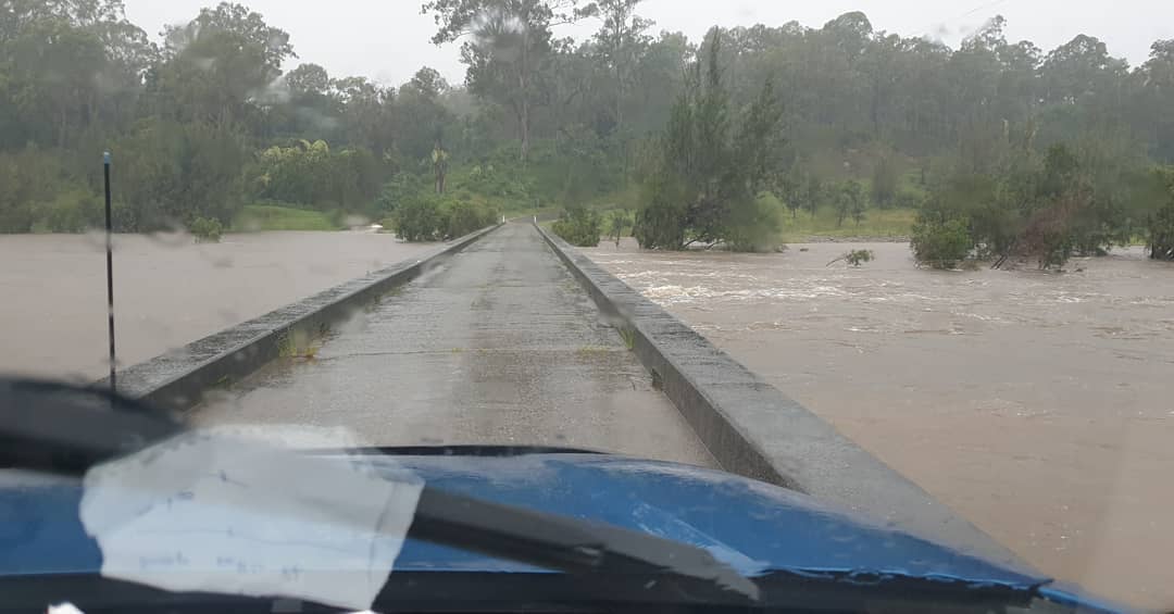
The deluge has caused flash flooding in some areas, with rivers (and carparks) filling rapidly in response to the heavy rain.
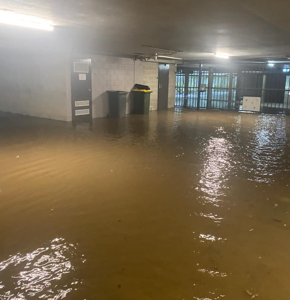
Image: A flooded carpark at the Coffs Harbour Conservatorium on Thursday. Source: @coffscon_music / Instagram
As of 4pm AEDT, a flood watch remained in place for the Mid North Coast, Hunter and parts of Sydney. A severe weather warning was also in place for heavy rain and damaging winds from the Central Coast up to the area just south of Yamba.
While the heaviest rain has been missing Sydney so far today, conditions have been deteriorating in the state’s capital city this afternoon, prompting a road weather alert for the rest of Thursday.