
Massive swell pounds NSW coastline
Conditions are slowly easing along the NSW coastline on Monday, after a period of huge swells that peaked late on Sunday night with a largest wave of 4.7 m recorded, although there were anecdotal reports of waves exceeding five metres in height.
For the second time this year, powerful waves surged all the way onto the promenade behind Bondi Beach, coating concrete in sand, and briefly leaving no trace at all of the iconic beach.
Huge waves are smashing into Sydney beaches with hazardous surf warnings for much of the New South Wales coast. Waves have covered the promenade at Bondi knocking over bins and drenching cars. https://t.co/eitarHgxln #SydneyWeather #7NEWS pic.twitter.com/olhlf01NEt
— 7NEWS Sydney (@7NewsSydney) June 13, 2022
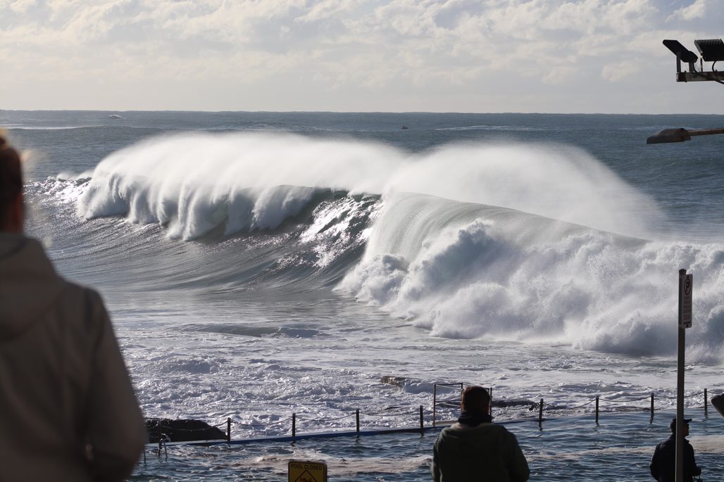
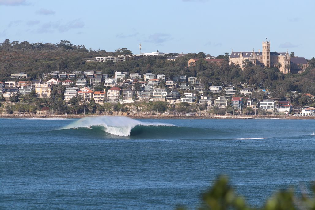
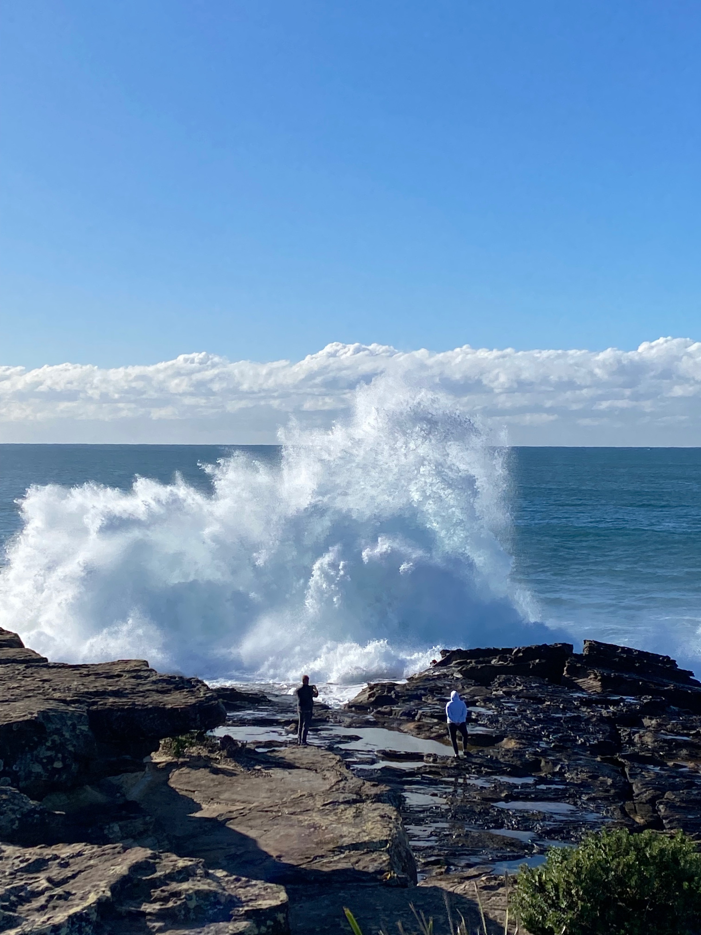
Weatherzone meteorologist Felix Levesque was out and about on Sydney’s northern beaches on Sunday morning and captured these remarkable images around Dee Why and Queenscliff.
What caused the massive swell and when will it ease?
The swell was caused by a deep low pressure system near New Zealand. The low continues to move east, and conditions will slowly moderate as it does so, although large hazardous surf should persist along the NSW coast for several days.
At 10:20 am on Monday, the Bureau of Meteorology cancelled the damaging surf warning it had issued at dawn for Sydney and nearby parts of the NSW Coast, however as mentioned, hazardous surf conditions will persist for the coming days along the entire New South Wales coast.
As for the weather in NSW, it's fine across all districts today, and should remain that way along the coast for most of the week, with the chance of midweek rain over inland southern districts.