
Low-level snow coming to Tasmania this week
Snow could fall in higher parts of Hobart later this week as a polar air mass causes temperatures to plummet across Tasmania.
A pool of very cold air will sweep across Tasmania between Wednesday and Friday this week, driven by a complex low pressure system passing to the south of Australia. The coldest part of this air mass, which originated near the fringe of Antarctica, will pass over the state on Thursday.
In addition to the cold air – which will send temperatures below 0°C over large parts of the state – the wintry system will also blast Tasmania with powerful west to southwesterly winds. This will create teeth-chattering wind chill and bring damaging to destructive wind gusts in some parts of the state.
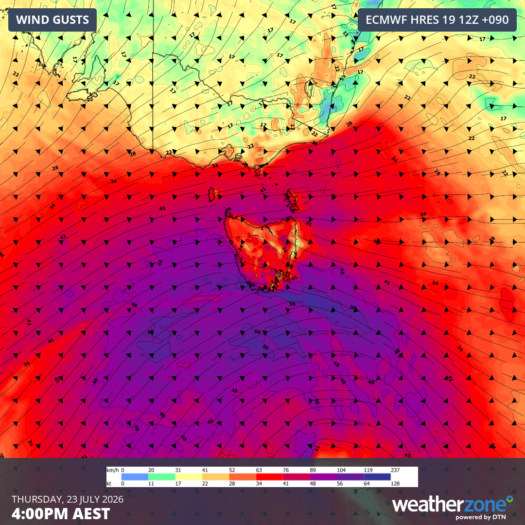
Image: Forecast wind gusts at 4pm AEST on Thursday, July 23, 2026. Source: Weatherzone.
While Hobart’s maximum temperature is forecast to reach 10°C on Thursday, wind chill will make it feel lower than 0°C at times during the day.
There is some uncertainty regarding how low snow will fall from this system, with indications that it could drop to around 400 metres above sea level on Wednesday and 200 metres on Thursday. There is even a chance of a few flakes reaching sea level in the state’s south on Thursday.
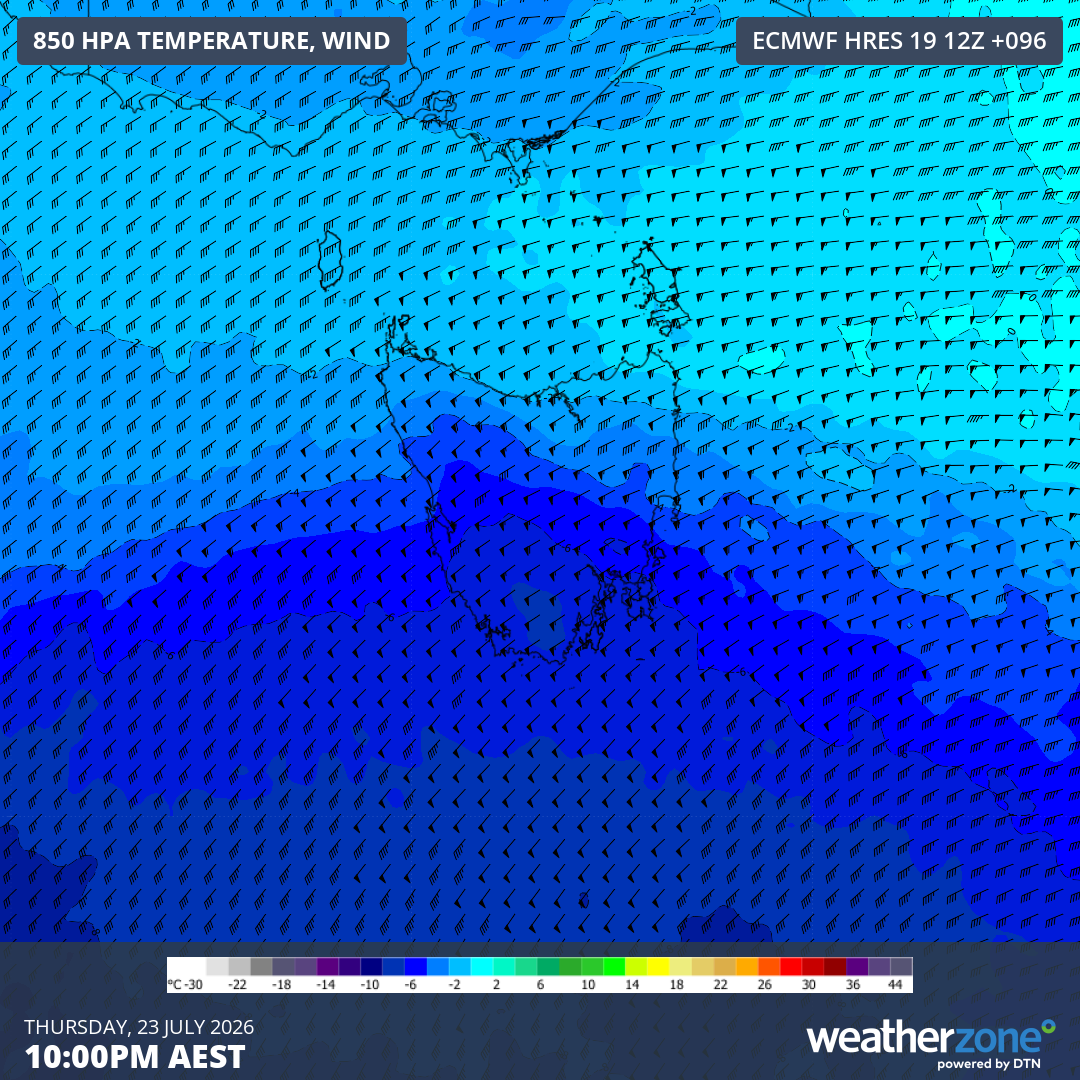
Image: Forecast 850 hPa wind temperature at 10pm AEST on Thursday, July 23, 2026. Source: Weatherzone.
You can check the Weatherzone app to see how low temperatures are predicted to get across Tasmania later this week, along with the latest severe weather warnings during this system.