
La Nina Watch issued by US Climate Prediction Centre
There are growing signs that La Niña could redevelop in the Pacific Ocean later this year, prompting the US Climate Prediction Centre to issue a La Niña Watch this week.
The Pacific Ocean has been in a neutral phase since the last La Niña came to an end back in March of this year. This means that both ocean and atmospheric conditions across the equatorial Pacific are currently acting normal for this time of year, with neither La Niña nor El Niño in place.
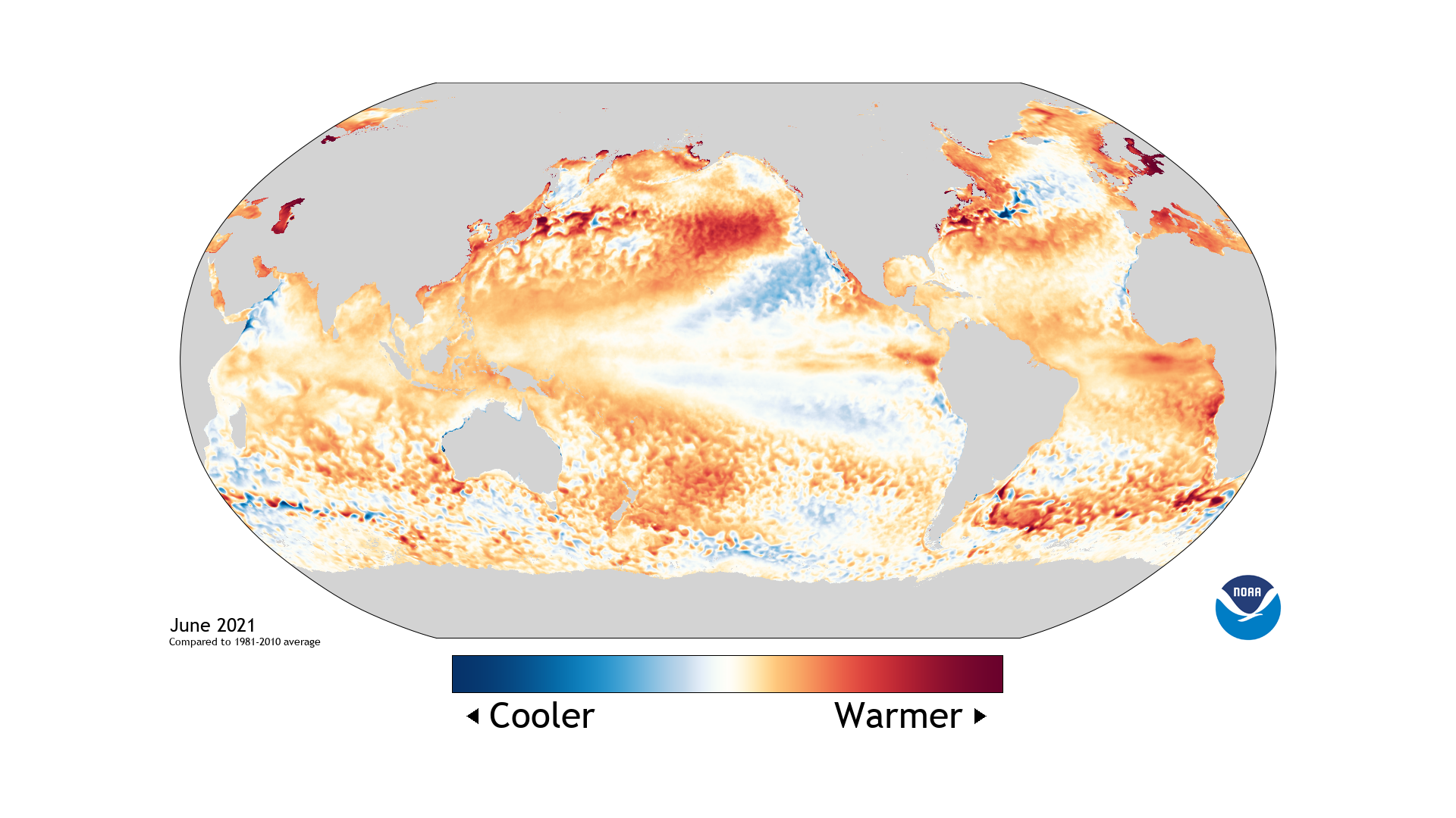
Image: Global sea surface temperature anomalies in June 2021. Source: Climate.gov Data Snapshots
But forecast models suggest that La Niña could redevelop during the second half of 2021, potentially opening the door to the first back-to-back La Nina event in a decade.
According to the US Climate Prediction Centre (CPC), neutral conditions are likely to persist in the Pacific Ocean through the rest of the Southern Hemisphere winter and into spring. However, the organisation then gives a 66 percent chance of La Niña occurring by the three-month period from November 2021 to January 2022.
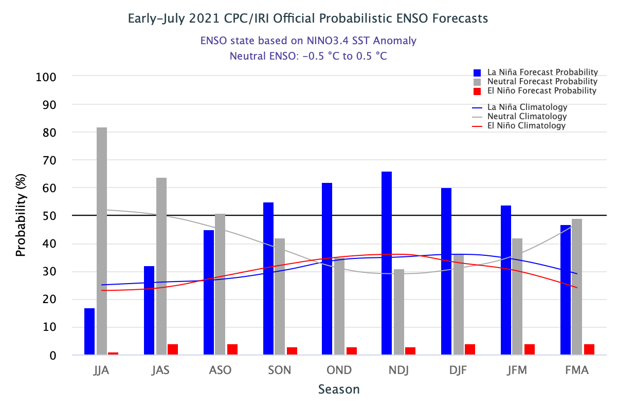
Image: The CPC's probabilistic forecast for La Niña and El Niño. The blue bars show an increasing chance of La Niña towards the end of the year. Source: CPC/IRI
While Australia's Bureau of Meteorology are yet to join the CPC in issuing a La Niña Watch, they do acknowledge the potential for La Niña later in the year.
The latest climate driver update from the Bureau states that neutral conditions are likely to persist in the Pacific Ocean during the rest of the Southern Hemisphere's winter, while "two models forecast temperatures reaching the La Niña threshold during September."
La Niña typically causes above average rain over large areas of Australia during winter, spring and early summer. It can also cause an early start to Australia's northern wet season and typically boosts the number of tropical cyclones seen in the Australian region between November and April.