
How to read weather radar images (and why it matters)
Radar images are one of the most useful features in modern weather apps and knowing how to interpret radar images is a skill that anyone can learn and everyone should have.
What is radar?
Radar stands for ‘radio detection and ranging’ and it refers to a system that uses pulses of radio waves to detect objects in the sky.
A radar tower sends radio waves out into the atmosphere in short pulses and when these pulses hit objects in the sky, such as water particles, they bounce back towards the radar as ‘echoes’. The strength of these echoes and the time they take to return to the radar tower is then used to calculate what the object is and how far away it is from the radar site.
Weather radars are primarily used to detect hydrometeors (water-based particles in the atmosphere), which include rain, hail and snow. However, they can also be used to detect wind and other small objects, including insects and birds.
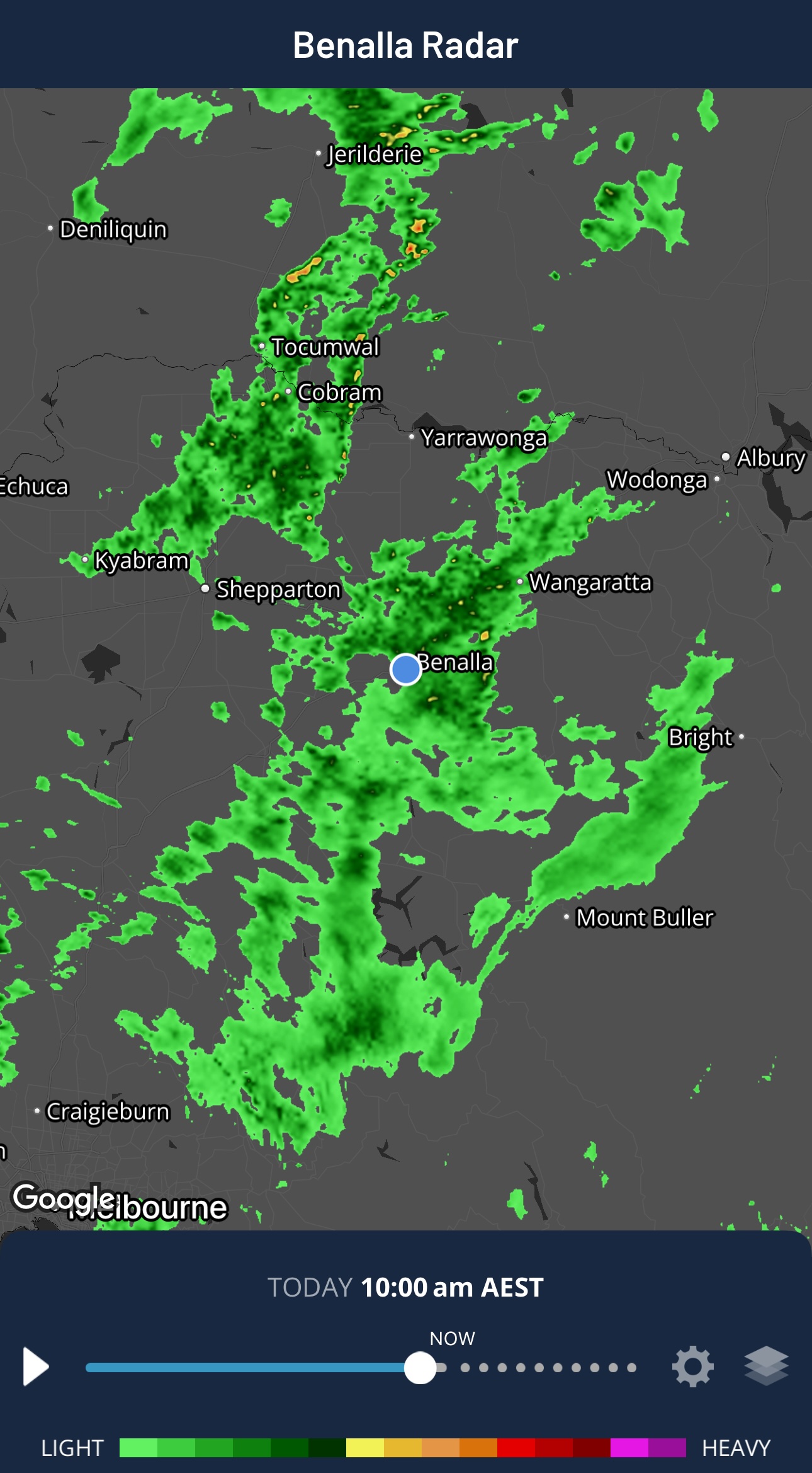
Image: Radar on the Weatherzone app showing rainfall over Vic and NSW on Monday, June 29, 2026. Source: Weatherzone.
Types of radar images
Modern weather apps typically feature two main types of radar imagery:
- Reflectivity (precipitation) – used to show rain, hail and snow. This is the most common type of radar imagery that you see on apps.
- Velocity (wind) – used to show wind speed and direction. Available in some apps and typically shows wind in two colours, one colour for air moving towards the radar site and another colour for air moving away from the radar site. Colour intensity usually correlates to wind speed in these images.
- Some weather radars also feature a technology called dual-polarisation, which uses both horizontal and vertical pulses to provide more detailed information about precipitation type and intensity.
Most modern radars complete one full series of scans every 5 minutes, meaning you will usually be able to see radar images at 5-minute intervals once they arrive on your phone or computer screen.
Why is radar useful?
Radar is a weather observation, meaning it shows rainfall that is occurring in near real-time. This is different to a rainfall forecast, which uses powerful computer models to predict where and how much rain will fall.
Radar images let you keep track of rain that is falling in your region. By viewing multiple radar images in a sequence, you can track rainfall and thunderstorms and find out where they are moving and how intense they are.
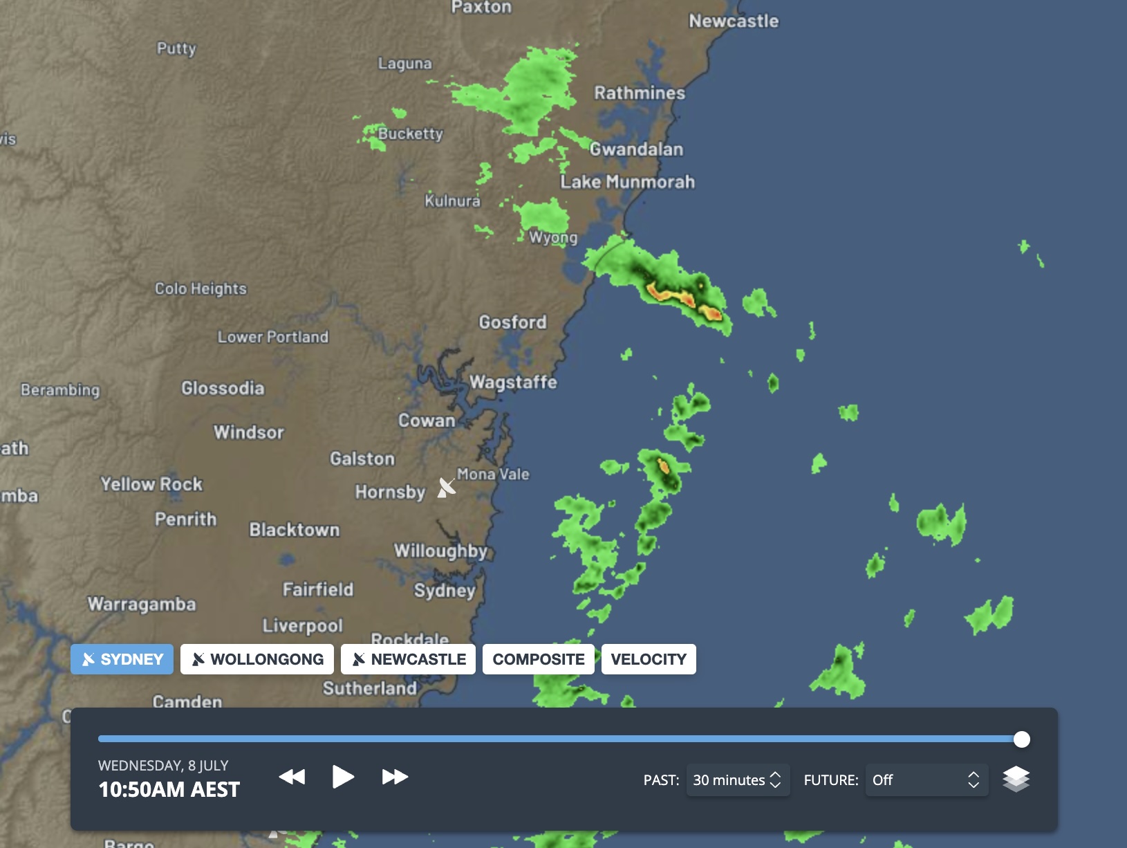
Image: Radar image (reflectivity) on the Weatherzone website. Source: Weatherzone.
How to use weather radar images
You can find radar images on most modern weather apps and websites, including Weatherzone. Some apps even specialise in radar images and offer more complex data.
Some tips on interpreting weather radar include:
- Understand the colour scale, as this generally represents precipitation intensity.
- View multiple radar images in an animated sequence. This helps determine in which direction and how fast rain or storms are moving.
- Note how rain or storm cells are changing between each image. This can help determine if it is getting more intense or decaying.
- Check the time of the latest radar image being displayed. Most radar images update every 5 minutes, but there are also a few minutes of processing time before the latest image becomes available. This means the latest radar image might be around 10 minutes old by the time you see it.
- Very small water droplets can be difficult to detect with radar technology, so you might not be able to see drizzle on a radar image.
- Radar images can sometimes show things that are not precipitation. These can include insects, birds and aircraft. False echoes can also be caused by technical problems with the radar. The more you use radar imagery, the more obvious these erroneous echoes will be.