
Hobart's localised chill
Hobart has shivered through a rather cold day after a slow-moving trough stalled over the region.
Hobart only reached a top of 8.3 degrees during the daytime on Friday, about 4 degrees below average. The cool 7.6 degrees at 3pm was the lowest June 3pm temperature in 4 years.
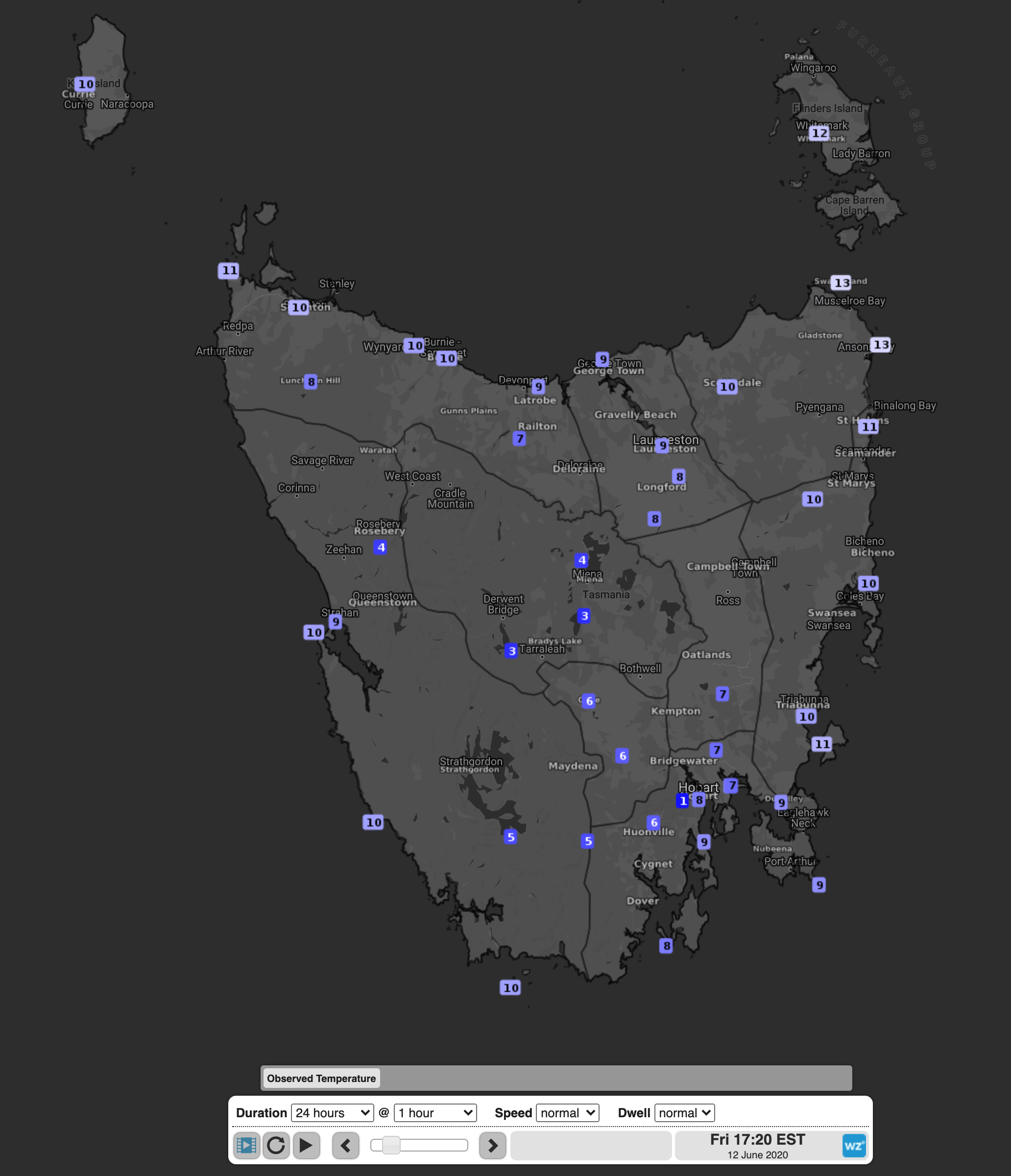 Image: Tasmaina's temperatures at 5:20pm on Friday
A lingering trough ensured light northerly winds continued to come off the highlands bringing in the cool air, while cloudy skies prevented the ground from warming.
Temperatures only warmed up in the late afternoon as showers started due to the latent heat effect. This effect occurs when water vapour condenses into water, releasing some heat. This warming continued into the early hours of the morning, with Hobart reaching its official maximum temperature of 10.2 degrees just after midnight.
Despite the cool temperatures, Melbourne reached a top of 15.3 degrees, one degree above its June average, showing how localised the trough’s effect was.
Luckily for Tasmainians, the trough is starting to dissipate ahead of a strong cold front that will cross the region late on Saturday night. Hobart is expected to reach a top of 15 degrees on both Saturday and Sunday.