
Heavy Tassie snow two weeks out from summer
Ah, Tasmania. Island of contrasts.
There's winter, when it can snow quite a lot. And then there's spring, autumn and summer, when it can also snow, just like it has this chilly November morning, two weeks out from summer.
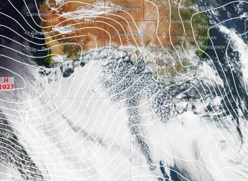
The cause of today's significant spring snow dump is a low pressure system centred to the southeast of Tasmania, which is pushing a cold airmass with polar origins over the state. You can see the strong southwesterly flow and the tell-tale speckled airmass on the 9:30 am (AEDT) Tuesday image below.
As we write this story, kunanyi/Mt Wellington above Hobart remains shrouded in cloud, but the snow cams from nearby Mt Mawson reveal a good 10 cm or thereabouts of settled snow.
Mt Wellington fell to -2.5°C earlier this morning just after 7 am, while Hobart was sitting on just 7.2°C at 9:30 am. That gives you a pretty good idea of how cold this airmass is.
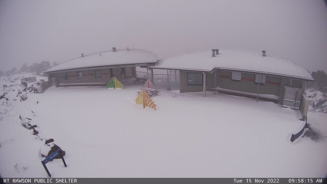
Image: Open the ski lifts! Source: Mtmawson.com.au.
The forecast for Hobart is for heavy rain continuing on Tuesday, and it is indeed currently raining, with 23.6 mm in the gauge to 9 am, most of which fell just after dawn this morning. So it's conceivable that kunanyi/Mt Wellington and other elevated parts of Tasmania could see a seriously deep snowfall before this system passes.
- While Hobart is tipped to reach a maximum of just 11°C today, it's possible that it could struggle to reach that level if heavy cloud and rain sticks around, preventing warming.
- Hobart's coldest November max on record was 8.3°C on November 5, 1913.
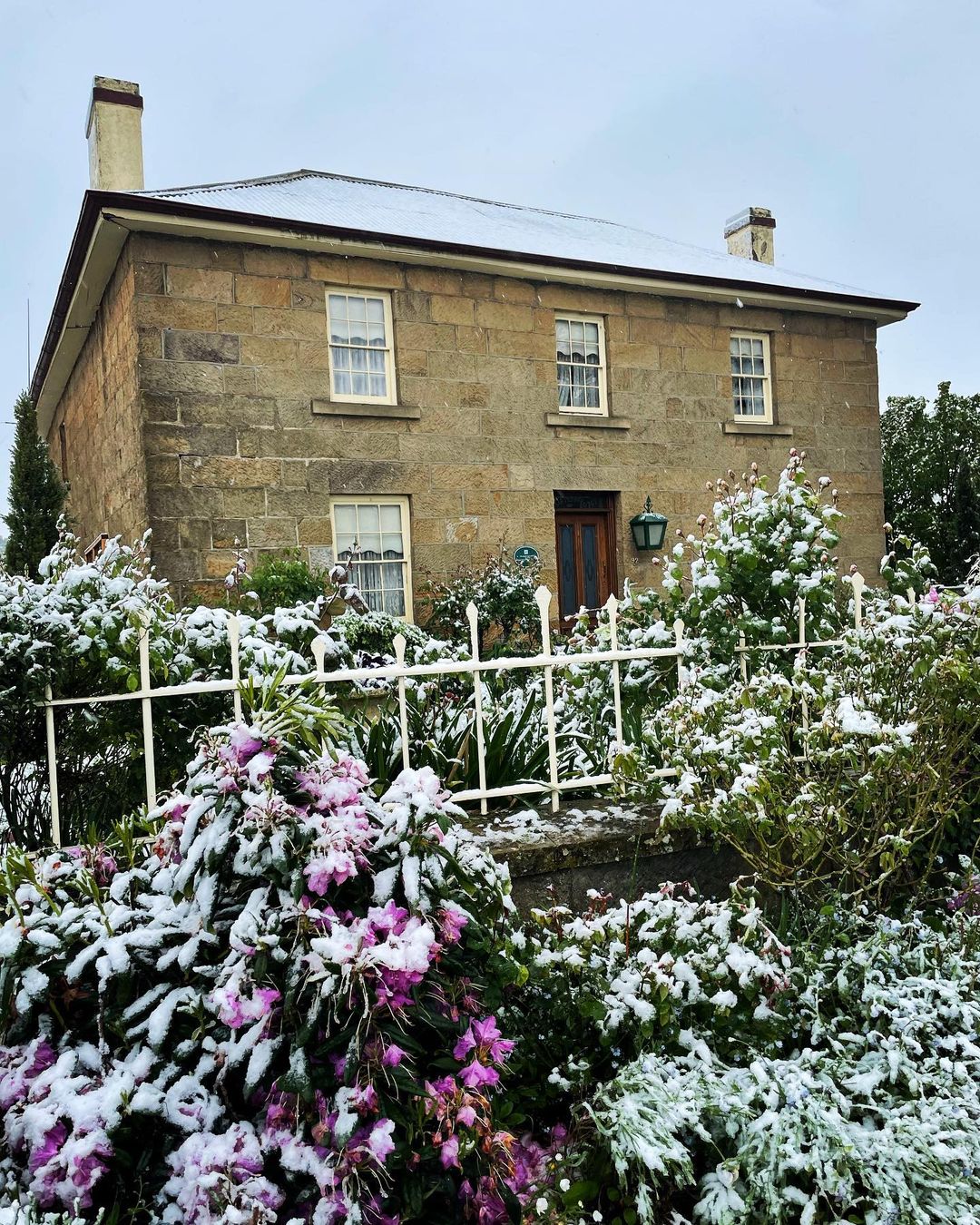
Image: It snowed to quite low levels too. This pic is at Oatlands, around 400 metres above sea level, about 80 km north of Hobart. Source: @ally_in_the_huon_valley via Instagram.
Cool, showery weather is the order of the next couple of days for Hobart, although a warming, drying trend will set in by Thursday, with temps topping 20°C on Saturday before another showery cool change arrives in the new week.