
Heavy snow in high parts of NSW, as verified by beer-can-o-meter
When Phil Richmond put his beer-can-o-meter to work last night, he didn't realise it would almost reach its limit.
The average beer can is around 12 cm in height, so based on the image below, we can safely surmise that around 10 cm of snow settled at Richmond's place at Hill Top, about 45 minutes east of the Snowy Mountains at around 1100m above sea level.
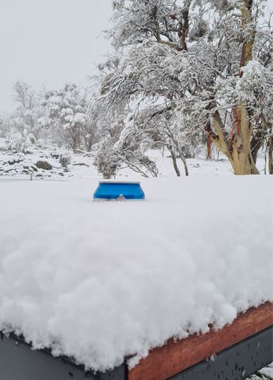
Image: An underrated meteorological instrument. Source: Phil Richmond.
Snow is currently falling at higher levels of the NSW ranges and tablelands all the way up to the Northern Tablelands in the wake of a strong cold front which whipped through the state overnight.
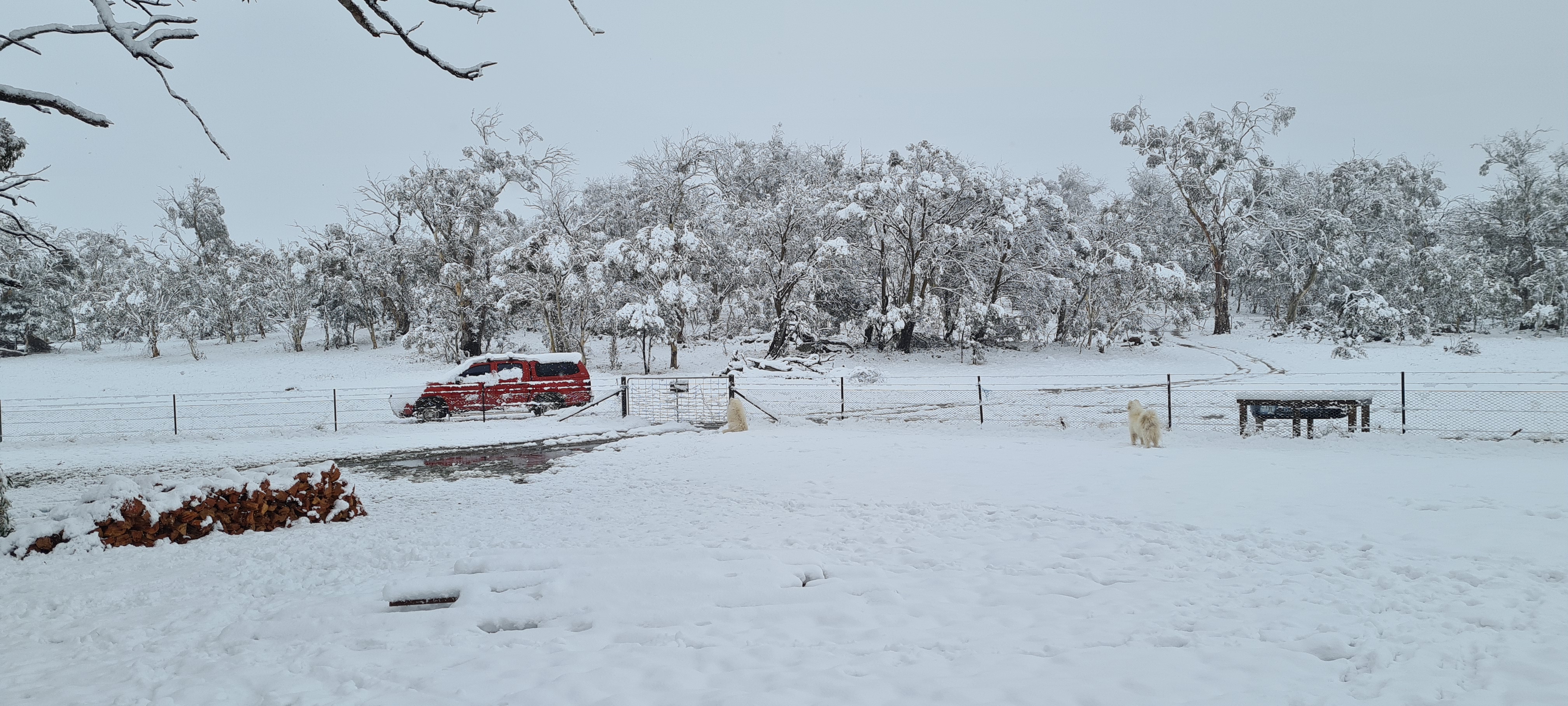
Image: A wider view of Phil Richmond's property this morning. Those of you with a keen eye and good memory may recall the samoyeds Zigge and Casper from a story we did in June. Source: Phil Richmond.
The cold change brought storms and heavy rain to many parts, and Sydney is having a much colder day than it has experienced in recent times, with an abrupt end to the record 15-day streak of winter days that reached 20°C or higher.
Indeed at 11 am, Sydney was hovering on just 8.9°C. For the record, this winter's coldest day was June 10, when the max reached just 10.3°C. That was Sydney's coldest day in 37 years, and it would be remarkable if a similar maximum was notched today in a winter which, overall, has been much warmer than average.
With rain set to continue and the wind likely to intensify this afternoon, Sydney will remain in the meteorological spotlight for the next day or more.
But for now, some of the most interesting weather action is on the tablelands and ranges, where snow is falling to about 900 metres above sea level. This was the scene in Guyra (elevation 1330 m) earlier today.
Lockdown powder day in Guyra! 😀 pic.twitter.com/NRDPm1iFd3
— Tim Stevens (@stevenst) August 23, 2021
Snow has also been reported in Oberon, and sleety snow showers have occurred in Blackheath in the Blue Mountains, with the potential for heavier snow to come.
7:30am and it’s starting to sleet/snow here in south western Blackheath â„ï¸â„ï¸
— Anthony Lowe (@DrAnthonyLowe) August 23, 2021
Why the low snow?
"Cold air near the ground is undercutting moisture-laden air in a northerly flow a few kilometes above the surface," Weatherzone meteorologist Ben Domensino explains.
"As the cold southerlies push under the moist air, this is allowing the precipitation to stay frozen all the way to the ground."
And of course, snow is also falling in places you typically associate with snowfall like Thredbo, where with lifts closed, locals in lockdown are left with only one option to get up hill for their powder turns - hike!
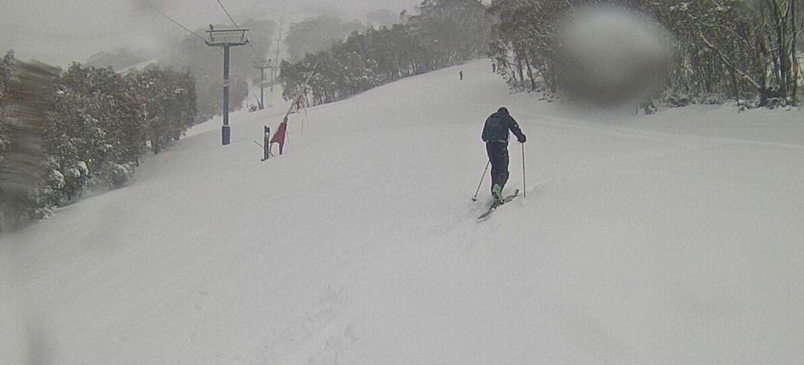
Image: All well within the 5km radius if you're lucky enough to live in the mountains. Source: ski.com.au.