
Foggy morning in South Australia
Widespread fog was covering parts of South Australia on Tuesday morning, with visibility reduced below 100 metres at Adelaide Airport.
The combination of light winds, low temperatures and moisture in the air caused fog to develop over parts of South Australia on Monday night.
As the sun rose on Tuesday morning, fog was covering areas in and around Spencer Gulf and Gulf St Vincent, as well as parts of the Flinders and lower North East Pastoral districts.
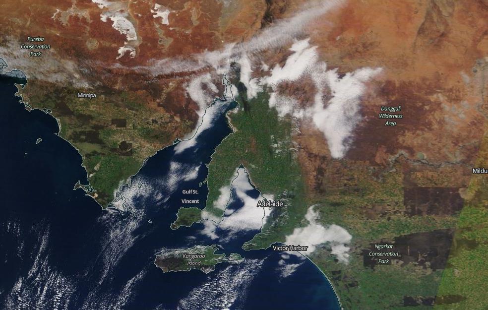
Image: Satellite image of widespread fog over South Australia late on Tuesday morning. Source: NASA Worldview
The thick fog was problematic in Adelaide, where reduced visibility made it difficult to drive on some roads and caused flights to be delayed at the airport.

Image: Fog shrouding Glenelg Jetty on Tuesday morning. Source: @jettyrdglenelg / Instagram
While the fog had cleared most areas by the afternoon, there were still some patches lingering over Gulf St Vincent and nearby coastal areas late in the day.
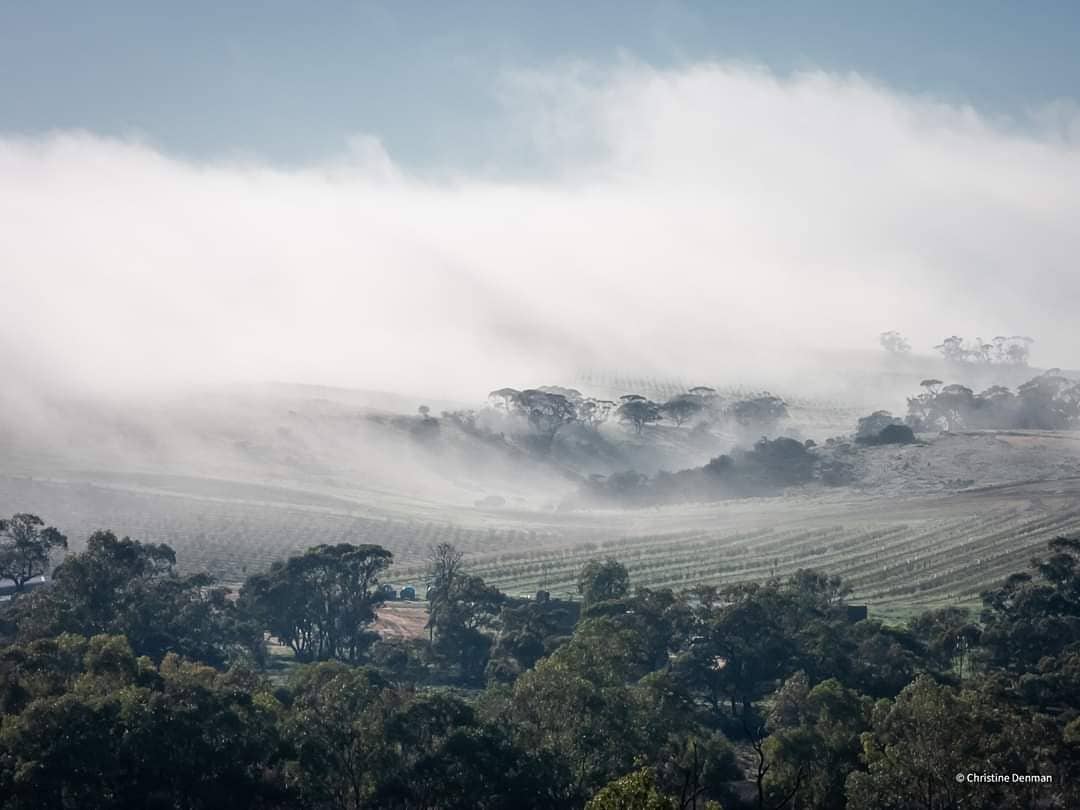
Image: Fog at Coolcha on Tuesday. Source: @karkalla8 / Instagram
Persistent fog at Adelaide Airport had only allowed the temperature to climb as high as 9.9 degrees by 3pm. The airport hasn't registered an official daily maximum temperature this low in 22 years. However, it will need to remain at or below this temperature until 9am tomorrow for this to be the official daily maximum.
More fog will develop during Tuesday night and Wednesday morning, particularly over central and eastern inland areas of the state.