
Flooding rain returns to southeastern Australia
Widespread rain and damaging winds will affect parts of southeastern Australia over the next 24 to 48 hours, with renewed flooding likely in parts of NSW, VIC and TAS.
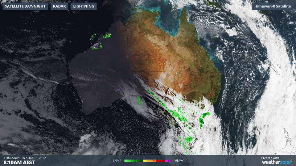
A cold front passing over Australia’s southeastern states will produce a mix of blustery showers and strong winds between Thursday and Saturday.
The passage of the front should see around 10 to 30mm of rain fall over a board area extending from central NSW down to TAS and even across to southern districts of SA. Some places in western and northern TAS could pick up more than 50mm from this system.
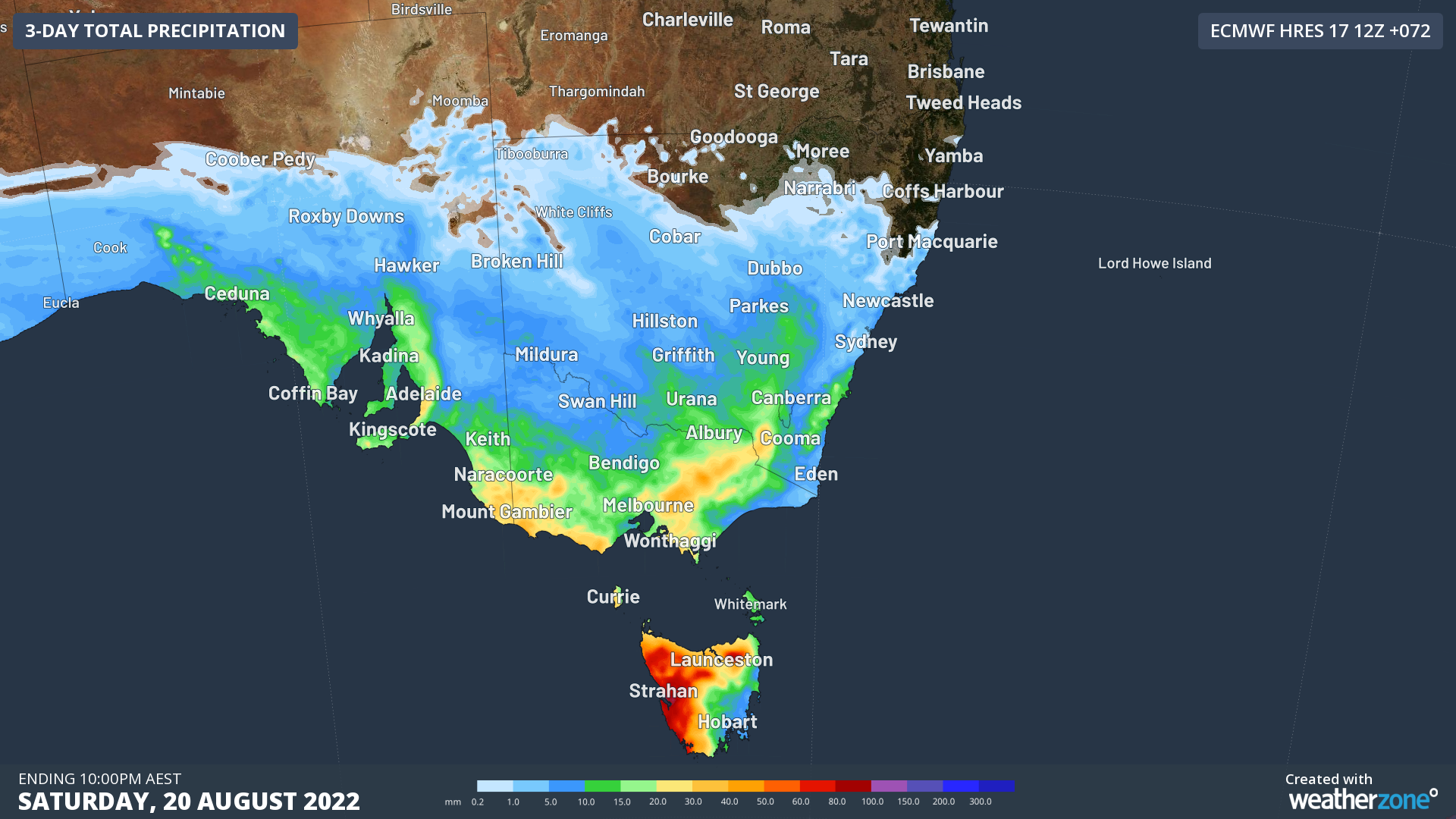
Image: Forecast accumulated rain during the 72 hours ending at 10pm AEST on Saturday, August 20, 2022.
Most of the rain from this system will fall on Thursday and Friday, with some follow-up showers on Saturday.
While the rainfall from this system won’t challenge records, it will be falling over already saturated catchments will likely cause flooding in some areas. This includes parts of NSW, VIC and TAS that are still recovering from last week’s heavy rain and flooding.
In addition to the rain, damaging winds are also likely to accompany the cold front as it crosses eastern VIC and southern NSW on Thursday. Wind gusts had already exceeded 90 km/h at Melbourne Airport early on Wednesday night and reached 102 km/h at Mt Hotham shortly before lunchtime on Thursday.
Numerous flood and severe weather warnings have been issued across southeastern Australia in response to this system. Be sure to check the latest advisories in your area for the most up-to-date information.