
First burst of spring warmth for southern capitals
Maximum temperatures in the twenties are forecast for at least one day this coming weekend in Adelaide, Melbourne, Hobart, Canberra and Sydney as northerly winds push warm air from Australia’s interior southwards.
For those craving consistent warmer weather, the weekend will provide only a brief taste of spring – as a strong cold front will likely bring a return to cold, windy, wintry conditions across the southeast early next week.
But let’s start with the burst of spring warmth which is due ahead of the front. Forecast maximums for the southern capitals this weekend are:
- Adelaide: Saturday 25°C, Sunday 22°C
- Melbourne: Saturday 20°C, Sunday 21°C
- Hobart: Saturday 17°C, Sunday 21°C
- Canberra: Saturday 19°C, Sunday 20°C
- Sydney: Saturday 19°C, Sunday 21°C, Monday 25°C
You’ll notice that we included Monday’s forecast maximum (of 25°C) for Sydney. That indicates how the warmest air won’t reach the east coast until early in the new week.
It’s worth noting that Sydney is also enjoying a relatively warm spell this Wednesday, with a maximum of 22°C expected today and 24°C predicted for Thursday. Meanwhile Adelaide, Melbourne, Hobart and Canberra will all see much cooler maximums well below 20°C on both days.
That's because Sydney is far enough north to miss the cool air and moisture associated with a midweek cold front which is currently clipping the southeastern mainland and bringing snow to higher parts of Tasmania.
The cold front due early next week should be considerably stronger as a polar airmass surges onto the mainland, colliding with moisture from the north.
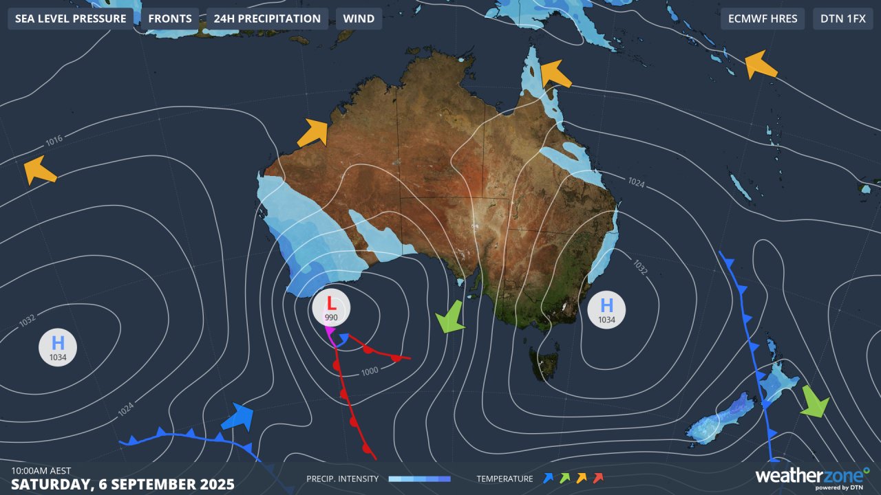
Image: Forecast synoptic chart for Saturday, September 6, 2025. Air circulating anti-clockwise around the high pressure system centred over waters just east of the NSW coastline will generate warm northerlies over eastern Australia.
But as mentioned, northerlies ahead of that front will drag warm air across the southeast over the weekend, with the warmest day since early May likely in many locations across southeastern Australia on either Saturday, Sunday or Monday.