
Ex-Tropical Cyclone Ellie: an update
Ex-Tropical Cyclone Ellie continues to make its way slowly across into southern parts of the Northern Territory (NT), where it will bring further heavy rain in the coming days. At the time of writing the system was located about the border of Western Australia (WA) and the NT (Fig. 1), with associated cloud and rainfall extending across southern the NT and far eastern parts of WA.
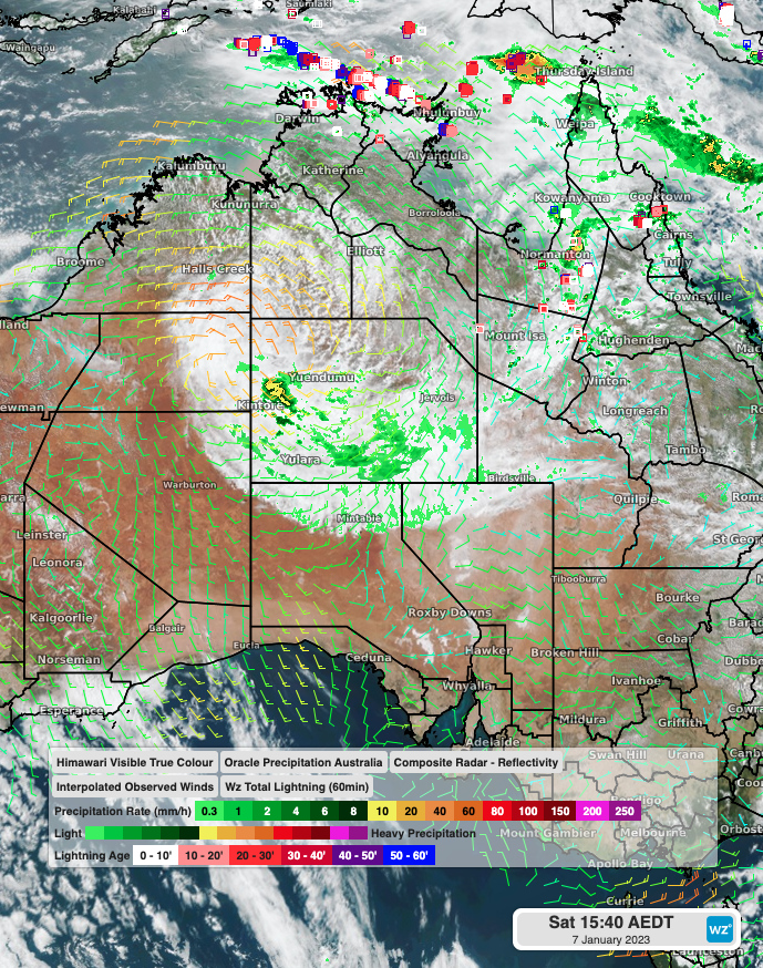 Fig 1: Himawari Visible True Colour Satellite with Weatherzone Oracle Radar
As the system moves slowly east across the NT, a further 100-200mm is possible across southwestern areas, with localised falls exceeding this, and falls of 40-80mm over a much wider area of central and southern parts of the territory (Fig 2). The system has already delivered some impressive totals, with Rabbit Flat received 208mm, its wettest 3-day spell in 7 years.
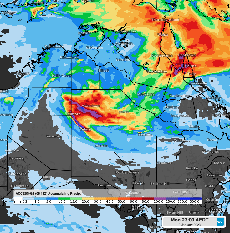
Figure 2: Accumulated Rainfall to 11pm Monday AEDT using Access-G
Rainfall will ease over the NT from Tuesday and the system weakens, with more significant rainfall developing over Queensland with a low-pressure trough.