
Drifting snow and damaging winds in Tasmania
Strong winds continue to howl across much of Tasmania today, including Mt Mawson where snow has been falling much of the day and snow drifts continue to grow. Damaging wind gusts exceeding 100km/h have been observed in some locations, including the following peak gusts:
- 106km/h at Hogan Island at 1:00pm
- 102km/h at Mount Wellington at 10:30am
For the second day in a row, a severe weather warning for damaging winds has been issued for parts of Tasmania.
These winter-like conditions can be attributed to a polar air mass which has roared over Tasmania in the wake of a powerful cold front. In addition to the strong winds and drifting snow, this outbreak of polar air has brought subfreezing temperatures to parts of the state this morning:
- Mount Wellington fell to -3.0°C at 3:48am
- Liawenee dropped to -1.8°C at 3:14am
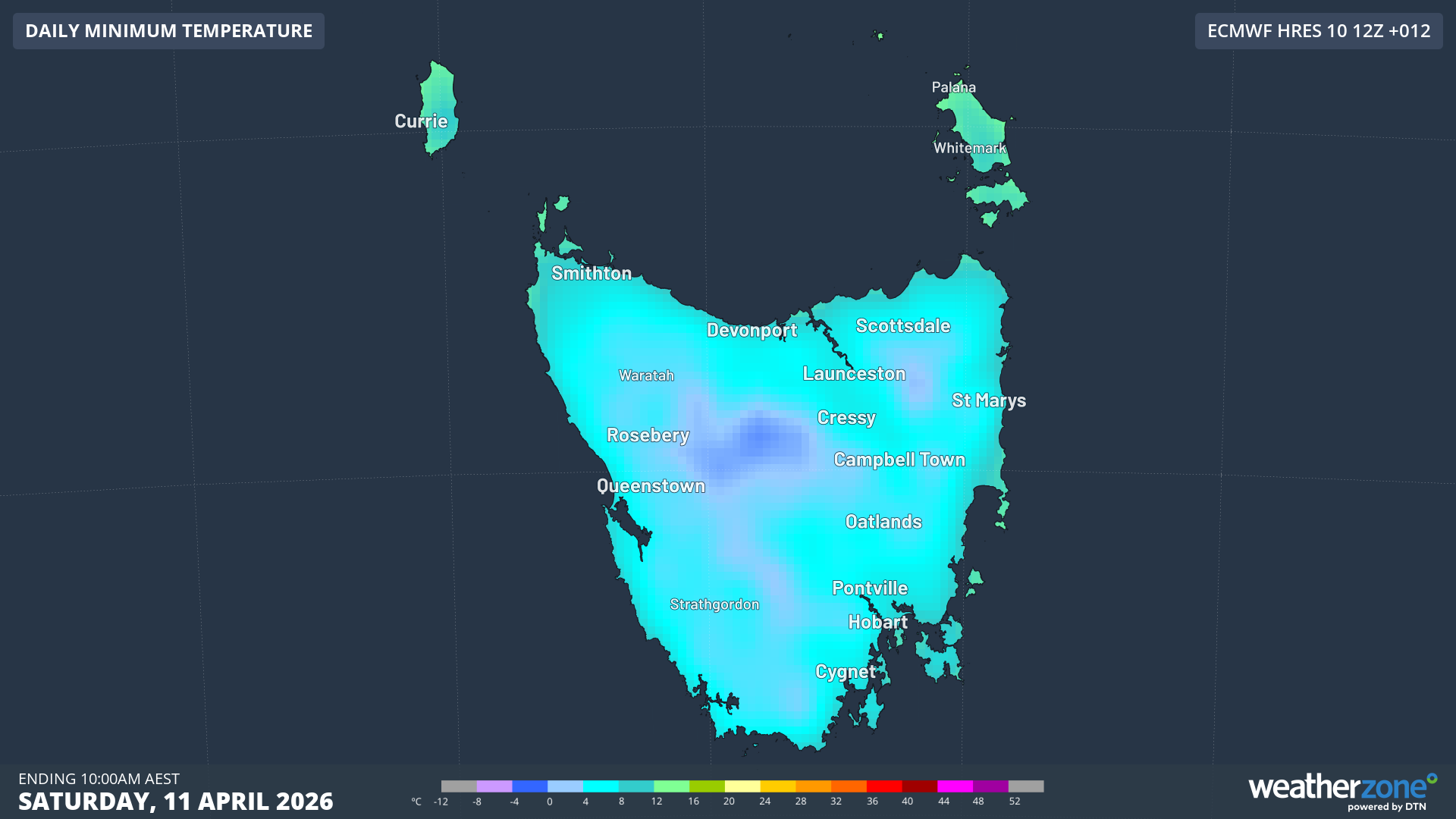
Image: Forecast minimum temperatures for the morning of Saturday, April 11, 2026, according to the ECMWF Model. Source: Weatherzone.
This winter blast will not stick around. Temperatures are expected to warm across Tasmania early next week.