
Double-edged sword: low pressure system could hinder then help WA firefighters
A low pressure system that's caused flooding over northern WA during the past week could soon make controlling the fires near Perth harder, then easier.
Over the past week, a tropical low pressure system traversed WA's Kimberley and Pilbara districts, delivering more than 400mm of rain in some areas and causing widespread flooding.
By Tuesday morning, the Fortescue River near Newman had jumped by 3.4 metres in under 24 hours as rivers bulged across the outback. Further east, the Kimberley's Fitzroy River at Noonkanbah rose from 3 metres last Thursday to over 10 metres today.
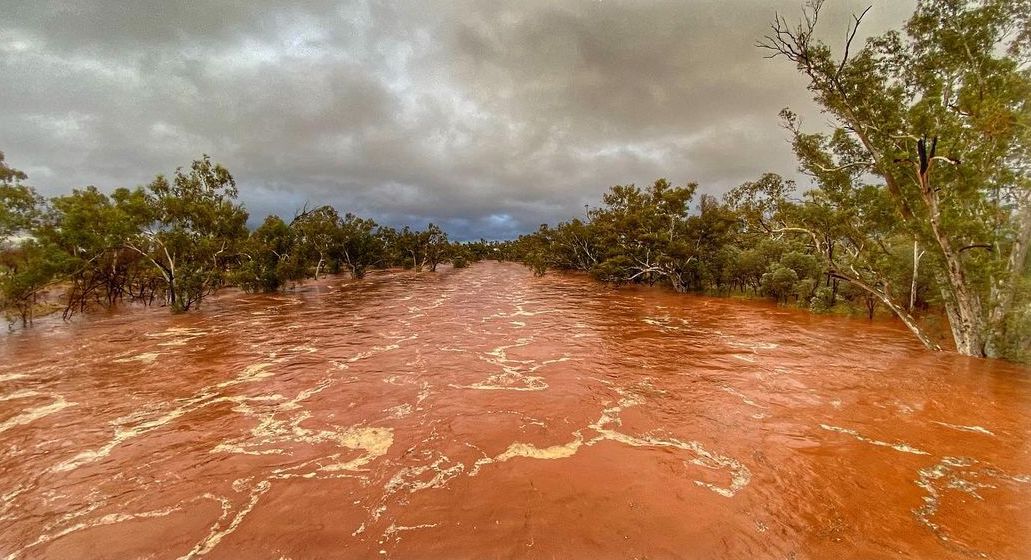
Image: The Fortescue River flowing steadily this week after a tropical low broght heavy rain to the Pilbara. Credit: @kevinmitchellchasingstars / Instagram
As of 2am WST today, the tropical low was located over the western Gascoyne district, about 145 km to the northeast of Carnarvon.
This low is expected to move off the Gascoyne coast today before travelling towards the south from Friday into the weekend.
As the low moves south, it should stay located close to or over the west coast of WA, where it will cause both wind and rain to increase. This could bring a mix of welcome and unwelcome weather for firefighters near Perth.
On Thursday and Friday, warm and dry easterly winds will affect the fire grounds near Perth. These winds could gust to around 70 km/h at times as temperatures climb into the high-twenties. Controlling fires in these conditions will be difficult.
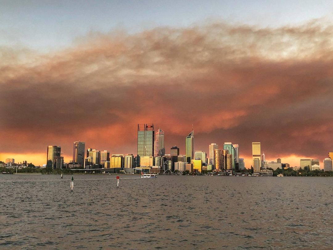
Image: Smoke looming over Perth earlier this week as fires scorched the nearby hills. Credit: @spencerlot / Instagram
Unfortunately, easterly winds could strengthen even more on the weekend as the low gets closer. However, the southward-moving low will also drag tropical moisture across southwestern Australia, increasing the prospect of much-needed rain near Perth on both Saturday and Sunday.
While there is still some uncertainty regarding the location of the low as it moves south this weekend, most models agree that the Perth region will see some useful rain. At this stage, about 5-10mm of rain is likely across the weekend and 30-40mm is possible.
Visit https://www.emergency.wa.gov.au/ for the latest information on flooding and fires in WA.